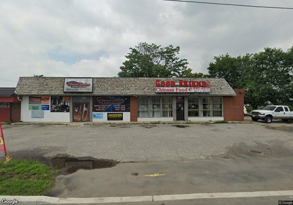
760 N Delsea Dr Vineland, NJ 08360
--
Bed
--
Bath
--
Sq Ft
0.93
Acres
About This Home
This home is located at 760 N Delsea Dr, Vineland, NJ 08360. 760 N Delsea Dr is a home located in Cumberland County with nearby schools including Marie D. Durand Elementary School, T.W. Wallace Middle School, and Vineland Senior High School.
Ownership History
Date
Name
Owned For
Owner Type
Purchase Details
Closed on
Apr 27, 1994
Sold by
Lewis D De Marco
Bought by
L J Zucca Inc
Home Financials for this Owner
Home Financials are based on the most recent Mortgage that was taken out on this home.
Original Mortgage
$175,000
Interest Rate
7.7%
Mortgage Type
Commercial
Purchase Details
Closed on
Oct 8, 1986
Bought by
L J Zucca, Inc
Create a Home Valuation Report for This Property
The Home Valuation Report is an in-depth analysis detailing your home's value as well as a comparison with similar homes in the area
Home Values in the Area
Average Home Value in this Area
Purchase History
| Date | Buyer | Sale Price | Title Company |
|---|---|---|---|
| L J Zucca Inc | $220,000 | -- | |
| L J Zucca, Inc | $118,000 | -- |
Source: Public Records
Mortgage History
| Date | Status | Borrower | Loan Amount |
|---|---|---|---|
| Closed | L J Zucca Inc | $175,000 |
Source: Public Records
Tax History Compared to Growth
Tax History
| Year | Tax Paid | Tax Assessment Tax Assessment Total Assessment is a certain percentage of the fair market value that is determined by local assessors to be the total taxable value of land and additions on the property. | Land | Improvement |
|---|---|---|---|---|
| 2025 | $109,794 | $3,448,300 | $1,171,800 | $2,276,500 |
| 2024 | $109,794 | $3,448,300 | $1,171,800 | $2,276,500 |
| 2023 | $109,070 | $3,448,300 | $1,171,800 | $2,276,500 |
| 2022 | $105,828 | $3,448,300 | $1,171,800 | $2,276,500 |
| 2021 | $103,897 | $3,448,300 | $1,171,800 | $2,276,500 |
| 2020 | $100,932 | $3,448,300 | $1,171,800 | $2,276,500 |
| 2019 | $99,552 | $3,448,300 | $1,171,800 | $2,276,500 |
| 2018 | $96,932 | $3,448,300 | $1,171,800 | $2,276,500 |
| 2017 | $92,070 | $3,448,300 | $1,171,800 | $2,276,500 |
| 2016 | $88,828 | $3,448,300 | $1,171,800 | $2,276,500 |
| 2015 | $85,552 | $3,448,300 | $1,171,800 | $2,276,500 |
| 2014 | $80,897 | $3,448,300 | $1,171,800 | $2,276,500 |
Source: Public Records
Map
Nearby Homes
- 550 Northwest Ave
- 1252 W Oak Rd
- 1429 W Oak Rd
- 1500 Venus Dr
- 663 Wayne Ave
- 108 W Park Ave
- 1489 N Delsea Dr
- 0 W Landis Ave
- 330 W Peach St
- 1457 W Landis Ave
- 1811 N Delsea Dr Unit 4
- 1535 W Landis Ave
- 1469 N Mill Rd
- 1887 N Delsea Dr Unit 39
- 1887 N Delsea Dr Unit 135 HOLLY HOCK DR.
- 1887 N Delsea Dr Unit 19
- 218 W Montrose St
- 1799 W Landis Ave
- 404 Montrose St
- 329 W Grape St
- 763 N Delsea Dr
- 780 N Delsea Dr
- 754 N Delsea Dr
- 759 N Delsea Dr
- 967 Warren Dr
- 892 N Delsea Dr
- 927 N Delsea Dr
- 22 Avon Place
- 940 N Delsea Dr
- 26 Avon Place
- 947 N Delsea Dr
- 657 N Delsea Dr
- 657 N Delsea Dr
- 30 Avon Place
- 23 Avon Place
- 681 N Delsea Dr
- 32 Avon Place
- 645 N Delsea Dr
- 29 Avon Place
- 34 Avon Place