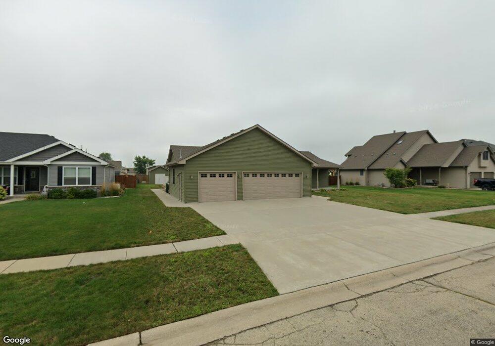
760 Quail Run Coal City, IL 60416
Estimated Value: $338,000 - $363,284
3
Beds
2
Baths
1,560
Sq Ft
$223/Sq Ft
Est. Value
About This Home
This home is located at 760 Quail Run, Coal City, IL 60416 and is currently estimated at $347,321, approximately $222 per square foot. 760 Quail Run is a home located in Grundy County with nearby schools including Coal City Elementary School, Coal City Intermediate School, and Coal City Middle School.
Ownership History
Date
Name
Owned For
Owner Type
Purchase Details
Closed on
Sep 16, 2024
Sold by
Kuriger Mark A
Bought by
Howell Scott A and Howell Ashley R
Current Estimated Value
Home Financials for this Owner
Home Financials are based on the most recent Mortgage that was taken out on this home.
Original Mortgage
$127,500
Outstanding Balance
$126,067
Interest Rate
6.47%
Mortgage Type
New Conventional
Estimated Equity
$221,254
Create a Home Valuation Report for This Property
The Home Valuation Report is an in-depth analysis detailing your home's value as well as a comparison with similar homes in the area
Home Values in the Area
Average Home Value in this Area
Purchase History
| Date | Buyer | Sale Price | Title Company |
|---|---|---|---|
| Howell Scott A | $327,500 | Fidelity National Title |
Source: Public Records
Mortgage History
| Date | Status | Borrower | Loan Amount |
|---|---|---|---|
| Open | Howell Scott A | $127,500 |
Source: Public Records
Tax History Compared to Growth
Tax History
| Year | Tax Paid | Tax Assessment Tax Assessment Total Assessment is a certain percentage of the fair market value that is determined by local assessors to be the total taxable value of land and additions on the property. | Land | Improvement |
|---|---|---|---|---|
| 2024 | $8,492 | $118,777 | $19,500 | $99,277 |
| 2023 | $7,901 | $110,511 | $18,143 | $92,368 |
| 2022 | $5,150 | $102,725 | $16,865 | $85,860 |
| 2021 | $4,845 | $97,121 | $15,945 | $81,176 |
| 2020 | $4,966 | $93,539 | $15,357 | $78,182 |
| 2019 | $6,010 | $89,000 | $14,612 | $74,388 |
| 2018 | $5,851 | $87,794 | $14,414 | $73,380 |
| 2017 | $4,084 | $84,126 | $13,812 | $70,314 |
| 2016 | $4,703 | $73,909 | $13,240 | $60,669 |
| 2015 | $3,394 | $50,698 | $12,786 | $37,912 |
| 2014 | $3,793 | $63,430 | $12,805 | $50,625 |
| 2013 | $3,842 | $64,990 | $13,120 | $51,870 |
Source: Public Records
Map
Nearby Homes
- 495 Trotter Dr
- 485 Trotter Dr
- 929 Covey Ln
- 933 Covey Ln
- 937 Covey Ln
- 801 W Daisy Place
- 935 Covey Ln
- 573-585 S Mazon St
- 20 N Carbon Hill Rd
- 120 E Elm St
- 385 S Kankakee St
- 170 E Walnut St
- 560 S Vermillion St
- 80 E Spring Rd
- 500 E Barber Dr
- 595 W Rathburn St
- 395 N Kankakee St
- Lot 6 Mcardle Rd
- Lot 5 Mcardle Rd
- Lot 4 Mcardle Rd