760 W Pond Dr Fairview, OR 97024
Estimated Value: $403,616 - $476,000
2
Beds
1
Bath
1,252
Sq Ft
$356/Sq Ft
Est. Value
About This Home
This home is located at 760 W Pond Dr, Fairview, OR 97024 and is currently estimated at $445,654, approximately $355 per square foot. 760 W Pond Dr is a home located in Multnomah County with nearby schools including Salish Ponds Elementary School, Reynolds Middle School, and Reynolds High School.
Ownership History
Date
Name
Owned For
Owner Type
Purchase Details
Closed on
Feb 23, 2021
Sold by
Lowe Toni Marie
Bought by
Lowe Toni Marie and Robert And Toni Lowe Family Trust
Current Estimated Value
Purchase Details
Closed on
Jul 10, 2006
Sold by
Wentworth Dean R
Bought by
Stanhope Toni Marie
Home Financials for this Owner
Home Financials are based on the most recent Mortgage that was taken out on this home.
Original Mortgage
$216,000
Outstanding Balance
$128,305
Interest Rate
6.66%
Mortgage Type
Purchase Money Mortgage
Estimated Equity
$317,349
Purchase Details
Closed on
Feb 1, 2002
Sold by
Gra Development Inc
Bought by
Wentworth Dean R and Wentworth Patricia Given
Home Financials for this Owner
Home Financials are based on the most recent Mortgage that was taken out on this home.
Original Mortgage
$199,500
Interest Rate
7.15%
Mortgage Type
Purchase Money Mortgage
Create a Home Valuation Report for This Property
The Home Valuation Report is an in-depth analysis detailing your home's value as well as a comparison with similar homes in the area
Home Values in the Area
Average Home Value in this Area
Purchase History
| Date | Buyer | Sale Price | Title Company |
|---|---|---|---|
| Lowe Toni Marie | -- | None Available | |
| Stanhope Toni Marie | $270,000 | Fidelity Natl Title Co Of Or | |
| Wentworth Dean R | $219,500 | Fidelity National Title Co |
Source: Public Records
Mortgage History
| Date | Status | Borrower | Loan Amount |
|---|---|---|---|
| Open | Stanhope Toni Marie | $216,000 | |
| Previous Owner | Wentworth Dean R | $199,500 |
Source: Public Records
Tax History Compared to Growth
Tax History
| Year | Tax Paid | Tax Assessment Tax Assessment Total Assessment is a certain percentage of the fair market value that is determined by local assessors to be the total taxable value of land and additions on the property. | Land | Improvement |
|---|---|---|---|---|
| 2024 | $4,633 | $264,550 | -- | -- |
| 2023 | $4,520 | $256,850 | $0 | $0 |
| 2022 | $4,411 | $249,370 | $0 | $0 |
| 2021 | $4,299 | $242,110 | $0 | $0 |
| 2020 | $4,015 | $235,060 | $0 | $0 |
| 2019 | $3,851 | $228,220 | $0 | $0 |
| 2018 | $3,813 | $221,580 | $0 | $0 |
| 2017 | $3,692 | $215,130 | $0 | $0 |
| 2016 | $3,534 | $208,870 | $0 | $0 |
| 2015 | $3,433 | $202,790 | $0 | $0 |
| 2014 | $3,288 | $196,890 | $0 | $0 |
Source: Public Records
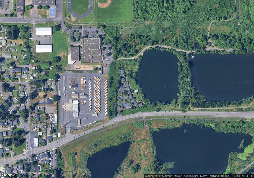
Map
Nearby Homes
- 515 NE 198th Ave
- 20147 NE Halsey St
- 2171 NE 207th Place
- 2150 NE 207th Place
- 19838 NE Wasco St
- 19748 NE Everett Ln
- 152 SE 205th Dr
- 1305 NE Village St
- 321 SE 205th Place Unit 323
- 1495 NE Village St
- 1505 NE Village St
- 825 NE 194th Ave
- 132 SE 214th Ave
- 1443 NE Village St
- 209 SE 214th Ave
- 407 SE 202nd Ave
- 21428 SE Ash St
- 2202 NE 203rd Ave
- 1486 NE Market Dr
- 1333 NE Charles Ct
- 750 W Pond Dr
- 770 W Pond Dr
- 740 W Pond Dr
- 780 W Pond Dr
- 730 W Pond Dr
- 790 W Pond Dr
- 720 W Pond Dr
- 800 W Pond Dr
- 710 W Pond Dr
- 17616 NE Glisan St
- 0 NE Glisan St
- 20280 NE Oregon St
- 20260 NE Oregon St
- 20225 NE Oregon St
- 20305 NE Glisan St
- 718 NE 202nd Ave
- 710 NE 202nd Ave
- 628 NE 202nd Ave
- 20235 NE Glisan St
- 730 NE 202nd Ave