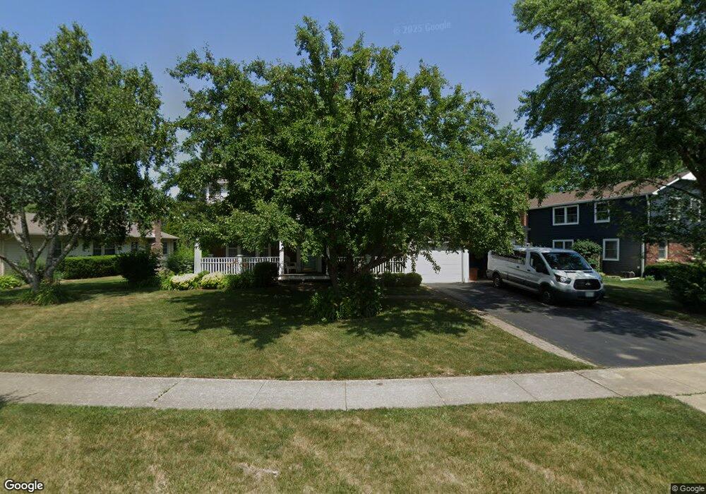
760 Wyngate Ln Buffalo Grove, IL 60089
Estimated Value: $516,321 - $573,000
4
Beds
3
Baths
2,136
Sq Ft
$250/Sq Ft
Est. Value
About This Home
This home is located at 760 Wyngate Ln, Buffalo Grove, IL 60089 and is currently estimated at $534,330, approximately $250 per square foot. 760 Wyngate Ln is a home located in Lake County with nearby schools including Ivy Hall Elementary School, Twin Groves Middle School, and Adlai E Stevenson High School.
Ownership History
Date
Name
Owned For
Owner Type
Purchase Details
Closed on
Jun 23, 2014
Sold by
Abbott Drew and Comin Maryn A
Bought by
Abbott Drew and Abbott Maryn A
Current Estimated Value
Purchase Details
Closed on
Mar 27, 2009
Sold by
Capre Karen J and Capre William
Bought by
Abbot Drew and Comin Maryn A
Home Financials for this Owner
Home Financials are based on the most recent Mortgage that was taken out on this home.
Original Mortgage
$301,500
Outstanding Balance
$192,330
Interest Rate
5.11%
Mortgage Type
Purchase Money Mortgage
Estimated Equity
$342,000
Purchase Details
Closed on
Jul 17, 1996
Sold by
Brumby Robert E and Brumby Ruth E
Bought by
Capre William and Capre Karren J
Home Financials for this Owner
Home Financials are based on the most recent Mortgage that was taken out on this home.
Original Mortgage
$136,000
Interest Rate
8.43%
Mortgage Type
Balloon
Create a Home Valuation Report for This Property
The Home Valuation Report is an in-depth analysis detailing your home's value as well as a comparison with similar homes in the area
Home Values in the Area
Average Home Value in this Area
Purchase History
| Date | Buyer | Sale Price | Title Company |
|---|---|---|---|
| Abbott Drew | -- | Premier Title | |
| Abbot Drew | $335,000 | Chicago Title Insurance Co | |
| Capre William | $181,000 | -- |
Source: Public Records
Mortgage History
| Date | Status | Borrower | Loan Amount |
|---|---|---|---|
| Open | Abbot Drew | $301,500 | |
| Previous Owner | Capre William | $136,000 |
Source: Public Records
Tax History Compared to Growth
Tax History
| Year | Tax Paid | Tax Assessment Tax Assessment Total Assessment is a certain percentage of the fair market value that is determined by local assessors to be the total taxable value of land and additions on the property. | Land | Improvement |
|---|---|---|---|---|
| 2024 | $12,216 | $134,689 | $35,136 | $99,553 |
| 2023 | $12,190 | $127,089 | $33,153 | $93,936 |
| 2022 | $12,190 | $122,908 | $32,062 | $90,846 |
| 2021 | $11,728 | $121,582 | $31,716 | $89,866 |
| 2020 | $11,452 | $121,997 | $31,824 | $90,173 |
| 2019 | $11,295 | $121,548 | $31,707 | $89,841 |
| 2018 | $10,299 | $114,741 | $31,335 | $83,406 |
| 2017 | $10,104 | $112,063 | $30,604 | $81,459 |
| 2016 | $9,837 | $107,309 | $29,306 | $78,003 |
| 2015 | $9,571 | $100,355 | $27,407 | $72,948 |
| 2014 | $8,741 | $90,931 | $29,436 | $61,495 |
| 2012 | $8,662 | $91,113 | $29,495 | $61,618 |
Source: Public Records
Map
Nearby Homes
- 711 Woodhollow Ln
- 610 Checker Dr
- 931 Shady Grove Ln
- 1141 Devonshire Rd
- 800 Clohesey Dr
- 1113 Lockwood Dr
- 938 Hidden Lake Dr
- 1118 Larraway Dr
- 390 Springside Ln
- 412 Chateau Dr
- 1265 Devonshire Rd
- 603 Cherbourg Ct N
- 720 Dunhill Dr
- 625 Marseilles Cir
- 670 Dunhill Dr
- 12 Cloverdale Ct
- 746 Old Checker Rd Unit E5
- 1032 Courtland Dr Unit 9
- 437 Caren Dr
- 327 Lasalle Ln
- 750 Wyngate Ln
- 770 Wyngate Ln
- 811 Woodhollow Ln
- 801 Woodhollow Ln
- 740 Wyngate Ln
- 751 Wyngate Ln
- 741 Wyngate Ln
- 781 Woodhollow Ln
- 731 Wyngate Ln
- 761 Wyngate Ln
- 721 Wyngate Ln
- 730 Wyngate Ln
- 761 Woodhollow Ln
- 830 Woodhollow Ln
- 861 Woodhollow Ln
- 820 Woodhollow Ln
- 740 Shady Grove Ln Unit 7
- 750 Shady Grove Ln Unit 7
- 790 Woodhollow Ln Unit 7
- 730 Shady Grove Ln