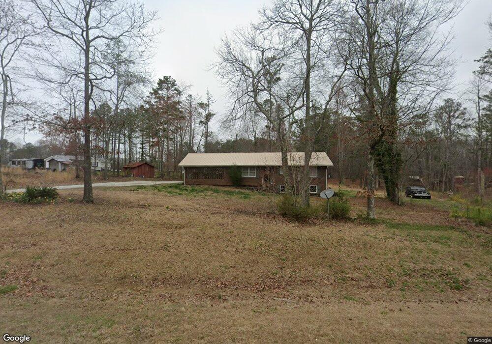
7600 Georgia Highway 120 Buchanan, GA 30113
Estimated Value: $210,255 - $340,000
3
Beds
1
Bath
1,196
Sq Ft
$213/Sq Ft
Est. Value
About This Home
This home is located at 7600 Georgia Highway 120, Buchanan, GA 30113 and is currently estimated at $255,064, approximately $213 per square foot. 7600 Georgia Highway 120 is a home located in Haralson County with nearby schools including Haralson County High School.
Ownership History
Date
Name
Owned For
Owner Type
Purchase Details
Closed on
Dec 14, 2016
Sold by
Wade Max D
Bought by
Roer Gatlin J
Current Estimated Value
Home Financials for this Owner
Home Financials are based on the most recent Mortgage that was taken out on this home.
Original Mortgage
$56,500
Outstanding Balance
$46,204
Interest Rate
3.94%
Mortgage Type
New Conventional
Estimated Equity
$208,860
Purchase Details
Closed on
Apr 8, 2015
Sold by
Yearty Mary Frances
Bought by
Wade Max D
Purchase Details
Closed on
Oct 28, 2010
Sold by
Yearty Mary
Bought by
Yearty Mary
Purchase Details
Closed on
Jan 14, 1987
Bought by
Yearty Mary
Create a Home Valuation Report for This Property
The Home Valuation Report is an in-depth analysis detailing your home's value as well as a comparison with similar homes in the area
Home Values in the Area
Average Home Value in this Area
Purchase History
| Date | Buyer | Sale Price | Title Company |
|---|---|---|---|
| Roer Gatlin J | $84,000 | -- | |
| Wade Max D | $5,000 | -- | |
| Yearty Mary | -- | -- | |
| Yearty Mary | -- | -- | |
| Yearty Mary | -- | -- |
Source: Public Records
Mortgage History
| Date | Status | Borrower | Loan Amount |
|---|---|---|---|
| Open | Roer Gatlin J | $56,500 |
Source: Public Records
Tax History Compared to Growth
Tax History
| Year | Tax Paid | Tax Assessment Tax Assessment Total Assessment is a certain percentage of the fair market value that is determined by local assessors to be the total taxable value of land and additions on the property. | Land | Improvement |
|---|---|---|---|---|
| 2024 | $1,091 | $44,067 | $7,703 | $36,364 |
| 2023 | $1,188 | $46,299 | $6,403 | $39,896 |
| 2022 | $952 | $37,487 | $6,403 | $31,084 |
| 2021 | $939 | $35,626 | $6,055 | $29,571 |
| 2020 | $974 | $36,727 | $6,055 | $30,672 |
| 2019 | $981 | $35,685 | $6,055 | $29,630 |
| 2018 | $996 | $35,685 | $6,055 | $29,630 |
| 2017 | $999 | $32,734 | $6,055 | $26,679 |
| 2016 | $952 | $31,084 | $5,769 | $25,315 |
| 2015 | $895 | $29,181 | $5,769 | $23,412 |
| 2014 | -- | $29,568 | $5,769 | $23,799 |
Source: Public Records
Map
Nearby Homes
- 112 Brannon Rd
- 340 Loftis Rd
- 211 Loftis Rd
- 300 Speight Rd
- 191 True Gospel Rd
- 2930 N Highway 113
- 00 Coppermine Rd
- 1225 Coppermine Rd
- 71 Friendship Church Rd
- 991 Waddell Rd
- 0 Hutcheson Rd Unit 10474278
- 0 Hutcheson Rd Unit 7537190
- 2895 Morgan Rd
- 2050 Georgia 113
- 0 Hamrick Rd Unit 25461822
- TBD Hamrick Rd
- 2404 Corinth Poseyville Rd
- 818 Corinth Five Points Rd
- 140 Suburban Dr
- 621 Old Corinth Rd
- 626 Old Corinth Rd
- 10 Dogwood Trail
- 7619 Georgia Highway 120
- 686 Old Corinth Rd
- 7560 Georgia Highway 120
- 28 Dogwood Trail
- 5 Ball Park Rd
- 610 Old Corinth Rd
- 0 Biggers Rd Unit 7308921
- 0 Biggers Rd Unit 7579315
- 0 Biggers Rd Unit 8976629
- 0 Biggers Rd Unit 8291829
- 0 Biggers Rd Unit 8547796
- 45 Ball Park Rd
- 50 Dogwood Trail
- 7532 Georgia Highway 120
- 41 Dogwood Trail
- 568 Old Corinth Rd
- 557 Old Corinth Rd