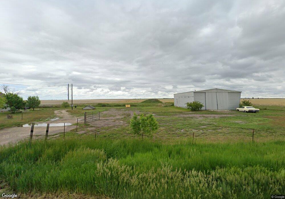
7600 Highway 79 Bennett, CO 80102
Estimated Value: $330,000 - $538,000
2
Beds
1
Bath
1,120
Sq Ft
$397/Sq Ft
Est. Value
About This Home
This home is located at 7600 Highway 79, Bennett, CO 80102 and is currently estimated at $444,408, approximately $396 per square foot. 7600 Highway 79 is a home with nearby schools including Bennett Elementary School, Bennett Middle School, and Bennett High School.
Ownership History
Date
Name
Owned For
Owner Type
Purchase Details
Closed on
Dec 23, 2024
Sold by
Buchanan Bradley S
Bought by
Camp B 2 Land Company Llc
Current Estimated Value
Purchase Details
Closed on
May 26, 2022
Sold by
Steven Buck
Bought by
Sky Key Llc
Home Financials for this Owner
Home Financials are based on the most recent Mortgage that was taken out on this home.
Original Mortgage
$600,000
Interest Rate
5.1%
Purchase Details
Closed on
Feb 27, 2020
Sold by
Buck Steven
Bought by
7600 Kiowa Bennett Rd Llc
Purchase Details
Closed on
Jun 4, 2009
Sold by
Wells Fargo Financial Colorado Inc
Bought by
Buck Steven
Purchase Details
Closed on
Feb 27, 2009
Sold by
Raybon Mike D
Bought by
Wells Fargo Financial Colorado Inc
Create a Home Valuation Report for This Property
The Home Valuation Report is an in-depth analysis detailing your home's value as well as a comparison with similar homes in the area
Purchase History
| Date | Buyer | Sale Price | Title Company |
|---|---|---|---|
| Camp B 2 Land Company Llc | -- | None Listed On Document | |
| Camp B 2 Land Company Llc | -- | None Listed On Document | |
| Sky Key Llc | -- | Land Title Guarantee | |
| 7600 Kiowa Bennett Rd Llc | -- | None Available | |
| Buck Steven | $56,000 | Security Title | |
| Wells Fargo Financial Colorado Inc | -- | None Available |
Source: Public Records
Mortgage History
| Date | Status | Borrower | Loan Amount |
|---|---|---|---|
| Previous Owner | Sky Key Llc | $600,000 |
Source: Public Records
Tax History
| Year | Tax Paid | Tax Assessment Tax Assessment Total Assessment is a certain percentage of the fair market value that is determined by local assessors to be the total taxable value of land and additions on the property. | Land | Improvement |
|---|---|---|---|---|
| 2025 | $2,343 | $33,320 | $8,500 | $24,820 |
| 2024 | $2,343 | $30,620 | $7,810 | $22,810 |
| 2023 | $2,360 | $35,320 | $7,580 | $27,740 |
| 2022 | $2,230 | $29,670 | $7,780 | $21,890 |
| 2021 | $2,274 | $29,670 | $7,780 | $21,890 |
| 2020 | $1,938 | $26,460 | $8,010 | $18,450 |
| 2019 | $1,998 | $26,460 | $8,010 | $18,450 |
| 2018 | $1,770 | $21,040 | $4,320 | $16,720 |
| 2017 | $1,785 | $21,040 | $4,320 | $16,720 |
| 2016 | $1,090 | $13,360 | $4,300 | $9,060 |
| 2015 | $1,083 | $13,360 | $4,300 | $9,060 |
| 2014 | $1,131 | $13,730 | $4,300 | $9,430 |
Source: Public Records
Map
Nearby Homes
- 8555 Converse Rd
- 48155 E 56th Ave
- 49531 E 56th Ave
- 51315 E 56th Ave
- 5549 Yulle Rd
- 47790 E 72nd Ave
- 1 Lots 1-6 Vacant Land Penrith
- 0 Vacant Land Parcel 2 Unit REC5959024
- 44000 E 88th Ave
- 1 Vacant Land Penrith
- 43201 E 88th Ave
- 47081 E 106th Ave
- 50700 E 104th Ave
- 48165 Shetland Dr
- 48185 Shetland Dr
- 48205 Shetland Dr
- 48175 Shetland Dr
- 48215 Shetland Dr
- 48250 Shetland Dr
- 48240 Shetland Dr
- 7600 Kiowa Bennett Rd
- Parcel #3 Waiting for County To Assign
- 3 Kiowa-Bennett Rd
- 0 N Kiowa Bennett Rd
- 2 Kiowa-Bennet Rd
- Parcel 2 Waiting for County To Assign
- 1 Kiowa-Bennett Rd
- 48840 E 80th Ave
- 49155 E 80th Ave
- 8025 Highway 79
- 47901 E 72nd Ave
- 49800 E 72nd Ave
- 7500 Converse Rd
- 6920 Highway 79
- 6840 Colorado 79
- 49850 E 72nd Ave
- 8370 Highway 79
- 8370 Highway 79
- 8370 Co Highway 79
Your Personal Tour Guide
Ask me questions while you tour the home.