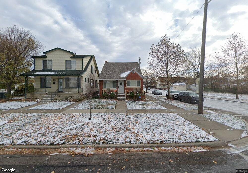
7600 Maple St Dearborn, MI 48126
Oakman Grove NeighborhoodEstimated Value: $206,000 - $318,000
3
Beds
2
Baths
1,539
Sq Ft
$173/Sq Ft
Est. Value
About This Home
This home is located at 7600 Maple St, Dearborn, MI 48126 and is currently estimated at $265,681, approximately $172 per square foot. 7600 Maple St is a home located in Wayne County with nearby schools including McCollough-Unis School, Fordson High School, and Riverside Academy East.
Ownership History
Date
Name
Owned For
Owner Type
Purchase Details
Closed on
Nov 16, 2010
Sold by
Achour Mohamad
Bought by
Sobh Hania A and Sobh Hania
Current Estimated Value
Purchase Details
Closed on
Sep 3, 2008
Sold by
Achour Mohamad
Bought by
The Huntington National Bank
Purchase Details
Closed on
Mar 8, 2004
Sold by
Achour Mohamad and Achour Abbas
Bought by
Achour Mohamad
Home Financials for this Owner
Home Financials are based on the most recent Mortgage that was taken out on this home.
Original Mortgage
$150,000
Interest Rate
7%
Mortgage Type
Stand Alone Refi Refinance Of Original Loan
Create a Home Valuation Report for This Property
The Home Valuation Report is an in-depth analysis detailing your home's value as well as a comparison with similar homes in the area
Home Values in the Area
Average Home Value in this Area
Purchase History
| Date | Buyer | Sale Price | Title Company |
|---|---|---|---|
| Sobh Hania A | $66,000 | Title One Inc | |
| The Huntington National Bank | $52,500 | None Available | |
| Achour Mohamad | -- | -- |
Source: Public Records
Mortgage History
| Date | Status | Borrower | Loan Amount |
|---|---|---|---|
| Previous Owner | Achour Mohamad | $150,000 |
Source: Public Records
Tax History
| Year | Tax Paid | Tax Assessment Tax Assessment Total Assessment is a certain percentage of the fair market value that is determined by local assessors to be the total taxable value of land and additions on the property. | Land | Improvement |
|---|---|---|---|---|
| 2025 | $2,621 | $111,200 | $0 | $0 |
| 2024 | $2,563 | $91,200 | $0 | $0 |
| 2023 | $2,426 | $88,100 | $0 | $0 |
| 2022 | $2,730 | $83,200 | $0 | $0 |
| 2021 | $3,172 | $77,700 | $0 | $0 |
| 2019 | $3,140 | $68,300 | $0 | $0 |
| 2018 | $3,240 | $59,500 | $0 | $0 |
| 2017 | $763 | $55,000 | $0 | $0 |
| 2016 | $2,488 | $52,200 | $0 | $0 |
| 2015 | $4,702 | $51,600 | $0 | $0 |
| 2013 | $4,555 | $45,550 | $0 | $0 |
| 2011 | -- | $50,050 | $0 | $0 |
Source: Public Records
Map
Nearby Homes
- 7813 Neckel St
- 7750 Morross Ct
- 7449 Williamson St
- 7927 Bingham St
- 7247 Middlesex St
- 7241 Middlesex St
- 8029 Hartwell St
- 7705 Anthony St
- 8042 Hartwell St
- 7758 Reuter St
- 7857 Esper Blvd
- 8154 Decatur St
- 7524 Hartwell St
- 8229 Carlin St
- 8207 Schaefer Hwy
- 8118 Cheyenne St
- 7308 Orchard Ave
- 8130 Ward St
- 7658 Appoline St
- 7639 Ternes St
Your Personal Tour Guide
Ask me questions while you tour the home.