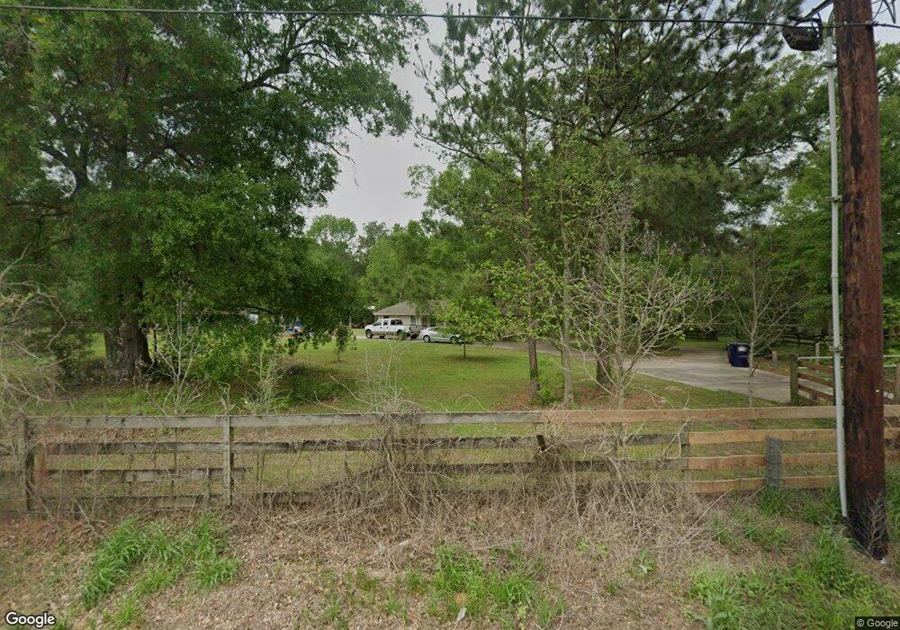
7600 Waukegan Rd Conroe, TX 77306
Estimated Value: $292,000 - $498,000
3
Beds
2
Baths
1,764
Sq Ft
$237/Sq Ft
Est. Value
About This Home
This home is located at 7600 Waukegan Rd, Conroe, TX 77306 and is currently estimated at $417,400, approximately $236 per square foot. 7600 Waukegan Rd is a home located in Montgomery County with nearby schools including Austin Elementary School, Moorhead Junior High School, and Caney Creek High School.
Ownership History
Date
Name
Owned For
Owner Type
Purchase Details
Closed on
Aug 18, 2000
Sold by
Noskrent Larry D and Noskrent Diane S
Bought by
Torrie Euan and Lawrence Ursula
Current Estimated Value
Home Financials for this Owner
Home Financials are based on the most recent Mortgage that was taken out on this home.
Original Mortgage
$168,600
Outstanding Balance
$61,132
Interest Rate
8.22%
Estimated Equity
$356,268
Purchase Details
Closed on
Nov 10, 1992
Sold by
Edmiston Monetta R
Bought by
Torrie Euan
Create a Home Valuation Report for This Property
The Home Valuation Report is an in-depth analysis detailing your home's value as well as a comparison with similar homes in the area
Home Values in the Area
Average Home Value in this Area
Purchase History
| Date | Buyer | Sale Price | Title Company |
|---|---|---|---|
| Torrie Euan | -- | -- | |
| Torrie Euan | -- | -- |
Source: Public Records
Mortgage History
| Date | Status | Borrower | Loan Amount |
|---|---|---|---|
| Open | Torrie Euan | $168,600 |
Source: Public Records
Tax History Compared to Growth
Tax History
| Year | Tax Paid | Tax Assessment Tax Assessment Total Assessment is a certain percentage of the fair market value that is determined by local assessors to be the total taxable value of land and additions on the property. | Land | Improvement |
|---|---|---|---|---|
| 2025 | $4,186 | $378,754 | -- | -- |
| 2024 | $3,718 | $344,322 | -- | -- |
| 2023 | $3,718 | $313,020 | $264,950 | $173,490 |
| 2022 | $4,957 | $284,560 | $264,950 | $206,630 |
| 2021 | $4,783 | $258,690 | $0 | $0 |
| 2020 | $4,572 | $235,170 | $0 | $0 |
| 2019 | $4,307 | $213,790 | $0 | $0 |
| 2018 | $3,385 | $194,350 | $0 | $0 |
| 2017 | $3,590 | $177,650 | $37,850 | $139,800 |
| 2016 | $3,875 | $191,740 | $0 | $0 |
| 2015 | $3,028 | $174,310 | $0 | $0 |
| 2014 | $3,028 | $158,460 | $37,850 | $120,610 |
Source: Public Records
Map
Nearby Homes
- 6686 Waukegan Rd
- 8026 Forest Trace
- 7126 Jessica Leann
- 7980 Clayton Wayne Dr N
- 8020 Elise Nicole Dr
- 14745 Boyd Ln
- 8021 Matthew Steven Dr
- 14705 Boyd Ln
- 8335 Jernigan Rd
- 15552 Schank Rd
- 15519 Schank Rd
- 3537 Korina Way
- 14783 Echo Pines Ct
- 13927 Katlin Rd
- 5605 Forest Vista Ct
- 14747 Echo Pines Ct
- 14645 Forest Tower Ct
- 14764 Forest Tower Ct
- 14633 Forest Tower Ct
- 14749 S Ascot Bend Cir
- 7685 Willis Waukegan Rd
- 7803 Waukegan Rd
- Lt 7d Dusty
- LOT 17 Dusty Ln
- 0 Dusty Ln Unit 7034558
- 0 Dusty Ln Unit 10253759
- 0 Dusty Ln Unit 96717485
- 6907 Waukegan Rd
- 8045 Waukegan Rd
- 7102 Clayton Wayne Dr S
- 7107 Clayton Wayne South Dr
- 7111 Clayton Wayne South Dr
- 8760 Dusty Ln
- 8230 Dusty Ln
- 8013 Forest Trace Blvd
- 7122 Pierce Thomas
- 7725 Magnolia Trail
- 7725 Magnolia Trail
- 7150 Clayton Wayne South Dr
- 7126 Pierce Thomas
