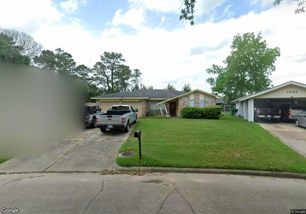
7601 Ferol Rd Houston, TX 77016
East Little York NeighborhoodEstimated Value: $149,000 - $204,000
3
Beds
2
Baths
1,318
Sq Ft
$134/Sq Ft
Est. Value
About This Home
This home is located at 7601 Ferol Rd, Houston, TX 77016 and is currently estimated at $176,614, approximately $134 per square foot. 7601 Ferol Rd is a home located in Harris County with nearby schools including Shadydale Elementary School, Forest Brook Middle, and North Forest High School.
Ownership History
Date
Name
Owned For
Owner Type
Purchase Details
Closed on
Sep 1, 2021
Sold by
Hollis William and Hollis Caren
Bought by
Hollis Robert
Current Estimated Value
Purchase Details
Closed on
Nov 7, 2014
Sold by
Wiley Harry L
Bought by
Hollis Robert and Hollis William
Home Financials for this Owner
Home Financials are based on the most recent Mortgage that was taken out on this home.
Original Mortgage
$78,551
Outstanding Balance
$61,792
Interest Rate
4.75%
Mortgage Type
FHA
Estimated Equity
$114,822
Create a Home Valuation Report for This Property
The Home Valuation Report is an in-depth analysis detailing your home's value as well as a comparison with similar homes in the area
Home Values in the Area
Average Home Value in this Area
Purchase History
| Date | Buyer | Sale Price | Title Company |
|---|---|---|---|
| Hollis Robert | -- | None Available | |
| Hollis Robert | -- | Texas American Title Co |
Source: Public Records
Mortgage History
| Date | Status | Borrower | Loan Amount |
|---|---|---|---|
| Open | Hollis Robert | $78,551 |
Source: Public Records
Tax History Compared to Growth
Tax History
| Year | Tax Paid | Tax Assessment Tax Assessment Total Assessment is a certain percentage of the fair market value that is determined by local assessors to be the total taxable value of land and additions on the property. | Land | Improvement |
|---|---|---|---|---|
| 2025 | $1,359 | $160,394 | $50,709 | $109,685 |
| 2024 | $1,359 | $160,394 | $50,709 | $109,685 |
| 2023 | $1,359 | $202,136 | $50,709 | $151,427 |
| 2022 | $2,417 | $163,757 | $42,596 | $121,161 |
| 2021 | $2,326 | $139,280 | $28,397 | $110,883 |
| 2020 | $2,197 | $115,000 | $21,095 | $93,905 |
| 2019 | $2,087 | $115,080 | $15,416 | $99,664 |
| 2018 | $1,897 | $74,974 | $13,874 | $61,100 |
| 2017 | $1,896 | $74,974 | $13,874 | $61,100 |
| 2016 | $1,806 | $71,419 | $13,874 | $57,545 |
| 2015 | $3 | $64,120 | $13,874 | $50,246 |
| 2014 | $3 | $56,140 | $13,874 | $42,266 |
Source: Public Records
Map
Nearby Homes
- 000 Rebel Rd
- 7615 Nevaeh Crest Path
- 7451 Langley Rd
- 7735 Nevaeh Crest Path
- 7726 Melanie St
- 7449 Gleason Rd
- 0 Cheeves Dr Unit 62643937
- 7818 Laurel Gem Dr
- 7827 Laurel Gem Dr
- 7823 Laurel Gem Dr
- 7821 Laurel Gem Dr
- 7812 Laurel Gem Dr
- 7830 Laurel Gem Dr
- 7824 Laurel Gem Dr
- 7819 Laurel Gem Dr
- 7815 Laurel Gem Dr
- 10313 Blades St
- Kitson Plan at Wayside Village
- Oakridge Plan at Wayside Village
- Barlow Plan at Wayside Village
- 10623 Rebel Rd
- 7605 Ferol Rd
- 7602 Nevaeh Crest Path
- 10703 Nyla Spring St
- o Rebel Rd
- 7606 Nevaeh Crest Path
- 10619 Rebel Rd
- 7609 Ferol Rd
- 7610 Nevaeh Crest Path
- 10707 Nyla Spring St
- 10614 Rebel Rd
- 7613 Ferol Rd
- 10615 Rebel Rd
- 7614 Nevaeh Crest Path
- 10602 Woodson Valley Dr
- 7603 Nevaeh Crest Path
- 10711 Nyla Spring St
- 10610 Rebel Rd
- 7610 Ferol Rd
- 10606 Woodson Valley Dr