7601 W Stoll Rd Lansing, MI 48906
Estimated Value: $365,000 - $576,595
3
Beds
3
Baths
2,695
Sq Ft
$183/Sq Ft
Est. Value
About This Home
This home is located at 7601 W Stoll Rd, Lansing, MI 48906 and is currently estimated at $493,399, approximately $183 per square foot. 7601 W Stoll Rd is a home located in Clinton County with nearby schools including Wacousta Elementary School, Leon W. Hayes Middle School, and Grand Ledge High School.
Ownership History
Date
Name
Owned For
Owner Type
Purchase Details
Closed on
Oct 8, 2018
Sold by
Burnett Larry D
Bought by
Baker Lorinda S
Current Estimated Value
Home Financials for this Owner
Home Financials are based on the most recent Mortgage that was taken out on this home.
Original Mortgage
$127,200
Outstanding Balance
$110,926
Interest Rate
4.5%
Mortgage Type
New Conventional
Estimated Equity
$382,473
Purchase Details
Closed on
Jul 2, 2013
Sold by
Burnett Larry D and Burnett Carol A
Bought by
Burnett Larry D and Larry D Burnett Trust
Create a Home Valuation Report for This Property
The Home Valuation Report is an in-depth analysis detailing your home's value as well as a comparison with similar homes in the area
Home Values in the Area
Average Home Value in this Area
Purchase History
| Date | Buyer | Sale Price | Title Company |
|---|---|---|---|
| Baker Lorinda S | $212,000 | Tri Couty Title Agency Llc | |
| Burnett Larry D | -- | None Available | |
| Burnett Larry D | -- | None Available |
Source: Public Records
Mortgage History
| Date | Status | Borrower | Loan Amount |
|---|---|---|---|
| Open | Baker Lorinda S | $127,200 |
Source: Public Records
Tax History Compared to Growth
Tax History
| Year | Tax Paid | Tax Assessment Tax Assessment Total Assessment is a certain percentage of the fair market value that is determined by local assessors to be the total taxable value of land and additions on the property. | Land | Improvement |
|---|---|---|---|---|
| 2025 | $6,695 | $267,850 | $39,700 | $228,150 |
| 2024 | $2,243 | $252,200 | $35,400 | $216,800 |
| 2023 | $2,124 | $234,200 | $0 | $0 |
| 2022 | $5,914 | $212,900 | $30,150 | $182,750 |
| 2021 | $5,742 | $206,650 | $30,300 | $176,350 |
| 2020 | $5,330 | $196,650 | $26,650 | $170,000 |
| 2019 | $5,133 | $184,850 | $25,550 | $159,300 |
| 2018 | $5,224 | $168,200 | $24,100 | $144,100 |
| 2017 | $5,138 | $174,450 | $23,950 | $150,500 |
| 2016 | $5,138 | $168,800 | $22,700 | $146,100 |
| 2015 | $5,214 | $153,600 | $0 | $0 |
| 2011 | -- | $160,250 | $0 | $0 |
Source: Public Records
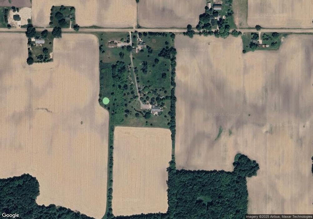
Map
Nearby Homes
- 6157 W Stoll Rd
- 7837 W Grand
- V/L N Grove
- 15250 Nottingham Fields Pkwy
- 15260 Nottingham Fields Pkwy
- 15240 Nottingham Fields Pkwy
- 15332 Sherwood Ln
- 7895 W Herbison Rd
- 15312 Sherwood Ln
- 15292 Sherwood Ln
- 15317 Sherwood Ln
- 15347 Sherwood Ln
- 15277 Sherwood Ln
- 15080 Loxley Ln Unit 21
- 9135 Klein Farm
- 15895 Turnberry St
- Lot 3a Rachael Fairfax Dr
- Lot 1a Rachael Fairfax Dr
- 5754 River Ridge Dr
- 0 Lot C Willow
- 7603 W Stoll Rd
- 7545 W Stoll Rd
- 6700 W Stoll Rd
- 6601 W Stoll Rd
- 7745 W Stoll Rd
- 7716 W Stoll Rd
- 7380 W Stoll Rd
- 7207 W Stoll Rd
- 7345 W Stoll Rd
- 7125 W Stoll Rd
- 7105 W Stoll Rd
- 6811 Winston Ave
- 6901 W Stoll Rd
- 6908 W Stoll Rd
- 14875 Francis Rd
- 14943 Francis Rd
- 6850 Winston Ave
- 14961 Francis Rd
- 15001 Francis Rd
- 14915 Francis Rd