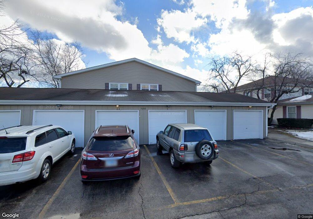
7602 Bristol Ln Unit E Hanover Park, IL 60133
Estimated Value: $195,132 - $358,000
3
Beds
--
Bath
950
Sq Ft
$275/Sq Ft
Est. Value
About This Home
This home is located at 7602 Bristol Ln Unit E, Hanover Park, IL 60133 and is currently estimated at $260,783, approximately $274 per square foot. 7602 Bristol Ln Unit E is a home located in Cook County with nearby schools including Anne Fox Elementary School, Jane Addams Junior High School, and Hoffman Estates High School.
Ownership History
Date
Name
Owned For
Owner Type
Purchase Details
Closed on
Oct 10, 2000
Sold by
Platter Loretta A
Bought by
Platter Loretta A and Platter Barbara
Current Estimated Value
Home Financials for this Owner
Home Financials are based on the most recent Mortgage that was taken out on this home.
Original Mortgage
$35,543
Interest Rate
7.96%
Create a Home Valuation Report for This Property
The Home Valuation Report is an in-depth analysis detailing your home's value as well as a comparison with similar homes in the area
Home Values in the Area
Average Home Value in this Area
Purchase History
| Date | Buyer | Sale Price | Title Company |
|---|---|---|---|
| Platter Loretta A | -- | First American Title |
Source: Public Records
Mortgage History
| Date | Status | Borrower | Loan Amount |
|---|---|---|---|
| Closed | Platter Loretta A | $35,543 |
Source: Public Records
Tax History Compared to Growth
Tax History
| Year | Tax Paid | Tax Assessment Tax Assessment Total Assessment is a certain percentage of the fair market value that is determined by local assessors to be the total taxable value of land and additions on the property. | Land | Improvement |
|---|---|---|---|---|
| 2024 | $2,216 | $12,991 | $1,974 | $11,017 |
| 2023 | $2,086 | $12,991 | $1,974 | $11,017 |
| 2022 | $2,086 | $12,991 | $1,974 | $11,017 |
| 2021 | $1,506 | $9,895 | $1,290 | $8,605 |
| 2020 | $1,506 | $9,895 | $1,290 | $8,605 |
| 2019 | $1,834 | $11,080 | $1,290 | $9,790 |
| 2018 | $0 | $6,678 | $1,063 | $5,615 |
| 2017 | $3,064 | $6,678 | $1,063 | $5,615 |
| 2016 | $128 | $6,678 | $1,063 | $5,615 |
| 2015 | $161 | $4,819 | $987 | $3,832 |
| 2014 | $211 | $4,819 | $987 | $3,832 |
| 2013 | $159 | $4,819 | $987 | $3,832 |
Source: Public Records
Map
Nearby Homes
- 1283 Bristol Ln
- 1307 Kingsbury Dr Unit A
- 1323 Kingsbury Dr Unit 2
- 1316 Kingsbury Dr Unit 1
- 7523 Bristol Ln Unit A
- 7526 Bristol Ln Unit 502
- 7837 Huntington Cir S
- 7873 Asbury Cir S
- 7843 Kensington Ln
- 1105 Stratford Ln
- 7418 Nantucket Cove
- 802 Lexington Cir
- 7138 Edgebrook Ln
- 763 Verandah Dr
- 8138 N Carrolton Ct
- 1648 Linden Ave
- 630 S Walnut Ln
- 7211 Jonquil Terrace
- 1712 Poplar Ave
- 1882 Keystone Place Unit 1882
- 7602 Bristol Ln Unit B
- 7602 Bristol Ln Unit D
- 7602 Bristol Ln Unit C
- 7602 Bristol Ln Unit A
- 7602 Bristol Ln Unit F
- 7603 Bristol Ln Unit B
- 7603 Bristol Ln Unit A
- 7603 Bristol Ln Unit F
- 7603 Bristol Ln Unit D
- 7603 Bristol Ln Unit E
- 7603 Bristol Ln Unit C
- 7601 Bristol Ln Unit D
- 7601 Bristol Ln Unit F
- 7601 Bristol Ln Unit B
- 7601 Bristol Ln Unit A
- 7601 Bristol Ln Unit C
- 7601 Bristol Ln Unit E
- 7608 Bristol Ln Unit D
- 7608 Bristol Ln Unit F
- 7608 Bristol Ln Unit B