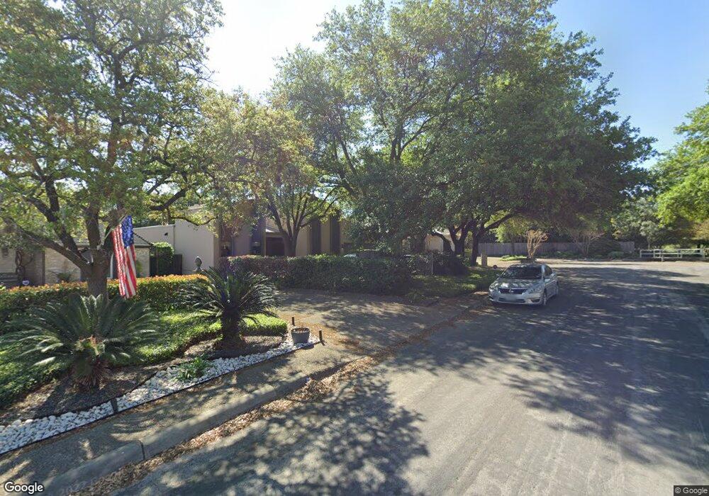
7602 Kim St San Antonio, TX 78209
Oak Park-Northwood NeighborhoodEstimated Value: $619,319 - $706,000
3
Beds
3
Baths
2,776
Sq Ft
$238/Sq Ft
Est. Value
About This Home
This home is located at 7602 Kim St, San Antonio, TX 78209 and is currently estimated at $660,330, approximately $237 per square foot. 7602 Kim St is a home located in Bexar County with nearby schools including Northwood Elementary School, Garner Middle School, and MacArthur High School.
Ownership History
Date
Name
Owned For
Owner Type
Purchase Details
Closed on
Oct 29, 2015
Sold by
Pfullmann Carl and Pfullmann Analise Spalten
Bought by
Roakes Lawrence T and Roakes Martha T
Current Estimated Value
Home Financials for this Owner
Home Financials are based on the most recent Mortgage that was taken out on this home.
Original Mortgage
$279,500
Outstanding Balance
$220,954
Interest Rate
3.94%
Mortgage Type
New Conventional
Estimated Equity
$439,376
Purchase Details
Closed on
Jun 17, 2011
Sold by
Spalten Edward William and Spalten Thomas Alan
Bought by
Pfullmann Carl and Pfullmann Analise Spalten
Home Financials for this Owner
Home Financials are based on the most recent Mortgage that was taken out on this home.
Original Mortgage
$175,000
Interest Rate
4.74%
Mortgage Type
New Conventional
Purchase Details
Closed on
Dec 19, 2008
Sold by
Roegelein Spalten Jr Edward Henry and Roegelein Grace
Bought by
Spalten Edward Henry
Create a Home Valuation Report for This Property
The Home Valuation Report is an in-depth analysis detailing your home's value as well as a comparison with similar homes in the area
Home Values in the Area
Average Home Value in this Area
Purchase History
| Date | Buyer | Sale Price | Title Company |
|---|---|---|---|
| Roakes Lawrence T | -- | Chicago Title | |
| Pfullmann Carl | -- | Alamo Title | |
| Spalten Edward Henry | -- | None Available |
Source: Public Records
Mortgage History
| Date | Status | Borrower | Loan Amount |
|---|---|---|---|
| Open | Roakes Lawrence T | $279,500 | |
| Previous Owner | Pfullmann Carl | $175,000 |
Source: Public Records
Tax History Compared to Growth
Tax History
| Year | Tax Paid | Tax Assessment Tax Assessment Total Assessment is a certain percentage of the fair market value that is determined by local assessors to be the total taxable value of land and additions on the property. | Land | Improvement |
|---|---|---|---|---|
| 2025 | $11,460 | $605,000 | $162,740 | $442,260 |
| 2024 | $11,460 | $605,000 | $162,740 | $442,260 |
| 2023 | $11,460 | $590,000 | $162,740 | $427,260 |
| 2022 | $13,300 | $539,000 | $141,450 | $431,550 |
| 2021 | $12,518 | $490,000 | $123,100 | $366,900 |
| 2020 | $13,069 | $479,000 | $109,170 | $369,830 |
| 2019 | $12,251 | $460,000 | $109,170 | $350,830 |
| 2018 | $12,149 | $455,000 | $87,340 | $367,660 |
| 2017 | $11,911 | $442,000 | $85,299 | $356,701 |
| 2016 | $11,251 | $417,500 | $52,620 | $364,880 |
| 2015 | $9,823 | $390,000 | $52,620 | $337,380 |
| 2014 | $9,823 | $363,330 | $0 | $0 |
Source: Public Records
Map
Nearby Homes
- 530 Burnside Dr
- 446 Forrest Hill Dr
- 510 Burnside Dr
- 7606 N Vandiver Rd
- 510 Woodcrest Dr
- 371 Pike Rd
- 411 Cave Ln
- 210 Laramie Dr
- 419 Woodcrest Dr
- 7238 Seidel Rd
- 2603 Brookhurst Dr
- 351 Northridge Dr
- 7226 N Vandiver Rd
- 622 Cave Ln
- 2822 Knight Robin Dr
- 318 Northridge Dr
- 7114 Bethencourt
- 3011 Sir Phillip Dr
- 315 Tophill Rd
- 623 E Nottingham Dr