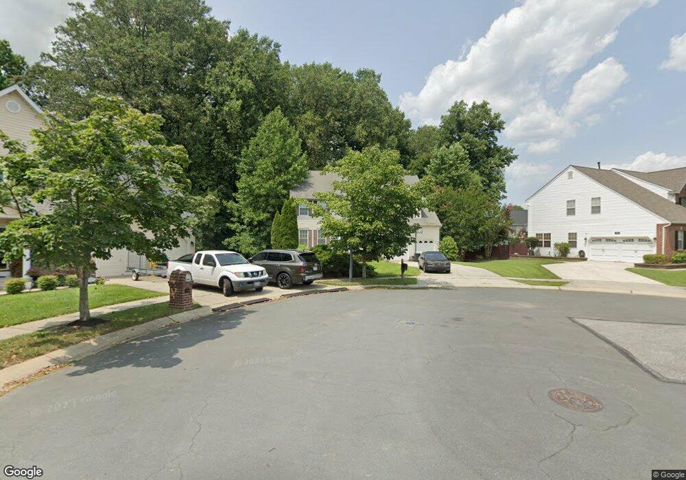
7602 Sharp Ct Severn, MD 21144
Estimated Value: $663,613 - $707,000
Studio
3
Baths
2,562
Sq Ft
$270/Sq Ft
Est. Value
About This Home
This home is located at 7602 Sharp Ct, Severn, MD 21144 and is currently estimated at $691,903, approximately $270 per square foot. 7602 Sharp Ct is a home located in Anne Arundel County with nearby schools including Jessup Elementary School, Meade Middle School, and Meade High School.
Ownership History
Date
Name
Owned For
Owner Type
Purchase Details
Closed on
Mar 16, 2013
Sold by
Brown Metrica C and Herster Metrica C
Bought by
Hester Shaun
Current Estimated Value
Purchase Details
Closed on
Feb 4, 2005
Sold by
Matheny Roger L
Bought by
Hester Shaun A and Hester Metrica C
Home Financials for this Owner
Home Financials are based on the most recent Mortgage that was taken out on this home.
Original Mortgage
$41,000
Interest Rate
5.73%
Mortgage Type
Future Advance Clause Open End Mortgage
Purchase Details
Closed on
Dec 16, 2004
Sold by
Matheny Roger L
Bought by
Hester Shaun A and Hester Metrica C
Home Financials for this Owner
Home Financials are based on the most recent Mortgage that was taken out on this home.
Original Mortgage
$41,000
Interest Rate
5.73%
Mortgage Type
Future Advance Clause Open End Mortgage
Create a Home Valuation Report for This Property
The Home Valuation Report is an in-depth analysis detailing your home's value as well as a comparison with similar homes in the area
Home Values in the Area
Average Home Value in this Area
Purchase History
| Date | Buyer | Sale Price | Title Company |
|---|---|---|---|
| Hester Shaun | -- | None Available | |
| Hester Shaun A | $504,900 | -- | |
| Hester Shaun A | $504,900 | -- |
Source: Public Records
Mortgage History
| Date | Status | Borrower | Loan Amount |
|---|---|---|---|
| Previous Owner | Hester Shaun A | $41,000 | |
| Previous Owner | Hester Shaun A | $403,920 | |
| Previous Owner | Hester Shaun A | $403,920 |
Source: Public Records
Tax History
| Year | Tax Paid | Tax Assessment Tax Assessment Total Assessment is a certain percentage of the fair market value that is determined by local assessors to be the total taxable value of land and additions on the property. | Land | Improvement |
|---|---|---|---|---|
| 2025 | $5,525 | $541,200 | $209,700 | $331,500 |
| 2024 | $5,525 | $514,100 | $0 | $0 |
| 2023 | $5,366 | $487,000 | $0 | $0 |
| 2022 | $5,002 | $459,900 | $184,700 | $275,200 |
| 2020 | $4,780 | $436,633 | $0 | $0 |
| 2019 | $4,694 | $425,000 | $159,200 | $265,800 |
| 2018 | $4,178 | $412,033 | $0 | $0 |
| 2017 | $4,402 | $399,067 | $0 | $0 |
| 2016 | -- | $386,100 | $0 | $0 |
| 2015 | -- | $386,100 | $0 | $0 |
| 2014 | -- | $386,100 | $0 | $0 |
Source: Public Records
Map
Nearby Homes
- 7700 W Evanston Ct
- 7967 Citadel Dr
- 7926 Tower Court Rd
- 1842 Statesman Ct
- 7899 Bastille Place
- 1799 Cruet Ln
- 8221 Meadowood Dr
- 8238 Saint Francis Dr
- 2003 Twisted Oak Place
- 1883 Cedar Dr
- 2005 Twisted Oak Place
- 2007 Twisted Oak Place
- 8241 Saint Francis Dr
- 1917 Pometacom Dr
- 1914 Wamsutta Ln
- 1313 Grand Canopy Dr
- 7818 Metacomet Rd
- 7836 Canter Ct
- 1814 Watch House Cir N
- 7993 Heather Mist Dr Unit 90
- 7604 Sharp Ct
- 7600 Sharp Ct
- 7603 W Glenshire Ct
- 7601 W Glenshire Ct
- 7601 Sharp Ct
- 1865 Disney Estates Cir
- 7603 Sharp Ct
- 1867 Disney Estates Cir
- 1861 Disney Estates Cir
- 7600 W Glenshire Ct
- 7605 E Glenshire Ct
- 1863 Disney Estates Cir
- 7602 W Glenshire Ct
- 1869 Disney Estates Cir
- 7702 W Evanston Ct
- 1866 Disney Estates Cir
- 7604 E Glenshire Ct
- 7603 Garrison Ct
- 7825 Stanley Ln
- 7704 W Evanston Ct
Your Personal Tour Guide
Ask me questions while you tour the home.