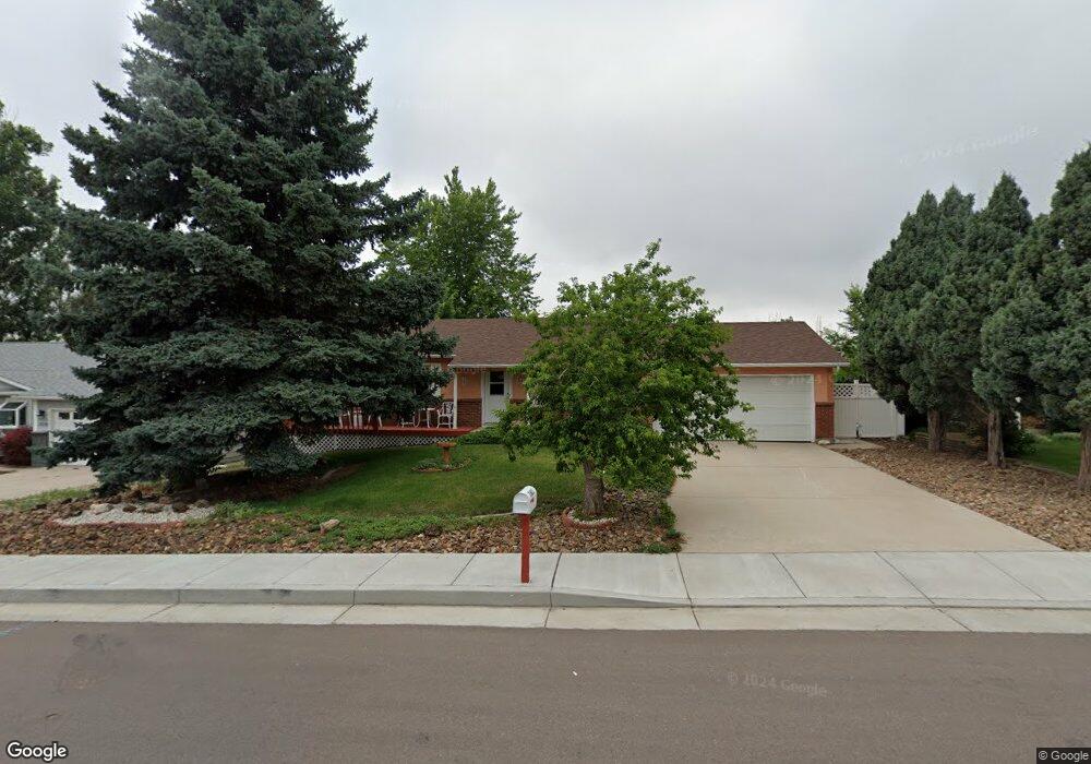
7602 Stampede Dr Colorado Springs, CO 80920
Falcon Estates NeighborhoodEstimated Value: $387,000 - $412,000
2
Beds
2
Baths
1,066
Sq Ft
$375/Sq Ft
Est. Value
About This Home
This home is located at 7602 Stampede Dr, Colorado Springs, CO 80920 and is currently estimated at $399,712, approximately $374 per square foot. 7602 Stampede Dr is a home located in El Paso County with nearby schools including High Plains Elementary School, Mountain Ridge Middle School, and Rampart High School.
Ownership History
Date
Name
Owned For
Owner Type
Purchase Details
Closed on
Aug 20, 2024
Sold by
Stroup Cindy
Bought by
Cynthia L Stroup Living Trust
Current Estimated Value
Purchase Details
Closed on
Dec 6, 1993
Sold by
Brack Cynthia Louise
Bought by
Stroup Cindy
Home Financials for this Owner
Home Financials are based on the most recent Mortgage that was taken out on this home.
Original Mortgage
$60,400
Interest Rate
6.86%
Purchase Details
Closed on
Mar 1, 1985
Bought by
Stroup Cindy
Purchase Details
Closed on
Jun 1, 1984
Bought by
Stroup Cindy
Purchase Details
Closed on
Sep 1, 1981
Bought by
Stroup Cindy
Create a Home Valuation Report for This Property
The Home Valuation Report is an in-depth analysis detailing your home's value as well as a comparison with similar homes in the area
Home Values in the Area
Average Home Value in this Area
Purchase History
| Date | Buyer | Sale Price | Title Company |
|---|---|---|---|
| Cynthia L Stroup Living Trust | -- | None Listed On Document | |
| Stroup Cindy | -- | -- | |
| Stroup Cindy | -- | -- | |
| Stroup Cindy | -- | -- | |
| Stroup Cindy | -- | -- |
Source: Public Records
Mortgage History
| Date | Status | Borrower | Loan Amount |
|---|---|---|---|
| Previous Owner | Stroup Cindy | $60,400 |
Source: Public Records
Tax History Compared to Growth
Tax History
| Year | Tax Paid | Tax Assessment Tax Assessment Total Assessment is a certain percentage of the fair market value that is determined by local assessors to be the total taxable value of land and additions on the property. | Land | Improvement |
|---|---|---|---|---|
| 2025 | $1,563 | $28,840 | -- | -- |
| 2024 | $1,095 | $30,010 | $5,360 | $24,650 |
| 2022 | $910 | $20,700 | $4,340 | $16,360 |
| 2021 | $1,011 | $21,300 | $4,460 | $16,840 |
| 2020 | $885 | $18,640 | $3,720 | $14,920 |
| 2019 | $1,420 | $18,640 | $3,720 | $14,920 |
| 2018 | $1,119 | $14,440 | $2,880 | $11,560 |
| 2017 | $1,115 | $14,440 | $2,880 | $11,560 |
| 2016 | $1,096 | $14,170 | $2,930 | $11,240 |
| 2015 | $1,093 | $14,170 | $2,930 | $11,240 |
| 2014 | $1,022 | $13,240 | $2,930 | $10,310 |
Source: Public Records
Map
Nearby Homes
- 2110 Whitehorn Dr N
- 1884 Fuller Rd
- 1907 Independence Dr
- 1880 Independence Dr
- 1932 Silkwood Dr
- 2650 Bannister Ct
- 2068 Silkwood Dr
- 2512 Elite Terrace
- 8146 Horizon Dr
- 2006 Summerset Dr
- 8161 Regiment Ct
- 2615 Thrush Grove
- 2114 Summerset Dr
- 7849 Flicker Grove
- 2546 Hatch Cir
- 2661 Hatch Cir
- 2570 Hatch Cir
- 6881 Los Reyes Cir
- 2579 Hatch Cir
- 6872 Los Reyes Cir
- 7612 Stampede Dr
- 7590 Stampede Dr
- 7655 Bell Dr
- 7649 Bell Dr
- 7622 Stampede Dr
- 7661 Bell Dr
- 7580 Stampede Dr
- 7641 Bell Dr
- 7607 Stampede Dr
- 7613 Stampede Dr
- 7669 Bell Dr
- 7581 Stampede Dr
- 7632 Stampede Dr
- 7570 Stampede Dr
- 7623 Stampede Dr
- 7625 Bell Dr
- 7675 Being Verified Dr
- 7675 Bell Dr
- 7648 Bell Dr
- 7557 Stampede Dr