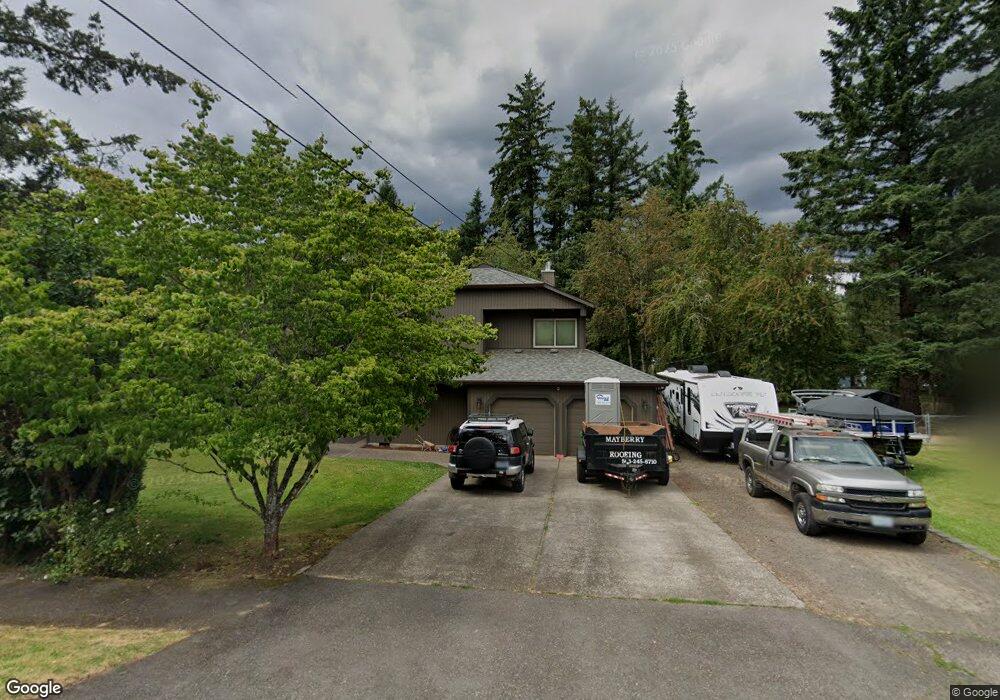
7603 SW Locust St Portland, OR 97223
Estimated Value: $663,000 - $800,000
3
Beds
3
Baths
2,731
Sq Ft
$272/Sq Ft
Est. Value
About This Home
This home is located at 7603 SW Locust St, Portland, OR 97223 and is currently estimated at $741,698, approximately $271 per square foot. 7603 SW Locust St is a home located in Washington County with nearby schools including Metzger Elementary School, Thomas R. Fowler Middle School, and Tigard High School.
Ownership History
Date
Name
Owned For
Owner Type
Purchase Details
Closed on
Feb 20, 2014
Sold by
Mayberry Darbie A
Bought by
Mayberry Darbie A and Digman Carol J
Current Estimated Value
Purchase Details
Closed on
Jan 16, 2002
Sold by
Mayberry Steve and Mayberry Darbie A
Bought by
Mayberry Steve W and Mayberry Darbie A
Home Financials for this Owner
Home Financials are based on the most recent Mortgage that was taken out on this home.
Original Mortgage
$145,000
Interest Rate
6.84%
Create a Home Valuation Report for This Property
The Home Valuation Report is an in-depth analysis detailing your home's value as well as a comparison with similar homes in the area
Home Values in the Area
Average Home Value in this Area
Purchase History
| Date | Buyer | Sale Price | Title Company |
|---|---|---|---|
| Mayberry Darbie A | -- | None Available | |
| Mayberry Steve W | -- | First American |
Source: Public Records
Mortgage History
| Date | Status | Borrower | Loan Amount |
|---|---|---|---|
| Previous Owner | Mayberry Steve W | $145,000 |
Source: Public Records
Tax History Compared to Growth
Tax History
| Year | Tax Paid | Tax Assessment Tax Assessment Total Assessment is a certain percentage of the fair market value that is determined by local assessors to be the total taxable value of land and additions on the property. | Land | Improvement |
|---|---|---|---|---|
| 2026 | $6,842 | $443,280 | -- | -- |
| 2025 | $6,842 | $430,370 | -- | -- |
| 2024 | $6,611 | $417,840 | -- | -- |
| 2023 | $6,611 | $405,670 | $0 | $0 |
| 2022 | $6,363 | $405,670 | $0 | $0 |
| 2021 | $6,206 | $382,390 | $0 | $0 |
| 2020 | $6,025 | $371,260 | $0 | $0 |
| 2019 | $5,861 | $360,450 | $0 | $0 |
| 2018 | $5,593 | $349,960 | $0 | $0 |
| 2017 | $5,387 | $339,770 | $0 | $0 |
| 2016 | $5,129 | $329,880 | $0 | $0 |
| 2015 | $4,832 | $320,280 | $0 | $0 |
| 2014 | $4,653 | $310,960 | $0 | $0 |
Source: Public Records
Map
Nearby Homes
- 7402 SW Locust St
- 10125 SW 72nd Ave
- 7830 SW Hemlock St
- 10022 SW 72nd Ave
- 10534 SW 80th Ave
- 7333 SW Pine St
- 10200 SW 70th Ave
- 8026 SW Pine St
- 9825 SW Ventura Ct
- 10900 SW 76th Place Unit 43
- 10900 SW 76th Place Unit 46
- 10910 SW 74th Ave
- 11047 SW Legacy Oak Way
- 7849 SW Birch St
- 10470 SW 67th Ave
- 7480 SW Taylors Ferry Rd
- 9335 SW 69th Ave
- 7080 SW Taylors Ferry Rd
- 10420 SW Akilean Terrace
- 10442 SW Akilean Terrace Unit 43
- 7611 SW Locust St
- 7565 SW Locust Ave
- 7565 SW Locust St
- 7619 SW Locust St
- 10080 SW 77th Ave
- 7594 SW Locust St
- 7614 SW Locust St
- 7509 SW Locust St
- 10067 SW 75th Ave
- 10040 SW 77th Ave
- 7580 SW Locust St
- 10045 SW 75th Ave
- 7576 SW Landau St
- 7606 SW Locust St
- 10180 SW 77th Ave
- 7501 SW Locust St
- 7618 SW Locust St
- 7538 SW Locust St
- 7548 SW Landau St
- 10203 SW 75th Ave