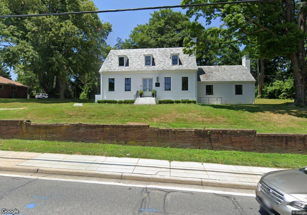
7604 York Rd Towson, MD 21204
Estimated Value: $636,000 - $722,000
--
Bed
1
Bath
2,362
Sq Ft
$283/Sq Ft
Est. Value
About This Home
This home is located at 7604 York Rd, Towson, MD 21204 and is currently estimated at $667,301, approximately $282 per square foot. 7604 York Rd is a home located in Baltimore County with nearby schools including West Towson Elementary School, Dumbarton Middle School, and Towson High Law & Public Policy.
Ownership History
Date
Name
Owned For
Owner Type
Purchase Details
Closed on
Jan 14, 2019
Sold by
7604 Llc
Bought by
Sgi Llc
Current Estimated Value
Home Financials for this Owner
Home Financials are based on the most recent Mortgage that was taken out on this home.
Original Mortgage
$356,000
Outstanding Balance
$313,629
Interest Rate
4.7%
Mortgage Type
Commercial
Estimated Equity
$353,672
Purchase Details
Closed on
Apr 5, 2001
Sold by
Evan Lutheran Syn Of St Of Md
Bought by
7604 Llc
Create a Home Valuation Report for This Property
The Home Valuation Report is an in-depth analysis detailing your home's value as well as a comparison with similar homes in the area
Home Values in the Area
Average Home Value in this Area
Purchase History
| Date | Buyer | Sale Price | Title Company |
|---|---|---|---|
| Sgi Llc | $445,000 | Now Wiord Title Co | |
| 7604 Llc | $251,500 | -- |
Source: Public Records
Mortgage History
| Date | Status | Borrower | Loan Amount |
|---|---|---|---|
| Open | Sgi Llc | $356,000 |
Source: Public Records
Tax History Compared to Growth
Tax History
| Year | Tax Paid | Tax Assessment Tax Assessment Total Assessment is a certain percentage of the fair market value that is determined by local assessors to be the total taxable value of land and additions on the property. | Land | Improvement |
|---|---|---|---|---|
| 2025 | $6,792 | $520,100 | $166,200 | $353,900 |
| 2024 | $6,792 | $489,467 | $0 | $0 |
| 2023 | $6,435 | $458,833 | $0 | $0 |
| 2022 | $5,978 | $428,200 | $136,600 | $291,600 |
| 2021 | $2,816 | $402,300 | $0 | $0 |
| 2020 | $4,562 | $376,400 | $0 | $0 |
| 2019 | $4,248 | $350,500 | $136,600 | $213,900 |
| 2018 | $4,837 | $346,300 | $0 | $0 |
| 2017 | $4,564 | $342,100 | $0 | $0 |
| 2016 | $4,773 | $337,900 | $0 | $0 |
| 2015 | $4,773 | $337,900 | $0 | $0 |
| 2014 | $4,773 | $337,900 | $0 | $0 |
Source: Public Records
Map
Nearby Homes
- 517 Worcester Rd
- 612 Coventry Rd
- 625 Yarmouth Rd
- 425 Rodgers Ct
- 418 Chumleigh Rd
- 324 Stanmore Rd
- 63 Burkshire Rd
- 421 Regester Ave
- 500 Fairway Ct
- 28 Stone Ridge Ct
- 7512 Far Hills Dr
- 112 E Burke Ave
- 117 Glen Argyle Rd
- 12 Stone Ridge Ct
- 908 Stevenson Ln
- 212 E Burke Ave
- 664 Regester Ave
- 104 Willow Ave
- 130 Dumbarton Rd
- 223 Dunkirk Rd
- 101 Yorkleigh Rd
- 500 Worcester Rd
- 2 Cedar Ave
- 7601 Osler Dr
- 7702 York Rd
- 7601 York Rd
- 100 Yorkleigh Rd
- 102 Yorkleigh Rd
- 502 Worcester Rd
- 5 Cedar Ave
- 4 Cedar Ave
- 104 Yorkleigh Rd
- 7700 York Rd
- 503 Worcester Rd
- 107 Yorkleigh Rd
- 500 Yarmouth Rd
- 101 La Paix Ln
- 7704 York Rd
- 6 Cedar Ave Unit 2
- 6 Cedar Ave Unit 1