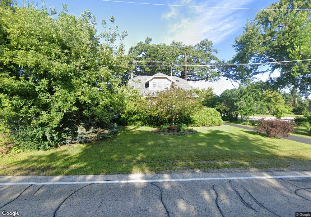
7605 Blivin St Spring Grove, IL 60081
Estimated Value: $224,261 - $349,000
--
Bed
--
Bath
1,624
Sq Ft
$170/Sq Ft
Est. Value
About This Home
This home is located at 7605 Blivin St, Spring Grove, IL 60081 and is currently estimated at $275,565, approximately $169 per square foot. 7605 Blivin St is a home located in McHenry County with nearby schools including Spring Grove Elementary School, Nippersink Middle School, and Richmond-Burton High School.
Ownership History
Date
Name
Owned For
Owner Type
Purchase Details
Closed on
Jul 29, 1994
Sold by
Wood Duane H and Wood Shirley A
Bought by
Flicek Randy G and Flicek Debra E
Current Estimated Value
Home Financials for this Owner
Home Financials are based on the most recent Mortgage that was taken out on this home.
Original Mortgage
$130,675
Interest Rate
8.62%
Mortgage Type
FHA
Create a Home Valuation Report for This Property
The Home Valuation Report is an in-depth analysis detailing your home's value as well as a comparison with similar homes in the area
Home Values in the Area
Average Home Value in this Area
Purchase History
| Date | Buyer | Sale Price | Title Company |
|---|---|---|---|
| Flicek Randy G | $132,500 | Blackhawk Title Services Inc |
Source: Public Records
Mortgage History
| Date | Status | Borrower | Loan Amount |
|---|---|---|---|
| Closed | Flicek Randy G | $130,675 |
Source: Public Records
Tax History Compared to Growth
Tax History
| Year | Tax Paid | Tax Assessment Tax Assessment Total Assessment is a certain percentage of the fair market value that is determined by local assessors to be the total taxable value of land and additions on the property. | Land | Improvement |
|---|---|---|---|---|
| 2024 | $3,822 | $65,979 | $16,547 | $49,432 |
| 2023 | $3,624 | $60,316 | $15,127 | $45,189 |
| 2022 | $3,751 | $54,310 | $13,621 | $40,689 |
| 2021 | $3,815 | $52,126 | $13,073 | $39,053 |
| 2020 | $3,950 | $50,155 | $12,579 | $37,576 |
| 2019 | $3,451 | $48,544 | $12,175 | $36,369 |
| 2018 | $3,657 | $46,538 | $11,672 | $34,866 |
| 2017 | $3,802 | $44,318 | $11,115 | $33,203 |
| 2016 | $3,834 | $41,551 | $10,421 | $31,130 |
| 2013 | -- | $39,286 | $9,853 | $29,433 |
Source: Public Records
Map
Nearby Homes
- 1992 Red Oak Ln
- 1996 Red Oak Ln
- LOT 9 Mayo Ct
- 1876 Red Oak Ln
- 2003 Red Oak Ln
- 7397 English Oak Ln
- Lot 36 Red Oak Ln
- LOT 40 Red Oak Ln
- 7393 English Oak Ln
- 7392 English Oak Ln
- 7389 English Oak Ln
- 1979 Red Oak Ln
- 7388 English Oak Ln
- 7381 English Oak Ln
- 7377 English Oak Ln
- 1975 Red Oak Ln
- 1971 Red Oak Ln
- 7373 English Oak Ln
- 1852 Red Oak Ln
- 7369 English Oak Ln
- 2150 N Us Highway 12
- 2112 Westward Dr
- 2020 N Us Highway 12
- 2020 N Us Highway 12 Unit A
- 2020 N Us Highway 12
- 2020 N Us Highway 12 Unit A
- 2207 N Us Highway 12 Unit G
- 2207 N Us Highway 12 Unit BGHIJ
- 2207 N Us Highway 12 Unit F
- 2207 N Us Highway 12 Unit B
- 2207 N Us Highway 12 Unit HIJ
- 2207 N Us Highway 12 Unit BGHIJ
- 2207 N Us Highway 12 Unit B
- 2207 N Us Highway 12 Unit F
- 2207 N Us Highway 12 Unit HIJ
- 2116 Westward Dr
- 7615 Blivin St
- 2215 N Us Highway 12
- 2202 Westward Dr
- 2020 Rt 12 Unit A