7605 NE 251st St Battle Ground, WA 98604
Estimated Value: $468,000 - $564,000
3
Beds
1
Bath
1,324
Sq Ft
$390/Sq Ft
Est. Value
About This Home
This home is located at 7605 NE 251st St, Battle Ground, WA 98604 and is currently estimated at $516,240, approximately $389 per square foot. 7605 NE 251st St is a home located in Clark County with nearby schools including Daybreak Primary School, Daybreak Middle School, and Prairie High School.
Ownership History
Date
Name
Owned For
Owner Type
Purchase Details
Closed on
Feb 17, 2021
Sold by
Lloyd J D J and Lloyd Elaine B
Bought by
J D Lloyd Jr And Elaine Berniece Lloyd Revoca and Lloyd
Current Estimated Value
Purchase Details
Closed on
Jan 22, 2021
Sold by
Lloyd J D J and Lloyd Elaine B
Bought by
Lloyd J D J and Lloyd Elaine Berniece
Purchase Details
Closed on
Aug 29, 2006
Sold by
Lloyd J D
Bought by
Lloyd J D and Lloyd Dawn
Home Financials for this Owner
Home Financials are based on the most recent Mortgage that was taken out on this home.
Original Mortgage
$130,000
Interest Rate
6.51%
Mortgage Type
New Conventional
Create a Home Valuation Report for This Property
The Home Valuation Report is an in-depth analysis detailing your home's value as well as a comparison with similar homes in the area
Home Values in the Area
Average Home Value in this Area
Purchase History
| Date | Buyer | Sale Price | Title Company |
|---|---|---|---|
| J D Lloyd Jr And Elaine Berniece Lloyd Revoca | -- | None Listed On Document | |
| Lloyd J D J | -- | None Available | |
| Lloyd J D J | -- | None Available | |
| Lloyd J D | -- | First American Title |
Source: Public Records
Mortgage History
| Date | Status | Borrower | Loan Amount |
|---|---|---|---|
| Previous Owner | Lloyd J D | $130,000 |
Source: Public Records
Tax History Compared to Growth
Tax History
| Year | Tax Paid | Tax Assessment Tax Assessment Total Assessment is a certain percentage of the fair market value that is determined by local assessors to be the total taxable value of land and additions on the property. | Land | Improvement |
|---|---|---|---|---|
| 2025 | $3,697 | $442,274 | $235,800 | $206,474 |
| 2024 | $3,414 | $415,478 | $235,800 | $179,678 |
| 2023 | $3,517 | $433,736 | $240,000 | $193,736 |
| 2022 | $3,441 | $409,252 | $194,800 | $214,452 |
| 2021 | $3,238 | $371,917 | $190,000 | $181,917 |
| 2020 | $3,269 | $319,300 | $166,000 | $153,300 |
| 2019 | $2,700 | $316,258 | $168,400 | $147,858 |
| 2018 | $3,296 | $298,603 | $0 | $0 |
| 2017 | $2,625 | $279,139 | $0 | $0 |
| 2016 | $2,535 | $240,814 | $0 | $0 |
| 2015 | $2,491 | $214,239 | $0 | $0 |
| 2014 | -- | $200,515 | $0 | $0 |
| 2013 | -- | $175,204 | $0 | $0 |
Source: Public Records
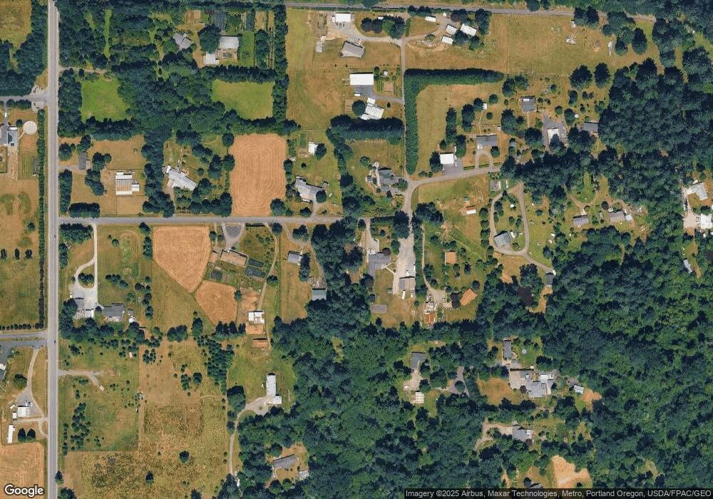
Map
Nearby Homes
- 26619 NE 77th Ave
- 23422 NE 72nd Ave
- 23001 NE 82nd Ave
- 23615 NE 92nd Ave
- 9606 NE 255th Cir
- 23403 NE 92nd Ave
- 8110 NE 272nd Cir
- 7003 NE 279th St
- 1410 NW 30th Ave
- 28108 NE 82nd Ave
- 2812 NW 14th St
- 1718 NW 25th Ave
- 1523 NW 25th Ave
- 151 NW 30th Ave
- 1210 NW 24th Ave
- 11200 NE Gren Fels Dr
- 27203 NE 103rd Ave
- 810 NW 25th Ave
- 2401 NW 10th Way
- 344 NW 29th Way
- 7611 NE 251st St
- 7509 NE 251st St
- 7705 NE 252nd St
- 24804 NE Stegert Dr
- 25106 NE 77th Ave
- 7600 NE 251st St
- 24719 NE 74th Ct
- 7405 NE 251st St
- 7811 NE 252nd St
- 7800 NE 252nd St
- 7318 NE 251st St
- 25204 NE 77th Ave
- 24809 NE Stegert Dr
- 24715 NE Stegert Dr
- 7907 NE 252nd St
- 7910 NE 252nd St
- 7215 NE 251st St
- 25312 NE 77th Ave
- 25117 NE 72nd Ave
- 8105 NE 252nd St