7606 Teal Rd Oscoda, MI 48750
Estimated Value: $228,000 - $311,000
3
Beds
2
Baths
936
Sq Ft
$290/Sq Ft
Est. Value
About This Home
This home is located at 7606 Teal Rd, Oscoda, MI 48750 and is currently estimated at $271,358, approximately $289 per square foot. 7606 Teal Rd is a home located in Iosco County with nearby schools including Richardson Elementary School and Oscoda Area High School.
Ownership History
Date
Name
Owned For
Owner Type
Purchase Details
Closed on
Jul 13, 2012
Sold by
Bongiorno James F and Bongiorno Cheryl A
Bought by
Reed Shanna R
Current Estimated Value
Home Financials for this Owner
Home Financials are based on the most recent Mortgage that was taken out on this home.
Original Mortgage
$95,200
Outstanding Balance
$65,902
Interest Rate
3.73%
Estimated Equity
$205,456
Purchase Details
Closed on
Apr 30, 2009
Sold by
Bongiorno Vincent J and Bongiorno Joanne
Bought by
Bongiorno James F
Create a Home Valuation Report for This Property
The Home Valuation Report is an in-depth analysis detailing your home's value as well as a comparison with similar homes in the area
Home Values in the Area
Average Home Value in this Area
Purchase History
| Date | Buyer | Sale Price | Title Company |
|---|---|---|---|
| Reed Shanna R | $119,000 | -- | |
| Bongiorno James F | -- | -- |
Source: Public Records
Mortgage History
| Date | Status | Borrower | Loan Amount |
|---|---|---|---|
| Open | Reed Shanna R | $95,200 |
Source: Public Records
Tax History Compared to Growth
Tax History
| Year | Tax Paid | Tax Assessment Tax Assessment Total Assessment is a certain percentage of the fair market value that is determined by local assessors to be the total taxable value of land and additions on the property. | Land | Improvement |
|---|---|---|---|---|
| 2025 | $3,338 | $125,000 | $125,000 | $0 |
| 2024 | $3,335 | $111,700 | $0 | $0 |
| 2023 | $2,137 | $85,600 | $85,600 | $0 |
| 2022 | $3,142 | $73,900 | $73,900 | $0 |
| 2021 | $3,051 | $68,600 | $68,600 | $0 |
| 2020 | $1,836 | $66,200 | $66,200 | $0 |
| 2019 | $1,684 | $62,300 | $62,300 | $0 |
| 2018 | $1,653 | $65,800 | $65,800 | $0 |
| 2017 | $1,477 | $58,600 | $58,600 | $0 |
| 2016 | $1,426 | $58,600 | $0 | $0 |
| 2015 | -- | $58,600 | $0 | $0 |
| 2014 | -- | $61,400 | $0 | $0 |
| 2013 | -- | $62,400 | $0 | $0 |
Source: Public Records
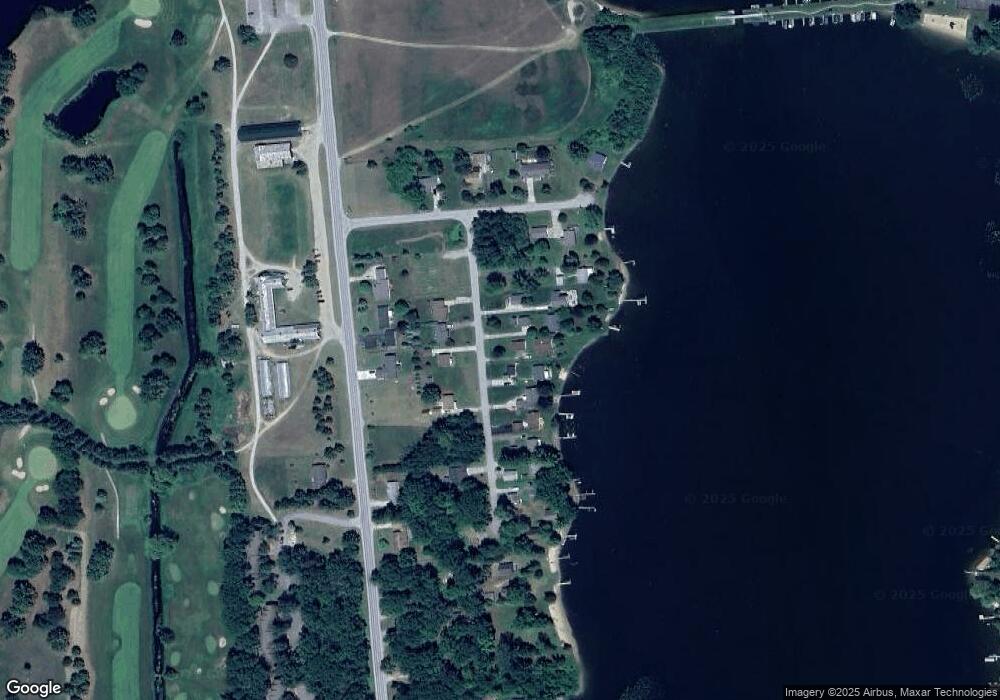
Map
Nearby Homes
- 7270 Shoreview Dr
- 0 Concord Dr Unit 131-32 1936588
- 7503 Westwood Dr
- 7936 E Cedar Lake Dr
- 7948 E Cedar Lake Dr
- 0 Sherwood Dr Unit Cedar Brook Dr
- 7880 W Cedar Lake Rd
- Lot 694 Huntington Dr
- 00 Pine Tree Trail
- 0 Westwood Dr Unit 22909411
- 0 Westwood Dr Unit 22909409
- 0 Westwood Dr Unit 1928286
- 7562 N Us Highway 23
- V/L Lakewood Dr Unit 309
- 7433 N Us Highway 23 Unit 7432 N US-23
- Lot 466 Tanglewood Dr
- 7134 Cedar Lake Rd
- Lot 876 Cedar Brook Dr
- 7036 Woodlea Rd W
- 6997 Woodlea Rd W