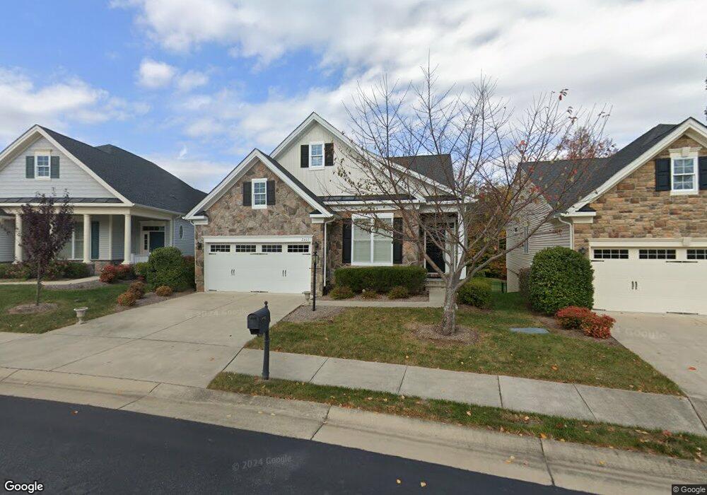
7607 Lees Command Blvd Fredericksburg, VA 22407
Chancellor NeighborhoodEstimated Value: $589,000 - $712,000
4
Beds
4
Baths
3,002
Sq Ft
$222/Sq Ft
Est. Value
About This Home
This home is located at 7607 Lees Command Blvd, Fredericksburg, VA 22407 and is currently estimated at $665,581, approximately $221 per square foot. 7607 Lees Command Blvd is a home located in Spotsylvania County with nearby schools including Chancellor Elementary School, Chancellor Middle School, and Riverbend High School.
Ownership History
Date
Name
Owned For
Owner Type
Purchase Details
Closed on
Mar 14, 2022
Sold by
Nvr Inc
Bought by
Vinson Timothy R and Vinson Yvonne M
Current Estimated Value
Purchase Details
Closed on
Sep 11, 2014
Sold by
Toll Land X Lp
Bought by
Compel John J
Home Financials for this Owner
Home Financials are based on the most recent Mortgage that was taken out on this home.
Original Mortgage
$175,000
Interest Rate
4.12%
Mortgage Type
New Conventional
Create a Home Valuation Report for This Property
The Home Valuation Report is an in-depth analysis detailing your home's value as well as a comparison with similar homes in the area
Home Values in the Area
Average Home Value in this Area
Purchase History
| Date | Buyer | Sale Price | Title Company |
|---|---|---|---|
| Vinson Timothy R | $408,060 | Winn Benjamin C | |
| Compel John J | $484,239 | -- |
Source: Public Records
Mortgage History
| Date | Status | Borrower | Loan Amount |
|---|---|---|---|
| Previous Owner | Compel John J | $175,000 |
Source: Public Records
Tax History
| Year | Tax Paid | Tax Assessment Tax Assessment Total Assessment is a certain percentage of the fair market value that is determined by local assessors to be the total taxable value of land and additions on the property. | Land | Improvement |
|---|---|---|---|---|
| 2025 | $4,838 | $658,800 | $125,000 | $533,800 |
| 2024 | $4,838 | $658,800 | $125,000 | $533,800 |
| 2023 | $4,165 | $539,700 | $115,000 | $424,700 |
| 2022 | $3,981 | $539,700 | $115,000 | $424,700 |
| 2021 | $4,444 | $549,100 | $95,000 | $454,100 |
| 2020 | $4,444 | $549,100 | $95,000 | $454,100 |
| 2019 | $3,973 | $468,900 | $90,000 | $378,900 |
| 2018 | $3,906 | $468,900 | $90,000 | $378,900 |
| 2017 | $4,094 | $481,600 | $85,000 | $396,600 |
| 2016 | $4,094 | $481,600 | $85,000 | $396,600 |
| 2015 | -- | $369,400 | $85,000 | $284,400 |
| 2014 | -- | $85,000 | $85,000 | $0 |
Source: Public Records
Map
Nearby Homes
- 7911 Burbank Ave
- 7910 Burbank Ave
- 7905 Burbank Ave
- 7418 Brentford Terrace
- 7102 Eckert Ct
- 7009 Haskell Ct
- 12103 Andora Dr
- 12006 Stonehenge Dr
- 12018 Teeside Dr
- 7415 Sterling Dr
- 12905 Spotswood Furnace Rd
- 13000 Mullins Ct
- 12008 Andora Dr
- 12537 Josephine Ln
- 11515 Chalmers Ln
- 12507 Josephine Ln
- 11513 Chalmers Ln
- 7404 Jake Ct
- 11511 Chalmers Ln
- 11507 Chalmers Ln
- 7609 Lees Command Blvd
- 7605 Lees Command Blvd
- 7611 Lees Command Blvd
- 8003 Burbank Ave
- 8005 Burbank Ave
- 7919 Burbank Ave
- 12700 Cavalryman Ct
- 12610 Burbank Ct
- 8007 Burbank Ave
- 7917 Burbank Ave
- 7518 Lees Command Blvd
- 12702 Cavalryman Ct
- 8002 Burbank Ave
- 8004 Burbank Ave
- 12704 Cavalryman Ct
- 12608 Burbank Ct
- 7516 Lees Command Blvd
- 8009 Burbank Ave
- 8006 Burbank Ave
- 7915 Burbank Ave
Your Personal Tour Guide
Ask me questions while you tour the home.