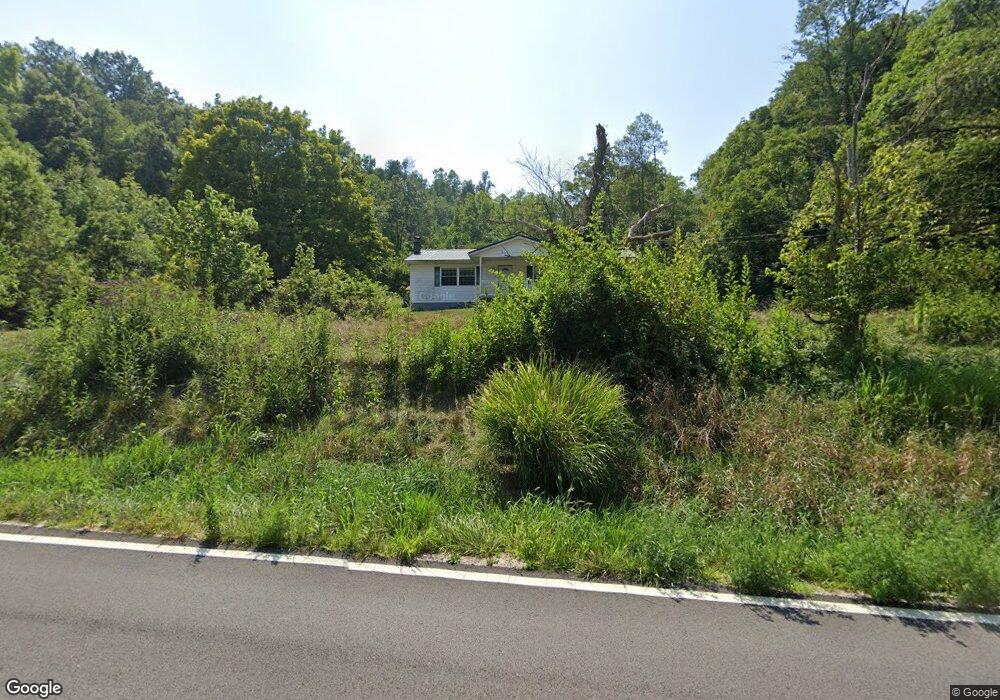
7607 State Route 775 Scottown, OH 45678
Estimated Value: $98,000 - $203,000
3
Beds
2
Baths
1,056
Sq Ft
$149/Sq Ft
Est. Value
About This Home
This home is located at 7607 State Route 775, Scottown, OH 45678 and is currently estimated at $157,641, approximately $149 per square foot. 7607 State Route 775 is a home located in Lawrence County with nearby schools including Symmes Valley Elementary School and Symmes Valley High School.
Ownership History
Date
Name
Owned For
Owner Type
Purchase Details
Closed on
Jun 26, 2024
Sold by
Bowen Reva L
Bought by
Baldwin Austin and Baldwin Lindsey
Current Estimated Value
Purchase Details
Closed on
Jan 1, 1987
Bought by
Bowen Bernard W and Bowen Reva
Create a Home Valuation Report for This Property
The Home Valuation Report is an in-depth analysis detailing your home's value as well as a comparison with similar homes in the area
Home Values in the Area
Average Home Value in this Area
Purchase History
| Date | Buyer | Sale Price | Title Company |
|---|---|---|---|
| Baldwin Austin | $120,100 | None Listed On Document | |
| Bowen Bernard W | -- | -- |
Source: Public Records
Tax History Compared to Growth
Tax History
| Year | Tax Paid | Tax Assessment Tax Assessment Total Assessment is a certain percentage of the fair market value that is determined by local assessors to be the total taxable value of land and additions on the property. | Land | Improvement |
|---|---|---|---|---|
| 2024 | -- | $38,250 | $11,870 | $26,380 |
| 2023 | $1,100 | $38,250 | $11,870 | $26,380 |
| 2022 | $1,099 | $38,510 | $12,130 | $26,380 |
| 2021 | $1,010 | $35,150 | $9,540 | $25,610 |
| 2020 | $775 | $35,150 | $9,540 | $25,610 |
| 2019 | $814 | $35,150 | $9,540 | $25,610 |
| 2018 | $796 | $34,310 | $9,350 | $24,960 |
| 2017 | $796 | $34,310 | $9,350 | $24,960 |
| 2016 | $738 | $34,310 | $9,350 | $24,960 |
| 2015 | $617 | $29,790 | $9,330 | $20,460 |
| 2014 | $617 | $29,790 | $9,330 | $20,460 |
| 2013 | $616 | $29,790 | $9,330 | $20,460 |
Source: Public Records
Map
Nearby Homes
- Reeves Creek Rd
- 0 County Road 121
- 0 Ohio 217
- 11904 State Route 217
- 2202 County Road 66
- 15 Private Dr
- 123 Private Dr
- 477 Township Road 88
- 647 Private Road 3952
- 1086 County Road 71
- 1115 Ohio 218
- 1805 Long Creek Rd E
- 0 Dillon Ridge Unit 23651508
- 0 Dillon Ridge Unit 181305
- State Route 790
- 479 Township Road 122
- 1432 County Road 42
- 1147 County Road 70
- 1024 Amanda St
- 1101 Tinker Ln
- 7723 State Route 775
- 1815 County Road 171
- 1818 County Road 171
- 1770 County Road 171
- 1763 County Road 171
- 127 PVT DR 1665 Township Rd 171
- 2029 County Road 171
- 2255 County Road 171
- 1698 County Road 171
- 7265 State Route 775
- 2185 County Road 171
- 7232 State Route 775
- 2114 County Road 171
- 457 Private Road 1664 Unit 171
- 7177 State Route 775
- 1403 County Road 171
- 2008 Township Road 223
- 548 County Road 121
- 8147 State Route 775
- 482 Private Road 1664 Unit 171