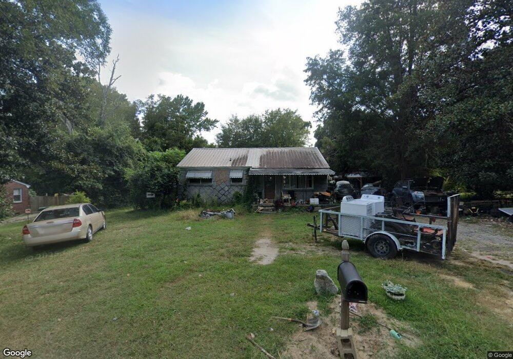
7608 Marie St Columbia, SC 29209
Southeast Columbia NeighborhoodEstimated Value: $136,000 - $147,000
3
Beds
1
Bath
945
Sq Ft
$148/Sq Ft
Est. Value
About This Home
This home is located at 7608 Marie St, Columbia, SC 29209 and is currently estimated at $139,735, approximately $147 per square foot. 7608 Marie St is a home located in Richland County with nearby schools including Mill Creek Elementary School, Hopkins Middle School, and Lower Richland High School.
Ownership History
Date
Name
Owned For
Owner Type
Purchase Details
Closed on
Nov 25, 2013
Sold by
Williamson Sandra J and Carr Sandra E
Bought by
Wiliamson Samuel
Current Estimated Value
Purchase Details
Closed on
Jul 31, 2013
Sold by
Williamson Saudia J and Estate Of Gregory Clyde Willia
Bought by
Williamson Sandra J and Lail Sandra E
Purchase Details
Closed on
Sep 28, 2010
Sold by
Estate Of Abbie Lee Bundrick Williamson
Bought by
Williamson Samuel and Williamson Gregory
Create a Home Valuation Report for This Property
The Home Valuation Report is an in-depth analysis detailing your home's value as well as a comparison with similar homes in the area
Home Values in the Area
Average Home Value in this Area
Purchase History
| Date | Buyer | Sale Price | Title Company |
|---|---|---|---|
| Wiliamson Samuel | -- | None Available | |
| Williamson Sandra J | -- | None Available | |
| Williamson Samuel | -- | -- |
Source: Public Records
Tax History Compared to Growth
Tax History
| Year | Tax Paid | Tax Assessment Tax Assessment Total Assessment is a certain percentage of the fair market value that is determined by local assessors to be the total taxable value of land and additions on the property. | Land | Improvement |
|---|---|---|---|---|
| 2024 | $3,012 | $103,600 | $0 | $0 |
| 2023 | $3,012 | $2,156 | $0 | $0 |
| 2022 | $377 | $53,900 | $7,300 | $46,600 |
| 2021 | $351 | $2,160 | $0 | $0 |
| 2020 | $352 | $2,160 | $0 | $0 |
| 2019 | $315 | $2,160 | $0 | $0 |
| 2018 | $249 | $1,880 | $0 | $0 |
| 2017 | $249 | $1,880 | $0 | $0 |
| 2016 | $249 | $1,880 | $0 | $0 |
| 2015 | $249 | $1,880 | $0 | $0 |
| 2014 | $249 | $46,900 | $0 | $0 |
| 2013 | -- | $1,880 | $0 | $0 |
Source: Public Records
Map
Nearby Homes
- 168 Ashewood Commons Dr
- 909 Eastmont Dr
- 360 Council Loop
- 842 Eastmont Dr
- 1527 Burnside Ave
- 349 Eastfair Dr
- 8025 Skylark Dr
- 797 Phipps Ln
- 113 Colonial Commons Ln
- 115 Colonial Commons Ln
- 101 Colonial Commons Ln
- 267 Blue Savannah St
- 263 Blue Savannah St
- 106 Colonial Commons Ln
- 220 Wheat Farm Rd
- 208 Wheat Farm Rd
- 217 Wheat Farm Rd
- 213 Wheat Farm Rd
- 155 Colonial Commons Ln
- 2 Routhland Ct