7608 S Palouse Hwy Spokane, WA 99223
Estimated Value: $383,825 - $408,000
3
Beds
1
Bath
1,368
Sq Ft
$287/Sq Ft
Est. Value
About This Home
This home is located at 7608 S Palouse Hwy, Spokane, WA 99223 and is currently estimated at $392,206, approximately $286 per square foot. 7608 S Palouse Hwy is a home located in Spokane County with nearby schools including Mullan Road Elementary School, Sacajawea Middle School, and Ferris High School.
Ownership History
Date
Name
Owned For
Owner Type
Purchase Details
Closed on
Sep 28, 2007
Sold by
Olmsted Timothy W and Olmsted Tamara G
Bought by
Cheney Monica A and Cheney Donald L
Current Estimated Value
Home Financials for this Owner
Home Financials are based on the most recent Mortgage that was taken out on this home.
Original Mortgage
$108,000
Outstanding Balance
$68,304
Interest Rate
6.46%
Mortgage Type
Purchase Money Mortgage
Estimated Equity
$323,902
Create a Home Valuation Report for This Property
The Home Valuation Report is an in-depth analysis detailing your home's value as well as a comparison with similar homes in the area
Home Values in the Area
Average Home Value in this Area
Purchase History
| Date | Buyer | Sale Price | Title Company |
|---|---|---|---|
| Cheney Monica A | $135,000 | First American Title Ins |
Source: Public Records
Mortgage History
| Date | Status | Borrower | Loan Amount |
|---|---|---|---|
| Open | Cheney Monica A | $108,000 |
Source: Public Records
Tax History Compared to Growth
Tax History
| Year | Tax Paid | Tax Assessment Tax Assessment Total Assessment is a certain percentage of the fair market value that is determined by local assessors to be the total taxable value of land and additions on the property. | Land | Improvement |
|---|---|---|---|---|
| 2025 | $2,999 | $306,600 | $132,300 | $174,300 |
| 2024 | $2,999 | $284,500 | $132,300 | $152,200 |
| 2023 | $2,716 | $277,150 | $124,950 | $152,200 |
| 2022 | $2,671 | $264,120 | $116,620 | $147,500 |
| 2021 | $2,505 | $202,500 | $88,200 | $114,300 |
| 2020 | $2,417 | $188,000 | $88,200 | $99,800 |
| 2019 | $2,156 | $172,090 | $83,790 | $88,300 |
| 2018 | $2,350 | $160,180 | $79,380 | $80,800 |
| 2017 | $2,205 | $151,780 | $79,380 | $72,400 |
| 2016 | $2,128 | $143,680 | $79,380 | $64,300 |
| 2015 | $2,096 | $142,980 | $79,380 | $63,600 |
| 2014 | -- | $92,480 | $35,280 | $57,200 |
| 2013 | -- | $0 | $0 | $0 |
Source: Public Records
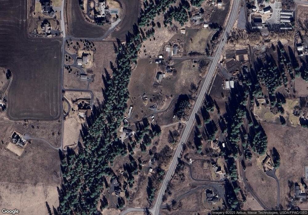
Map
Nearby Homes
- 6815 S Palouse Hwy
- 7525 S Regal Rd
- 6624 S Ben Burr Rd
- 3409 E 64th Ct
- 6219 S Moran Dr
- 3514 E 61st Ave
- 6304 S Deanna Ct
- 6205 S Dearborn Rd
- 6210 S Paula Ct
- 5412 E Jamieson Rd
- 6500 E Jamieson Rd
- 3006 E 62nd Ave
- 5906 S Donora Dr
- 6105 S Regal St
- 5915 S Dearborn Rd
- 2815 E 62nd Ln
- 3311 E Chisholm Ln
- 5716 S Moran Dr
- 7406 S Deerview Ln
- 2106 E 63rd Ave
- 7610 S Palouse Hwy
- 7706 S Palouse Hwy
- 7524 S Palouse Hwy
- 7812 S Palouse Hwy
- 7516 S Palouse Hwy
- 7627 S South Meadows Ln
- 7715 S Palouse Hwy
- 7525 S South Meadows Rd
- 8229 S Regal Rd
- 0 S Ellis Rd
- 7524 S Ellis Rd
- 7416 S Palouse Hwy
- 7815 S Palouse Hwy
- 3602 E 73rd Ave
- 0 S South Meadows Ln Unit 201824298
- 0 S South Meadows Ln Unit 28012685
- 0 S South Meadows Ln Unit 201318316
- 0 S South Meadows Ln Unit SAR27028072
- 0 S South Meadows Ln Unit SAR27019440
- 0 S South Meadows Ln Unit SAR26031149