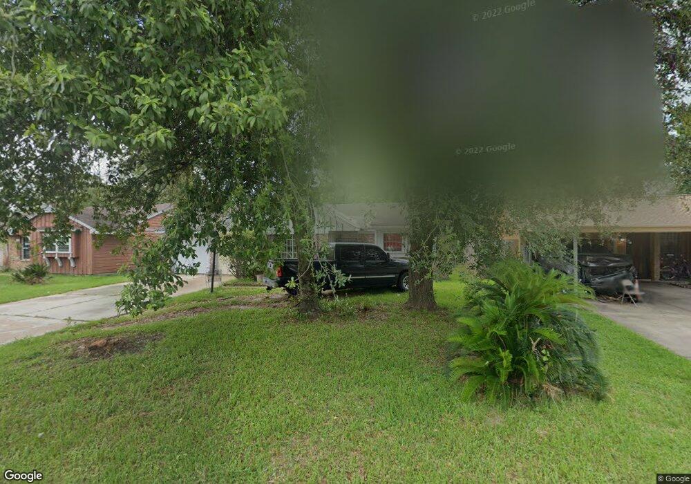
7609 Boggess Rd Houston, TX 77016
East Little York NeighborhoodEstimated Value: $141,000 - $172,000
3
Beds
2
Baths
1,044
Sq Ft
$152/Sq Ft
Est. Value
About This Home
This home is located at 7609 Boggess Rd, Houston, TX 77016 and is currently estimated at $158,733, approximately $152 per square foot. 7609 Boggess Rd is a home located in Harris County with nearby schools including Shadydale Elementary School, Forest Brook Middle, and North Forest High School.
Ownership History
Date
Name
Owned For
Owner Type
Purchase Details
Closed on
Feb 12, 2010
Sold by
Avalos Victor H and Avalos Victor A
Bought by
Aleman Aydee G
Current Estimated Value
Home Financials for this Owner
Home Financials are based on the most recent Mortgage that was taken out on this home.
Original Mortgage
$47,000
Interest Rate
4.53%
Mortgage Type
Seller Take Back
Purchase Details
Closed on
Dec 2, 2009
Sold by
Lee Norman
Bought by
Avalos Victor A
Create a Home Valuation Report for This Property
The Home Valuation Report is an in-depth analysis detailing your home's value as well as a comparison with similar homes in the area
Home Values in the Area
Average Home Value in this Area
Purchase History
| Date | Buyer | Sale Price | Title Company |
|---|---|---|---|
| Aleman Aydee G | -- | Ameripoint Title | |
| Avalos Victor A | -- | Capital Title |
Source: Public Records
Mortgage History
| Date | Status | Borrower | Loan Amount |
|---|---|---|---|
| Closed | Aleman Aydee G | $47,000 |
Source: Public Records
Tax History Compared to Growth
Tax History
| Year | Tax Paid | Tax Assessment Tax Assessment Total Assessment is a certain percentage of the fair market value that is determined by local assessors to be the total taxable value of land and additions on the property. | Land | Improvement |
|---|---|---|---|---|
| 2025 | $714 | $124,495 | $45,150 | $79,345 |
| 2024 | $714 | $124,495 | $45,150 | $79,345 |
| 2023 | $714 | $151,918 | $45,150 | $106,768 |
| 2022 | $1,323 | $129,582 | $37,926 | $91,656 |
| 2021 | $1,273 | $103,862 | $25,284 | $78,578 |
| 2020 | $1,202 | $90,257 | $18,782 | $71,475 |
| 2019 | $1,142 | $84,526 | $13,726 | $70,800 |
| 2018 | $532 | $55,817 | $12,353 | $43,464 |
| 2017 | $943 | $55,817 | $12,353 | $43,464 |
| 2016 | $858 | $53,324 | $12,353 | $40,971 |
| 2015 | $398 | $47,475 | $12,353 | $35,122 |
| 2014 | $398 | $42,491 | $12,353 | $30,138 |
Source: Public Records
Map
Nearby Homes
- 7618 Boggess Rd
- 10206 Cheeves Dr
- 10125 Rebel Rd
- 7726 Melanie St
- 7449 Gleason Rd
- 7818 Laurel Gem Dr
- 7827 Laurel Gem Dr
- 7823 Laurel Gem Dr
- 7821 Laurel Gem Dr
- 7812 Laurel Gem Dr
- 7830 Laurel Gem Dr
- 7824 Laurel Gem Dr
- 7819 Laurel Gem Dr
- 7815 Laurel Gem Dr
- 10101 Rebel Rd
- 10106 Cheeves Dr
- 8022 Yoe St
- 10313 Blades St
- 7807 Lavender Lantana Ln
- 10035 Tiger Flower Ln
- 7613 Boggess Rd
- 7605 Boggess Rd
- 7610 Lakewood Dr
- 7617 Boggess Rd
- 7601 Boggess Rd
- 7606 Lakewood Dr
- 7614 Lakewood Dr
- 7618 Lakewood Dr
- 7602 Lakewood Dr
- 7614 Boggess Rd
- 7621 Boggess Rd
- 7610 Boggess Rd
- 7622 Boggess Rd
- 7622 Lakewood Dr
- 7606 Boggess Rd
- 7625 Boggess Rd
- 7626 Boggess Rd
- 7626 Lakewood Dr
- 10311 Rebel Rd
- 7602 Boggess Rd