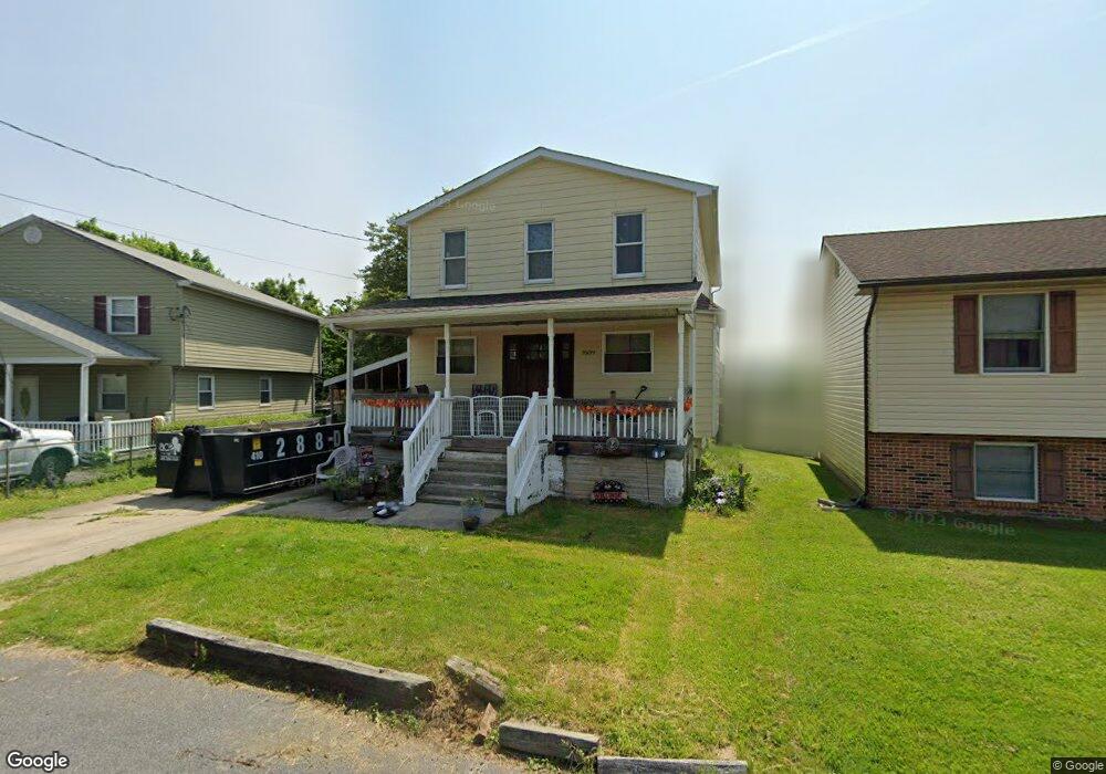
7609 Carson Ave Baltimore, MD 21224
Estimated Value: $242,000 - $340,000
Studio
2
Baths
1,738
Sq Ft
$175/Sq Ft
Est. Value
About This Home
This home is located at 7609 Carson Ave, Baltimore, MD 21224 and is currently estimated at $303,829, approximately $174 per square foot. 7609 Carson Ave is a home located in Baltimore County with nearby schools including Berkshire Elementary School, Holabird Middle School, and Dundalk High School.
Ownership History
Date
Name
Owned For
Owner Type
Purchase Details
Closed on
Aug 22, 2001
Sold by
Secretary Of Veterans Affairs
Bought by
Snyder Mary
Current Estimated Value
Purchase Details
Closed on
Feb 22, 2000
Sold by
Overby Roy Malee
Bought by
Secretary Of Veterans Affairs
Purchase Details
Closed on
May 4, 1995
Sold by
Weidner Earl F
Bought by
Overby Roy M
Home Financials for this Owner
Home Financials are based on the most recent Mortgage that was taken out on this home.
Original Mortgage
$99,850
Interest Rate
8.36%
Create a Home Valuation Report for This Property
The Home Valuation Report is an in-depth analysis detailing your home's value as well as a comparison with similar homes in the area
Home Values in the Area
Average Home Value in this Area
Purchase History
| Date | Buyer | Sale Price | Title Company |
|---|---|---|---|
| Snyder Mary | $84,000 | -- | |
| Secretary Of Veterans Affairs | $85,814 | -- | |
| Overby Roy M | $97,900 | -- |
Source: Public Records
Mortgage History
| Date | Status | Borrower | Loan Amount |
|---|---|---|---|
| Previous Owner | Overby Roy M | $99,850 |
Source: Public Records
Tax History
| Year | Tax Paid | Tax Assessment Tax Assessment Total Assessment is a certain percentage of the fair market value that is determined by local assessors to be the total taxable value of land and additions on the property. | Land | Improvement |
|---|---|---|---|---|
| 2025 | $3,729 | $203,333 | -- | -- |
| 2024 | $3,729 | $185,467 | $0 | $0 |
| 2023 | $1,828 | $167,600 | $53,100 | $114,500 |
| 2022 | $3,419 | $163,200 | $0 | $0 |
| 2021 | $2,712 | $158,800 | $0 | $0 |
| 2020 | $2,712 | $154,400 | $53,100 | $101,300 |
| 2019 | $2,394 | $153,867 | $0 | $0 |
| 2018 | $2,287 | $153,333 | $0 | $0 |
| 2017 | $2,203 | $152,800 | $0 | $0 |
| 2016 | $3,510 | $152,800 | $0 | $0 |
| 2015 | $3,510 | $152,800 | $0 | $0 |
| 2014 | $3,510 | $155,400 | $0 | $0 |
Source: Public Records
Map
Nearby Homes
- 7627 Carson Ave
- 7506 Belmont Ave
- 619 N Point Rd
- 900 N Point Rd
- 7503 Cypress Ave
- 7412 Belmont Ave
- 7428 Poplar Ave
- 7416 Poplar Ave
- 7412 Poplar Ave
- 7503 Riddle Ave
- 7406 Poplar Ave
- 1006 Dalton Ave
- 7525 Lange St
- 8031 Bank St
- 7721 Wynbrook Rd
- 8049 Lansdale Rd
- 8013 Gough St
- 8019 Gough St
- 7820 Wynbrook Rd
- 7906 Wynbrook Rd
- 7611 Carson Ave
- 7605 Carson Ave
- 7615 Carson Ave
- 7514 Belmont Ave
- 7603 Carson Ave
- 7518 Belmont Ave
- 7516 Belmont Ave
- 7608 Carson Ave
- 7604 Carson Ave
- 7512 Belmont Ave
- 7601 Carson Ave
- 7610 Carson Ave
- 7602 Carson Ave
- 7612 Carson Ave
- 7510 Belmont Ave
- 7600 Carson Ave
- 7531 Carson Ave
- 7617 Carson Ave
- 7614 Carson Ave
- 7508 Belmont Ave
Your Personal Tour Guide
Ask me questions while you tour the home.