7609 Portstewart Dr Unit 2C Lakewood Ranch, FL 34202
Estimated Value: $706,000 - $834,000
3
Beds
2
Baths
2,298
Sq Ft
$330/Sq Ft
Est. Value
About This Home
This home is located at 7609 Portstewart Dr Unit 2C, Lakewood Ranch, FL 34202 and is currently estimated at $757,526, approximately $329 per square foot. 7609 Portstewart Dr Unit 2C is a home located in Manatee County with nearby schools including Robert Willis Elementary School, Lakewood Ranch High School, and R. Dan Nolan Middle School.
Ownership History
Date
Name
Owned For
Owner Type
Purchase Details
Closed on
Nov 17, 2014
Sold by
Miller Theys Patricia S
Bought by
Miller Theys Patricia S and Patricia S Miller Theys Trust
Current Estimated Value
Purchase Details
Closed on
May 23, 2013
Sold by
Theys Thomas R and Miller Theys Patricia S
Bought by
Miller Theys Patricia S
Purchase Details
Closed on
Mar 16, 2009
Sold by
Lwr Country Club West Llc
Bought by
Theys Thomas R and Theys Patricia M
Create a Home Valuation Report for This Property
The Home Valuation Report is an in-depth analysis detailing your home's value as well as a comparison with similar homes in the area
Home Values in the Area
Average Home Value in this Area
Purchase History
| Date | Buyer | Sale Price | Title Company |
|---|---|---|---|
| Miller Theys Patricia S | -- | Attorney | |
| Miller Theys Patricia S | -- | Attorney | |
| Theys Thomas R | $547,000 | Attorney |
Source: Public Records
Tax History Compared to Growth
Tax History
| Year | Tax Paid | Tax Assessment Tax Assessment Total Assessment is a certain percentage of the fair market value that is determined by local assessors to be the total taxable value of land and additions on the property. | Land | Improvement |
|---|---|---|---|---|
| 2025 | $9,714 | $450,701 | -- | -- |
| 2024 | $9,714 | $437,999 | -- | -- |
| 2023 | $9,714 | $425,242 | $0 | $0 |
| 2022 | $9,569 | $412,856 | $0 | $0 |
| 2021 | $9,186 | $400,831 | $0 | $0 |
| 2020 | $9,531 | $395,297 | $0 | $0 |
| 2019 | $9,788 | $386,410 | $0 | $0 |
| 2018 | $9,625 | $379,205 | $0 | $0 |
| 2017 | $9,677 | $371,405 | $0 | $0 |
| 2016 | $9,037 | $363,766 | $0 | $0 |
| 2015 | $8,808 | $361,237 | $0 | $0 |
| 2014 | $8,808 | $358,370 | $0 | $0 |
| 2013 | $9,184 | $353,074 | $0 | $0 |
Source: Public Records
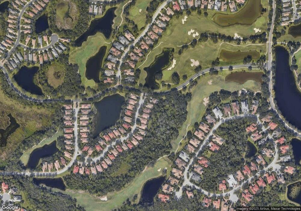
Map
Nearby Homes
- 7532 Greystone St
- 11716 Strandhill Ct
- 7412 Greystone St
- 6655 Pebble Beach Way
- 6710 Pebble Beach Way
- 7422 Edenmore St Unit 2B
- 7406 Lake Forest Glen
- 7257 Greystone St
- 6633 The Masters Ave
- 6847 Bay Hill Dr
- 6851 Bay Hill Dr
- 12710 Stone Ridge Place
- 6720 The Masters Ave
- 12714 Stone Ridge Place
- 12705 Stone Ridge Place
- 6642 Oakland Hills Dr
- 12240 Thornhill Ct
- 6547 Oakland Hills Dr
- 12311 Newcastle Place
- 7753 US Open Loop
- 7613 Portstewart Dr Unit 2C
- 7605 Portstewart Dr
- 7617 Portstewart Dr
- 7621 Portstewart Dr
- 7608 Portstewart Dr
- 7604 Portstewart Dr
- 7612 Portstewart Dr
- 7623 Portstewart Dr Unit 2C
- 7616 Portstewart Dr
- 7620 Portstewart Dr
- 7624 Portstewart Dr Unit 2C
- 7625 Portstewart Dr Unit 2C
- 7627 Portstewart Dr
- 7628 Portstewart Dr
- 7629 Portstewart Dr
- 7527 Greystone St
- 7632 Portstewart Dr
- 7633 Portstewart Dr
- 7519 Greystone St
- 7636 Portstewart Dr