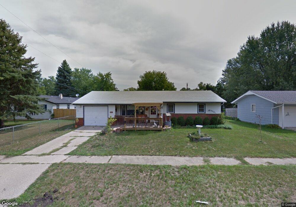
7609 Suffield Rd Loves Park, IL 61111
Estimated Value: $159,000 - $178,718
3
Beds
1
Bath
1,069
Sq Ft
$162/Sq Ft
Est. Value
About This Home
This home is located at 7609 Suffield Rd, Loves Park, IL 61111 and is currently estimated at $172,680, approximately $161 per square foot. 7609 Suffield Rd is a home located in Winnebago County with nearby schools including Rock Cut Elementary School, Harlem Middle School, and Harlem High School.
Ownership History
Date
Name
Owned For
Owner Type
Purchase Details
Closed on
Oct 26, 2020
Sold by
Susan L Dow Trust
Bought by
Cowgill Ronnie
Current Estimated Value
Purchase Details
Closed on
Aug 23, 2002
Sold by
Daubert David W and Daubert Rose M
Bought by
Dow Susan L Te
Home Financials for this Owner
Home Financials are based on the most recent Mortgage that was taken out on this home.
Original Mortgage
$83,945
Interest Rate
3.68%
Mortgage Type
FHA
Create a Home Valuation Report for This Property
The Home Valuation Report is an in-depth analysis detailing your home's value as well as a comparison with similar homes in the area
Home Values in the Area
Average Home Value in this Area
Purchase History
| Date | Buyer | Sale Price | Title Company |
|---|---|---|---|
| Cowgill Ronnie | -- | Ferguson Trent M | |
| Dow Susan L Te | $84,000 | -- | |
| Dow Susan | $84,000 | -- |
Source: Public Records
Mortgage History
| Date | Status | Borrower | Loan Amount |
|---|---|---|---|
| Previous Owner | Dow Susan L Te | $83,945 |
Source: Public Records
Tax History
| Year | Tax Paid | Tax Assessment Tax Assessment Total Assessment is a certain percentage of the fair market value that is determined by local assessors to be the total taxable value of land and additions on the property. | Land | Improvement |
|---|---|---|---|---|
| 2024 | $3,462 | $49,859 | $4,842 | $45,017 |
| 2023 | $3,251 | $44,280 | $4,300 | $39,980 |
| 2022 | $3,352 | $40,387 | $3,922 | $36,465 |
| 2021 | $3,153 | $37,563 | $3,648 | $33,915 |
| 2020 | $2,893 | $35,781 | $3,475 | $32,306 |
| 2019 | $2,957 | $34,273 | $3,329 | $30,944 |
| 2018 | $3,149 | $33,149 | $3,220 | $29,929 |
| 2017 | $3,094 | $32,240 | $3,132 | $29,108 |
| 2016 | $3,044 | $31,599 | $3,070 | $28,529 |
| 2015 | $3,015 | $31,046 | $3,016 | $28,030 |
| 2014 | $2,982 | $31,046 | $3,016 | $28,030 |
Source: Public Records
Map
Nearby Homes
- 7502 Buffalo Grove Rd
- 5101 Pebble Ln
- 5132 Pebble Ln
- 5141 Pebble Ln
- 5014 Rockberry Rd
- 5228 Marble Dr
- 0000 N Alpine Rd
- 1914 Plateau Ave
- 5331 Quartz Dr
- 7270 N Alpine Rd
- 8405 Centaur Dr
- 2107 Rivington Lot 39 Rd
- 5261 Bunker Hill Ct
- 5683 Rockport Rd
- 8420 Bobolink Dr
- 5128 Morning Glory Ln Unit 32
- 5785 Jackies Dr
- 5616 Jackies Dr
- 5788 Jackies Dr
- 1534 Roosevelt Rd
- 7605 Suffield Rd
- 2313 Devon Ave
- 2319 Devon Ct
- 7601 Suffield Rd
- 2317 Devon Ave
- 2321 Devon Ct
- 7608 Suffield Rd
- 2305 Devon Ave
- 7513 Suffield Rd
- 7604 Suffield Rd
- 7509 Suffield Rd
- 7600 Suffield Rd
- 2323 Devon Ct
- 2304 Devon Ave
- 2316 Devon Ave
- 7617 Eastmont Ave
- 7613 Eastmont Ave
- 2405 Devon Ave
- 7520 Suffield Rd
- 7505 Suffield Rd
Your Personal Tour Guide
Ask me questions while you tour the home.