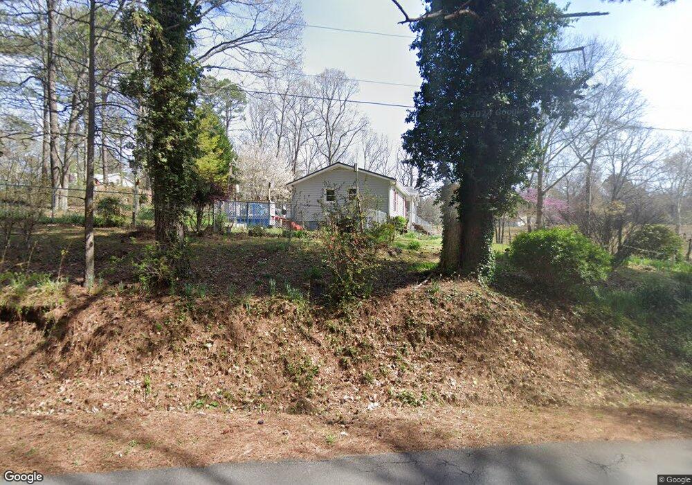
761 Campbell Rd Cedartown, GA 30125
Estimated Value: $215,326 - $354,000
3
Beds
2
Baths
1,224
Sq Ft
$207/Sq Ft
Est. Value
About This Home
This home is located at 761 Campbell Rd, Cedartown, GA 30125 and is currently estimated at $253,832, approximately $207 per square foot. 761 Campbell Rd is a home located in Polk County.
Ownership History
Date
Name
Owned For
Owner Type
Purchase Details
Closed on
Mar 18, 2005
Sold by
Rudeseal Robert A
Bought by
Rudeseal Robert A
Current Estimated Value
Purchase Details
Closed on
Aug 25, 1988
Sold by
Rudeseal Robert A
Bought by
Rudeseal Patricia
Purchase Details
Closed on
Aug 4, 1988
Sold by
Rudeseal Faye
Bought by
Rudeseal Robert A
Create a Home Valuation Report for This Property
The Home Valuation Report is an in-depth analysis detailing your home's value as well as a comparison with similar homes in the area
Home Values in the Area
Average Home Value in this Area
Purchase History
| Date | Buyer | Sale Price | Title Company |
|---|---|---|---|
| Rudeseal Robert A | -- | -- | |
| Rudeseal Patricia | -- | -- | |
| Rudeseal Robert A | -- | -- |
Source: Public Records
Tax History Compared to Growth
Tax History
| Year | Tax Paid | Tax Assessment Tax Assessment Total Assessment is a certain percentage of the fair market value that is determined by local assessors to be the total taxable value of land and additions on the property. | Land | Improvement |
|---|---|---|---|---|
| 2024 | $1,317 | $65,022 | $4,050 | $60,972 |
| 2023 | $992 | $43,799 | $4,050 | $39,749 |
| 2022 | $835 | $37,180 | $2,700 | $34,480 |
| 2021 | $846 | $37,180 | $2,700 | $34,480 |
| 2020 | $847 | $37,180 | $2,700 | $34,480 |
| 2019 | $781 | $31,084 | $2,700 | $28,384 |
| 2018 | $780 | $30,324 | $2,700 | $27,624 |
| 2017 | $771 | $30,324 | $2,700 | $27,624 |
| 2016 | $752 | $29,624 | $2,000 | $27,624 |
| 2015 | $756 | $29,716 | $2,000 | $27,716 |
| 2014 | $762 | $29,716 | $2,000 | $27,716 |
Source: Public Records
Map
Nearby Homes
- 0 Runyon Loop Unit 10606366
- 0 Runyon Loop Unit 7650113
- 176 Runyon Loop
- 600 Grady Rd
- 160 Tate Rd
- 1838 Antioch Rd
- 247 Grady Rd
- 470 Knight Rd
- 728 Hutto Rd
- 394 Knight Rd
- 0 Coaling Rd Unit 9221-D 10352096
- 0 Coaling Rd Unit 9221-C 10352086
- 0 Coaling Rd Unit 9221 10352063
- 0 Coaling Rd Unit 9221-B 10352079
- 3323 Rockmart Hwy
- 200 Kelly Rd
- 0 Everett Mtn Rd
- 94 Wimberly Hill Loop
- 766 Antioch Rd
- 209 Ridgewood Rd
- 763 Campbell Rd
- 777 Campbell Rd
- 791 Campbell Rd
- 787 Campbell Rd
- 721 Campbell Rd
- 839 Campbell Rd
- 707 Campbell Rd
- 684 Campbell Rd
- 889 Campbell Rd
- 624 Campbell Rd
- 477 Mullen Rd
- 585 Campbell Rd
- 291 Mullen Rd
- 0 Runyon Rd Unit 8413639
- 0 Runyon Rd
- 0 Runyon Rd Unit 7369426
- 0 Runyon Rd Unit 8346380
- 0 Runyon Rd Unit 6793828
- 0 Runyon Rd Unit 8871055
- O Campbell Rd