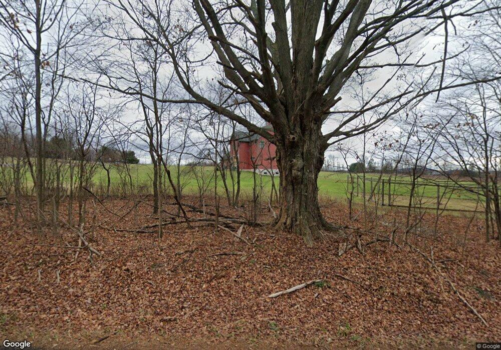
761 Coon Rd Wyoming, PA 18644
Estimated Value: $279,000 - $544,000
--
Bed
--
Bath
--
Sq Ft
4
Acres
About This Home
This home is located at 761 Coon Rd, Wyoming, PA 18644 and is currently estimated at $447,004. 761 Coon Rd is a home with nearby schools including Dallas Senior High School.
Ownership History
Date
Name
Owned For
Owner Type
Purchase Details
Closed on
Nov 6, 2010
Sold by
Linnen Anthony P and Linnen Amy E
Bought by
Musto Martin J and Musto Theresa
Current Estimated Value
Purchase Details
Closed on
Sep 17, 2007
Sold by
Yurkon Stanley and Yurkon Jo Ann
Bought by
Musto Martin J and Musto Theresa
Home Financials for this Owner
Home Financials are based on the most recent Mortgage that was taken out on this home.
Original Mortgage
$96,750
Interest Rate
6.65%
Mortgage Type
Purchase Money Mortgage
Create a Home Valuation Report for This Property
The Home Valuation Report is an in-depth analysis detailing your home's value as well as a comparison with similar homes in the area
Home Values in the Area
Average Home Value in this Area
Purchase History
| Date | Buyer | Sale Price | Title Company |
|---|---|---|---|
| Musto Martin J | -- | None Available | |
| Musto Martin J | $129,000 | None Available |
Source: Public Records
Mortgage History
| Date | Status | Borrower | Loan Amount |
|---|---|---|---|
| Previous Owner | Musto Martin J | $96,750 |
Source: Public Records
Tax History Compared to Growth
Tax History
| Year | Tax Paid | Tax Assessment Tax Assessment Total Assessment is a certain percentage of the fair market value that is determined by local assessors to be the total taxable value of land and additions on the property. | Land | Improvement |
|---|---|---|---|---|
| 2025 | $5,981 | $280,900 | $63,500 | $217,400 |
| 2024 | $5,793 | $280,900 | $63,500 | $217,400 |
| 2023 | $5,793 | $280,900 | $63,500 | $217,400 |
| 2022 | $5,741 | $280,900 | $63,500 | $217,400 |
| 2021 | $5,741 | $280,900 | $63,500 | $217,400 |
| 2020 | $5,741 | $280,900 | $63,500 | $217,400 |
| 2019 | $5,687 | $280,900 | $63,500 | $217,400 |
| 2018 | $5,630 | $280,900 | $63,500 | $217,400 |
| 2017 | $5,547 | $280,900 | $63,500 | $217,400 |
| 2016 | -- | $280,900 | $63,500 | $217,400 |
| 2015 | -- | $280,900 | $63,500 | $217,400 |
| 2014 | -- | $280,900 | $63,500 | $217,400 |
Source: Public Records
Map
Nearby Homes
- 1523 W 8th St
- 1266 Ryman Rd
- 278 Cider Run Rd
- The Burlington Plan at Saddle Ridge
- The Rutherford Plan at Saddle Ridge
- The Edison Plan at Saddle Ridge
- The Abilene Plan at Saddle Ridge
- The Clarksville Plan at Saddle Ridge
- The Standford Plan at Saddle Ridge
- The Baywood Plan at Saddle Ridge
- The Vicksburg Plan at Saddle Ridge
- The Frankford Plan at Saddle Ridge
- The Nottingham Plan at Saddle Ridge
- The Hatteras Plan at Saddle Ridge
- The Monroe Plan at Saddle Ridge
- The Cumberland Plan at Saddle Ridge
- The Roanoke Plan at Saddle Ridge
- The Cameron Plan at Saddle Ridge
- The Brookville Plan at Saddle Ridge
- The Oakridge Plan at Saddle Ridge