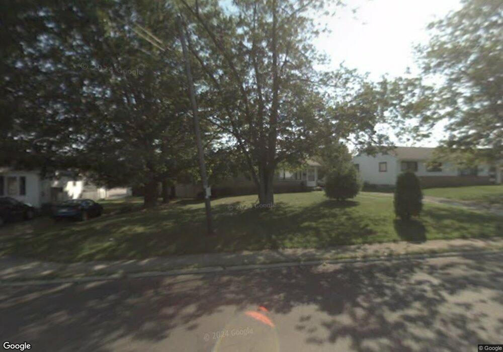
761 Mcpherson St Mansfield, OH 44903
Estimated Value: $66,000 - $95,514
3
Beds
1
Bath
936
Sq Ft
$87/Sq Ft
Est. Value
About This Home
This home is located at 761 Mcpherson St, Mansfield, OH 44903 and is currently estimated at $81,629, approximately $87 per square foot. 761 Mcpherson St is a home located in Richland County with nearby schools including Foundation Academy, Mansfield Elective Academy, and Goal Digital Academy.
Ownership History
Date
Name
Owned For
Owner Type
Purchase Details
Closed on
Oct 31, 2007
Sold by
Worthington Sam L and Worthington Michelle Lynn
Bought by
Secrist Dustin L and Secrist Brittany
Current Estimated Value
Home Financials for this Owner
Home Financials are based on the most recent Mortgage that was taken out on this home.
Original Mortgage
$44,000
Outstanding Balance
$27,839
Interest Rate
6.38%
Mortgage Type
Purchase Money Mortgage
Estimated Equity
$53,790
Purchase Details
Closed on
Dec 30, 1993
Sold by
Stringfellow Betty L
Bought by
Worthington Sam L
Purchase Details
Closed on
Aug 15, 1991
Bought by
Stringfellow Betty L
Create a Home Valuation Report for This Property
The Home Valuation Report is an in-depth analysis detailing your home's value as well as a comparison with similar homes in the area
Home Values in the Area
Average Home Value in this Area
Purchase History
| Date | Buyer | Sale Price | Title Company |
|---|---|---|---|
| Secrist Dustin L | $44,000 | Barrister Lawyers Title | |
| Worthington Sam L | $30,500 | -- | |
| Stringfellow Betty L | -- | -- |
Source: Public Records
Mortgage History
| Date | Status | Borrower | Loan Amount |
|---|---|---|---|
| Open | Secrist Dustin L | $44,000 |
Source: Public Records
Tax History Compared to Growth
Tax History
| Year | Tax Paid | Tax Assessment Tax Assessment Total Assessment is a certain percentage of the fair market value that is determined by local assessors to be the total taxable value of land and additions on the property. | Land | Improvement |
|---|---|---|---|---|
| 2024 | $1,077 | $23,010 | $4,490 | $18,520 |
| 2023 | $1,077 | $23,010 | $4,490 | $18,520 |
| 2022 | $915 | $16,370 | $3,710 | $12,660 |
| 2021 | $921 | $16,370 | $3,710 | $12,660 |
| 2020 | $942 | $16,370 | $3,710 | $12,660 |
| 2019 | $1,044 | $16,370 | $3,710 | $12,660 |
| 2018 | $1,029 | $16,370 | $3,710 | $12,660 |
| 2017 | $1,058 | $16,370 | $3,710 | $12,660 |
| 2016 | $1,114 | $17,650 | $3,530 | $14,120 |
| 2015 | $1,114 | $17,650 | $3,530 | $14,120 |
| 2014 | $1,050 | $17,650 | $3,530 | $14,120 |
| 2012 | $400 | $17,640 | $3,710 | $13,930 |
Source: Public Records
Map
Nearby Homes
- 0 State Route 314 Unit 9069650
- 0 State Route 314 Unit 9067316
- 0 State Route 314 Unit 225021979
- 269 Parkway Dr
- 641 Averill Ave
- 512 Burns St
- 480 Mcpherson St
- 237 Helen Ave
- 170 Western Ave
- 450 Tracy St
- 0 Highway 30
- 426 Mcpherson St
- 741 Burger Ave
- 340 Boston Ave
- 185 Rowland Ave
- 0 W Fourth St - Trimble Lenox
- 212 Penn Ave
- 96 Helen Ave
- 120 Gettings Place
- 0 Voegele Ave Unit Lot 6048, 6049, 6
- 759 Mcpherson St
- 763 Mcpherson St
- 768 Mcpherson St
- 756 Mcpherson St
- 766 Mcpherson St
- 790 Mcpherson St
- 754 Mcpherson St
- 743 Mcpherson St
- 466 Allison Ave
- 792 Mcpherson St
- 739 Mcpherson St
- 481 Allison Ave
- 742 Mcpherson St
- 472 Allison Ave
- 735 Mcpherson St
- 487 Allison Ave
- 793 Mcpherson St
- 478 Allison Ave
- 491 Allison Ave
- 734 Mcpherson St