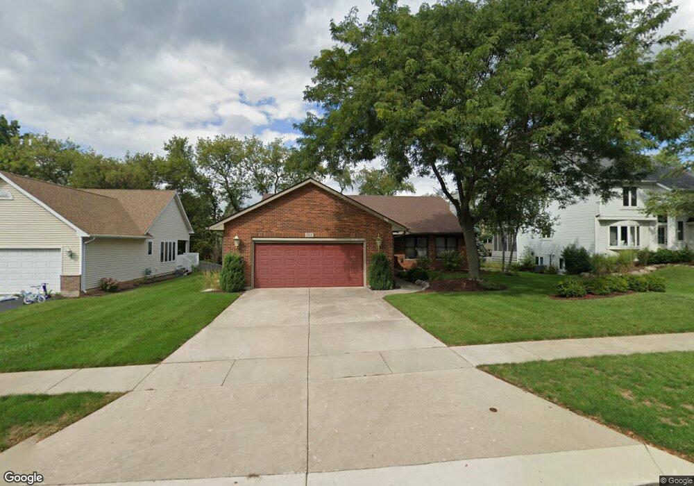
761 Roger Rd Woodstock, IL 60098
Estimated Value: $319,433 - $394,000
--
Bed
--
Bath
1,496
Sq Ft
$235/Sq Ft
Est. Value
About This Home
This home is located at 761 Roger Rd, Woodstock, IL 60098 and is currently estimated at $351,358, approximately $234 per square foot. 761 Roger Rd is a home located in McHenry County with nearby schools including Mary Endres Elementary School, Northwood Middle School, and Woodstock North High School.
Ownership History
Date
Name
Owned For
Owner Type
Purchase Details
Closed on
Dec 13, 2019
Sold by
Walton Larry D and Walton Maureen
Bought by
Walton Larry D and Walton Maureen
Current Estimated Value
Purchase Details
Closed on
Nov 2, 1995
Sold by
Hanson Joseph D
Bought by
Walton Larry and Walton Maureen
Home Financials for this Owner
Home Financials are based on the most recent Mortgage that was taken out on this home.
Original Mortgage
$156,000
Outstanding Balance
$2,184
Interest Rate
7.61%
Estimated Equity
$349,174
Purchase Details
Closed on
Oct 26, 1993
Sold by
Bank Of Woodstock
Bought by
Hanson Joseph D
Create a Home Valuation Report for This Property
The Home Valuation Report is an in-depth analysis detailing your home's value as well as a comparison with similar homes in the area
Home Values in the Area
Average Home Value in this Area
Purchase History
| Date | Buyer | Sale Price | Title Company |
|---|---|---|---|
| Walton Larry D | -- | None Available | |
| Walton Larry | $195,000 | Chicago Title | |
| Hanson Joseph D | $30,000 | -- |
Source: Public Records
Mortgage History
| Date | Status | Borrower | Loan Amount |
|---|---|---|---|
| Open | Walton Larry | $156,000 |
Source: Public Records
Tax History Compared to Growth
Tax History
| Year | Tax Paid | Tax Assessment Tax Assessment Total Assessment is a certain percentage of the fair market value that is determined by local assessors to be the total taxable value of land and additions on the property. | Land | Improvement |
|---|---|---|---|---|
| 2024 | $7,976 | $101,744 | $20,586 | $81,158 |
| 2023 | $7,615 | $93,045 | $18,826 | $74,219 |
| 2022 | $7,576 | $83,606 | $16,916 | $66,690 |
| 2021 | $7,141 | $77,788 | $15,739 | $62,049 |
| 2020 | $6,833 | $73,754 | $14,923 | $58,831 |
| 2019 | $6,517 | $69,441 | $14,050 | $55,391 |
| 2018 | $6,141 | $65,147 | $13,181 | $51,966 |
| 2017 | $5,973 | $61,142 | $12,371 | $48,771 |
| 2016 | $5,958 | $57,400 | $11,614 | $45,786 |
| 2013 | -- | $59,295 | $11,506 | $47,789 |
Source: Public Records
Map
Nearby Homes
- 1808 Powers Rd
- 1530 Hickory Rd Unit A
- 1721 Yasgur Dr
- 1819 Woodside Dr
- 1401 Rhett Place
- 905 Hickory Rd
- 908 Hickory Rd
- 214 Raffel Rd
- 105 Terry Ct
- 109 Raffel Rd
- 603 Handel Ln
- 1626 Wheeler St
- 935 Marvel Ave
- 871 Hickman Ln
- 1546 Wheeler St
- 244 Joseph St
- 709 Mchenry Ave
- 631 Mchenry Ave
- 1026 Clay St
- 208 W Greenwood Ave
- 751 Roger Rd
- 771 Roger Rd
- 780 Butterfield Rd
- 770 Butterfield Rd
- 790 Butterfield Rd
- 741 Roger Rd
- 754 Roger Rd
- 752 Roger Rd
- 1644 Poplar Ln
- 801 Roger Rd
- 764 Roger Rd
- 764 Roger Rd
- 762 Roger Rd
- 1706 Butterfield Rd
- 1642 Poplar Ln
- 1705 Powers Rd
- 800 Butterfield Rd
- 1634 Poplar Ln
- 721 Roger Rd
- 1621 Powers Rd