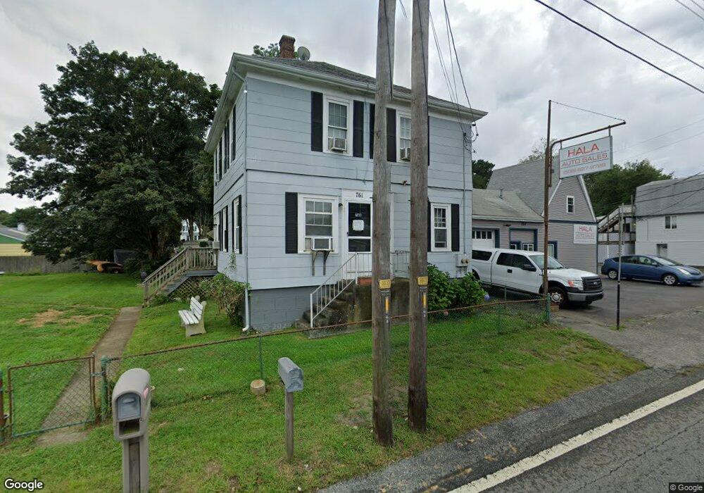
761 State Rd Westport, MA 02790
North Westport NeighborhoodEstimated Value: $170,000 - $449,000
4
Beds
6
Baths
1,413
Sq Ft
$244/Sq Ft
Est. Value
About This Home
This home is located at 761 State Rd, Westport, MA 02790 and is currently estimated at $344,497, approximately $243 per square foot. 761 State Rd is a home located in Bristol County with nearby schools including Alice A. Macomber Primary School, Westport Elementary School, and Westport Middle-High School.
Ownership History
Date
Name
Owned For
Owner Type
Purchase Details
Closed on
May 27, 2025
Sold by
Hebert Philip
Bought by
761 State Road Rt and Hebert
Current Estimated Value
Purchase Details
Closed on
Jan 15, 2025
Sold by
Dauteuil Kathleen A
Bought by
761 State Road Rt and Hebert
Purchase Details
Closed on
Oct 19, 2021
Sold by
Paul A Hebert Lt and Hebert
Bought by
Hebert Philip and D-Auteuil Kathleen A
Purchase Details
Closed on
Jul 7, 1975
Bought by
Hebert Paul and Hebert Philip
Create a Home Valuation Report for This Property
The Home Valuation Report is an in-depth analysis detailing your home's value as well as a comparison with similar homes in the area
Home Values in the Area
Average Home Value in this Area
Purchase History
| Date | Buyer | Sale Price | Title Company |
|---|---|---|---|
| 761 State Road Rt | -- | None Available | |
| 761 State Road Rt | -- | None Available | |
| 761 State Road Rt | -- | None Available | |
| 761 State Road Rt | $160,000 | None Available | |
| 761 State Road Rt | $160,000 | None Available | |
| 761 State Road Rt | $160,000 | None Available | |
| Hebert Philip | -- | None Available | |
| Hebert Philip | -- | None Available | |
| Paul A Hebert Lt | -- | None Available | |
| Paul A Hebert Lt | -- | None Available | |
| Hebert Paul | -- | -- |
Source: Public Records
Tax History Compared to Growth
Tax History
| Year | Tax Paid | Tax Assessment Tax Assessment Total Assessment is a certain percentage of the fair market value that is determined by local assessors to be the total taxable value of land and additions on the property. | Land | Improvement |
|---|---|---|---|---|
| 2025 | $1,971 | $264,500 | $131,600 | $132,900 |
| 2024 | $1,961 | $253,700 | $121,900 | $131,800 |
| 2023 | $1,866 | $228,700 | $103,900 | $124,800 |
| 2022 | $1,749 | $206,300 | $103,900 | $102,400 |
| 2021 | $1,621 | $188,000 | $94,500 | $93,500 |
| 2020 | $1,553 | $184,200 | $90,700 | $93,500 |
| 2019 | $1,585 | $191,700 | $96,000 | $95,700 |
| 2018 | $1,551 | $189,800 | $114,700 | $75,100 |
| 2017 | $1,496 | $187,700 | $114,700 | $73,000 |
| 2016 | $1,485 | $187,700 | $114,700 | $73,000 |
| 2015 | $1,385 | $174,700 | $114,700 | $60,000 |
Source: Public Records
Map
Nearby Homes
- 116 Gifford Rd
- 15 S Breault St
- 0 Van Buren St
- 9 Kyle Jacob Rd
- 20 Faulkner St
- 16 S Berryman St
- 565 Highland Ave
- 100 D Dr
- 3 Diane Way
- 1276 Old Fall River Rd
- 27 Dias Ave
- 96 Forge Rd
- 19 Charles Joseph Dr
- 2 Donna Marie Dr
- 29 Union Ave
- 56 Lakeside Ave
- 55 Lakeside Ave
- 818 Reed Rd
- 735 Reed Rd
- 9 Register Ave
- 757 State Rd
- 9 Greenwood Ave
- 0 State Rd (Route 6) Unit 70633240
- 0 State Rd (Route 6) Unit 70780137
- 2 Greenwood Ave
- 8 Greenwood Ave
- 10 Arlington Ave
- 755 State Rd
- 755 State Rd Unit A
- 762 State Rd
- 0 Greenwood Ave
- 768 State Rd
- 760 State Rd
- 15 Greenwood Ave
- 9 Arlington Ave
- 16 Arlington Ave
- 775 State Rd
- 756 State Rd Unit 758
- 4 Acushnet Ave
- 13 Arlington Ave