7610 Bowlander Way Unit 25 Fort Wayne, IN 46835
Northeast Fort Wayne NeighborhoodEstimated Value: $253,525 - $256,000
2
Beds
2
Baths
1,400
Sq Ft
$182/Sq Ft
Est. Value
About This Home
This home is located at 7610 Bowlander Way Unit 25, Fort Wayne, IN 46835 and is currently estimated at $254,631, approximately $181 per square foot. 7610 Bowlander Way Unit 25 is a home located in Allen County with nearby schools including Arlington Elementary School, Jefferson Middle School, and Northrop High School.
Ownership History
Date
Name
Owned For
Owner Type
Purchase Details
Closed on
Dec 16, 2016
Sold by
Diggs Nancy
Bought by
Fausnaugh Nancy
Current Estimated Value
Home Financials for this Owner
Home Financials are based on the most recent Mortgage that was taken out on this home.
Original Mortgage
$60,350
Outstanding Balance
$48,762
Interest Rate
3.54%
Mortgage Type
New Conventional
Estimated Equity
$205,869
Purchase Details
Closed on
Dec 1, 2011
Sold by
Sterling C V Development Llc
Bought by
Diggs Nancy
Create a Home Valuation Report for This Property
The Home Valuation Report is an in-depth analysis detailing your home's value as well as a comparison with similar homes in the area
Home Values in the Area
Average Home Value in this Area
Purchase History
| Date | Buyer | Sale Price | Title Company |
|---|---|---|---|
| Fausnaugh Nancy | -- | Trademark Title | |
| Diggs Nancy | -- | Titan Title Services Llc |
Source: Public Records
Mortgage History
| Date | Status | Borrower | Loan Amount |
|---|---|---|---|
| Open | Fausnaugh Nancy | $60,350 |
Source: Public Records
Tax History Compared to Growth
Tax History
| Year | Tax Paid | Tax Assessment Tax Assessment Total Assessment is a certain percentage of the fair market value that is determined by local assessors to be the total taxable value of land and additions on the property. | Land | Improvement |
|---|---|---|---|---|
| 2024 | $1,412 | $230,500 | $33,900 | $196,600 |
| 2023 | $1,412 | $219,000 | $33,900 | $185,100 |
| 2022 | $1,201 | $176,800 | $33,900 | $142,900 |
| 2021 | $1,093 | $157,700 | $26,000 | $131,700 |
| 2020 | $1,132 | $159,100 | $26,000 | $133,100 |
| 2019 | $951 | $137,400 | $26,000 | $111,400 |
| 2018 | $905 | $131,700 | $26,000 | $105,700 |
| 2017 | $915 | $128,600 | $26,000 | $102,600 |
| 2016 | $652 | $122,700 | $26,000 | $96,700 |
| 2014 | $855 | $122,700 | $26,000 | $96,700 |
| 2013 | $867 | $124,800 | $26,000 | $98,800 |
Source: Public Records
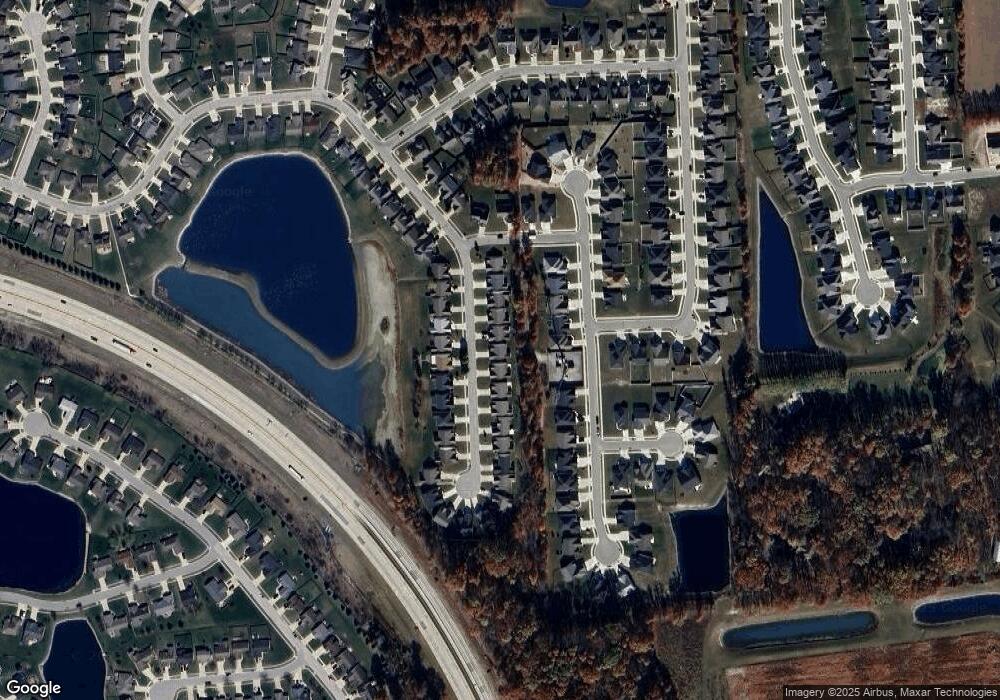
Map
Nearby Homes
- 7695 Accio Cove
- 7920 Wethersfield Cove
- 7755 Tumnus Trail
- 10328 Fieldlight Blvd
- 7779 Tumnus Trail
- 7746 Tumnus Trail Unit 70
- 10205 Battle Run Way
- 7920 Welland Ct
- 10255 Tirian Place
- 10249 Tirian Place
- 10299 Tirian Place
- 10263 Tirian Place
- 9803 Snowstar Place
- 9609 Carine Cove
- 7913 Maysfield Hill
- 9413 Acacia Passage
- Harmony Plan at Trader's Trace
- Stamford Plan at Trader's Trace
- Bellamy Plan at Trader's Trace
- Taylor Plan at Trader's Trace
- 7610 Bowlander Way
- 7616 Bowlander Way
- 7616 Bowlander Way Unit 26
- 7606 Bowlander Way
- 7606 Bowlander Way Unit 24
- 7624 Bowlander Way
- 7602 Bowlander Way
- 7602 Bowlander Way Unit 23
- 7628 Bowlander Way
- 7534 Bowlander Way
- 7534 Bowlander Way Unit 22
- 7609 Bowlander Way
- 7615 Bowlander Way
- 7615 Bowlander Way Unit 5
- 7605 Bowlander Way
- 7605 Bowlander Way Unit 7
- 7615 Accio Cove
- 7623 Bowlander Way
- 7623 Bowlander Way Unit 4
- 7632 Bowlander Way