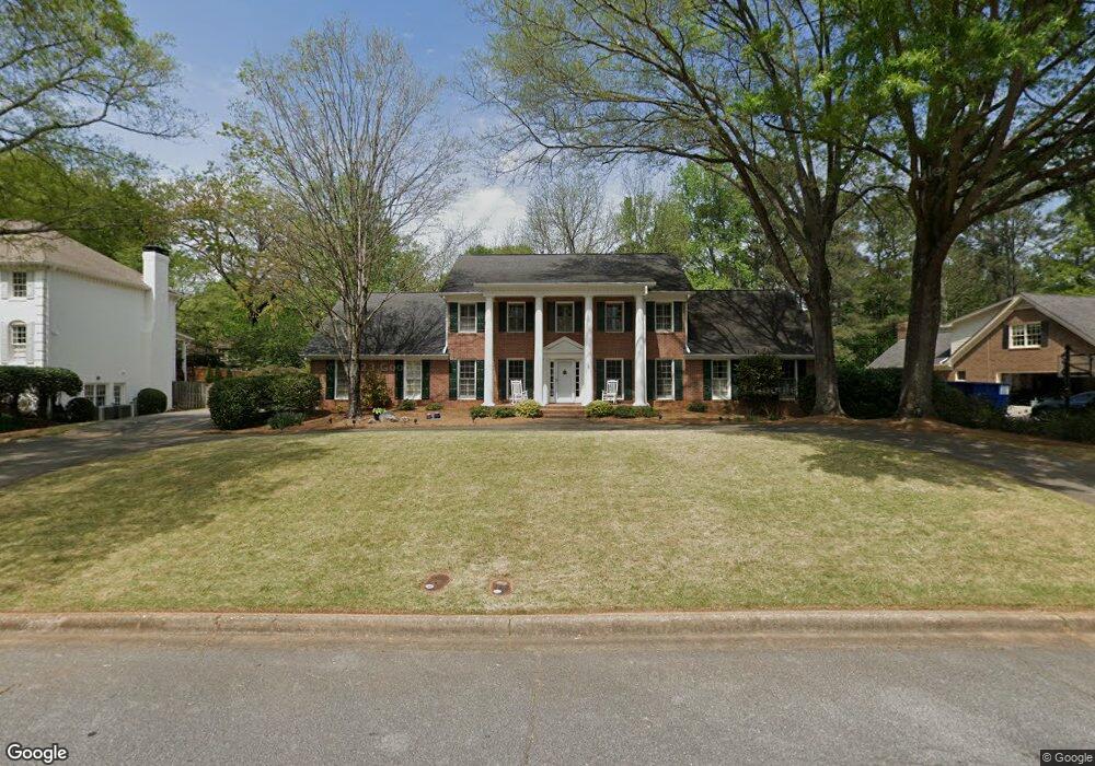
7610 Brigham Dr Unit 1 Atlanta, GA 30350
Dunwoody Panhandle NeighborhoodEstimated Value: $828,253 - $945,000
4
Beds
4
Baths
3,476
Sq Ft
$258/Sq Ft
Est. Value
About This Home
This home is located at 7610 Brigham Dr Unit 1, Atlanta, GA 30350 and is currently estimated at $897,563, approximately $258 per square foot. 7610 Brigham Dr Unit 1 is a home located in Fulton County with nearby schools including Dunwoody Springs Elementary School, Sandy Springs Middle School, and North Springs High School.
Ownership History
Date
Name
Owned For
Owner Type
Purchase Details
Closed on
May 7, 2001
Sold by
Matthews Jeffrey B
Bought by
Matthews Sandra C
Current Estimated Value
Purchase Details
Closed on
Sep 30, 1998
Sold by
Baumgartner Michael W and Baumgartner Martha B
Bought by
Matthews Jeffrey Bria
Home Financials for this Owner
Home Financials are based on the most recent Mortgage that was taken out on this home.
Original Mortgage
$85,000
Interest Rate
6.76%
Mortgage Type
New Conventional
Create a Home Valuation Report for This Property
The Home Valuation Report is an in-depth analysis detailing your home's value as well as a comparison with similar homes in the area
Home Values in the Area
Average Home Value in this Area
Purchase History
| Date | Buyer | Sale Price | Title Company |
|---|---|---|---|
| Matthews Sandra C | -- | -- | |
| Matthews Jeffrey Bria | $349,000 | -- |
Source: Public Records
Mortgage History
| Date | Status | Borrower | Loan Amount |
|---|---|---|---|
| Previous Owner | Matthews Jeffrey Bria | $85,000 |
Source: Public Records
Tax History Compared to Growth
Tax History
| Year | Tax Paid | Tax Assessment Tax Assessment Total Assessment is a certain percentage of the fair market value that is determined by local assessors to be the total taxable value of land and additions on the property. | Land | Improvement |
|---|---|---|---|---|
| 2025 | $6,077 | $229,080 | $56,680 | $172,400 |
| 2023 | $6,757 | $239,400 | $53,000 | $186,400 |
| 2022 | $5,896 | $242,320 | $74,960 | $167,360 |
| 2021 | $5,853 | $235,240 | $72,760 | $162,480 |
| 2020 | $5,889 | $223,960 | $48,480 | $175,480 |
| 2019 | $5,993 | $219,960 | $47,600 | $172,360 |
| 2018 | $5,874 | $190,760 | $33,880 | $156,880 |
| 2017 | $5,480 | $174,000 | $35,680 | $138,320 |
| 2016 | $5,480 | $174,000 | $35,680 | $138,320 |
| 2015 | $5,499 | $174,000 | $35,680 | $138,320 |
| 2014 | $5,695 | $174,000 | $35,680 | $138,320 |
Source: Public Records
Map
Nearby Homes
- 355 Aldenshire Place
- 7695 Brigham Dr
- 5352 Waterford Dr
- 4641 Brunning Ct
- 2381 Briarleigh Way
- 5264 Brooke Ridge Dr
- 5284 Brookelake Dr
- 130 Belvedere Ct
- 7700 Wickley Way
- 2810 Harwick Dr
- 2820 Harwick Dr
- 230 Westminster Place
- 7611 Regency Cir
- 7611 Regency Cir
- 7465 Stoneykirk Close
- 2293 Littlebrooke Trace
- 7640 Ryefield Dr
- 7600 Brigham Dr
- 7620 Brigham Dr
- 2365 Kimbrough Ct
- 2375 Kimbrough Ct
- 7635 Brigham Dr
- 2355 Kimbrough Ct
- 7590 Brigham Dr Unit 1
- 7645 Brigham Dr
- 7625 Brigham Dr
- 7630 Brigham Dr
- 0 Brigham Dr Unit 7500487
- 0 Brigham Dr Unit 7422520
- 0 Brigham Dr Unit 3279598
- 0 Brigham Dr Unit 3267114
- 0 Brigham Dr Unit 3129738
- 0 Brigham Dr Unit 3128488
- 0 Brigham Dr Unit 8539185
- 0 Brigham Dr Unit 8044165
- 0 Brigham Dr Unit 7626389
- 0 Brigham Dr Unit 7574799