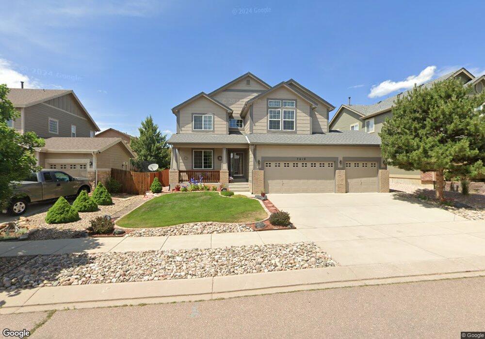
7610 Manston Dr Colorado Springs, CO 80920
Briargate NeighborhoodEstimated Value: $574,762 - $656,000
5
Beds
4
Baths
2,350
Sq Ft
$258/Sq Ft
Est. Value
About This Home
This home is located at 7610 Manston Dr, Colorado Springs, CO 80920 and is currently estimated at $605,691, approximately $257 per square foot. 7610 Manston Dr is a home located in El Paso County with nearby schools including Prairie Hills Elementary School, Timberview Middle School, and Liberty High School.
Ownership History
Date
Name
Owned For
Owner Type
Purchase Details
Closed on
Nov 2, 2006
Sold by
Lennar Colorado Llc
Bought by
Reynolds Ginette O
Current Estimated Value
Purchase Details
Closed on
Apr 25, 1997
Sold by
Dueber Ross E and Dueber Sandee J
Bought by
Barton Matt F and Olivieri Barton Toni
Home Financials for this Owner
Home Financials are based on the most recent Mortgage that was taken out on this home.
Original Mortgage
$100,000
Interest Rate
7.92%
Create a Home Valuation Report for This Property
The Home Valuation Report is an in-depth analysis detailing your home's value as well as a comparison with similar homes in the area
Home Values in the Area
Average Home Value in this Area
Purchase History
| Date | Buyer | Sale Price | Title Company |
|---|---|---|---|
| Reynolds Ginette O | $283,457 | North American Title | |
| Barton Matt F | $168,500 | Stewart Title |
Source: Public Records
Mortgage History
| Date | Status | Borrower | Loan Amount |
|---|---|---|---|
| Previous Owner | Barton Matt F | $100,000 |
Source: Public Records
Tax History Compared to Growth
Tax History
| Year | Tax Paid | Tax Assessment Tax Assessment Total Assessment is a certain percentage of the fair market value that is determined by local assessors to be the total taxable value of land and additions on the property. | Land | Improvement |
|---|---|---|---|---|
| 2025 | $2,442 | $40,120 | -- | -- |
| 2024 | $2,442 | $41,720 | $6,030 | $35,690 |
| 2023 | $1,966 | $41,720 | $6,030 | $35,690 |
| 2022 | $1,619 | $29,890 | $4,880 | $25,010 |
| 2021 | $1,686 | $30,750 | $5,020 | $25,730 |
| 2020 | $1,584 | $27,730 | $4,180 | $23,550 |
| 2019 | $1,567 | $27,730 | $4,180 | $23,550 |
| 2018 | $1,311 | $24,120 | $3,240 | $20,880 |
| 2017 | $1,306 | $24,120 | $3,240 | $20,880 |
| 2016 | $1,977 | $25,570 | $3,300 | $22,270 |
| 2015 | $1,973 | $25,570 | $3,300 | $22,270 |
| 2014 | $1,880 | $24,350 | $3,300 | $21,050 |
Source: Public Records
Map
Nearby Homes
- 7705 Chancellor Dr
- 7691 Scarborough Dr
- 7590 Chancellor Dr
- 7775 Manston Dr
- 7985 Interlaken Dr
- 8030 Chancellor Dr
- 7820 Swiftrun Rd
- 5026 Plumstead Dr
- 5050 Plumstead Dr
- Fairview Plan at Trailside at Cottonwood Creek
- Deerfield Plan at Trailside at Cottonwood Creek
- Ethridge Plan at Trailside at Cottonwood Creek
- Bryanwood Plan at Trailside at Cottonwood Creek
- Cherry Oak Plan at Trailside at Cottonwood Creek
- Alpine Plan at Trailside at Cottonwood Creek
- 4455 Archwood Dr
- 4684 Peak Crest View
- 4315 Basswood Dr
- 4595 Peak Crest View
- 4574 Peak Crest View