7611 Briarwood Ln Barnhart, MO 63012
Estimated Value: $397,000 - $444,947
--
Bed
--
Bath
1,890
Sq Ft
$221/Sq Ft
Est. Value
About This Home
This home is located at 7611 Briarwood Ln, Barnhart, MO 63012 and is currently estimated at $418,316, approximately $221 per square foot. 7611 Briarwood Ln is a home located in Jefferson County with nearby schools including Antonia Elementary School, Antonia Middle School, and Seckman Senior High School.
Ownership History
Date
Name
Owned For
Owner Type
Purchase Details
Closed on
Dec 14, 2001
Sold by
Adams Jonathan L
Bought by
Thornton Margaret M and Thornton Cary W
Current Estimated Value
Home Financials for this Owner
Home Financials are based on the most recent Mortgage that was taken out on this home.
Original Mortgage
$158,035
Outstanding Balance
$60,927
Interest Rate
6.39%
Mortgage Type
FHA
Estimated Equity
$357,389
Create a Home Valuation Report for This Property
The Home Valuation Report is an in-depth analysis detailing your home's value as well as a comparison with similar homes in the area
Home Values in the Area
Average Home Value in this Area
Purchase History
| Date | Buyer | Sale Price | Title Company |
|---|---|---|---|
| Thornton Margaret M | -- | Commonwealth Title |
Source: Public Records
Mortgage History
| Date | Status | Borrower | Loan Amount |
|---|---|---|---|
| Open | Thornton Margaret M | $158,035 |
Source: Public Records
Tax History Compared to Growth
Tax History
| Year | Tax Paid | Tax Assessment Tax Assessment Total Assessment is a certain percentage of the fair market value that is determined by local assessors to be the total taxable value of land and additions on the property. | Land | Improvement |
|---|---|---|---|---|
| 2025 | $2,568 | $40,900 | $5,400 | $35,500 |
| 2024 | $2,568 | $37,700 | $5,400 | $32,300 |
| 2023 | $2,568 | $37,700 | $5,400 | $32,300 |
| 2022 | $2,566 | $37,700 | $5,400 | $32,300 |
| 2021 | $2,566 | $37,700 | $5,400 | $32,300 |
| 2020 | $2,491 | $34,200 | $4,900 | $29,300 |
| 2019 | $2,490 | $34,200 | $4,900 | $29,300 |
| 2018 | $2,468 | $34,200 | $4,900 | $29,300 |
| 2017 | $2,385 | $34,200 | $4,900 | $29,300 |
| 2016 | $2,213 | $31,700 | $4,900 | $26,800 |
| 2015 | $2,156 | $31,700 | $4,900 | $26,800 |
| 2013 | $2,156 | $30,700 | $4,500 | $26,200 |
Source: Public Records
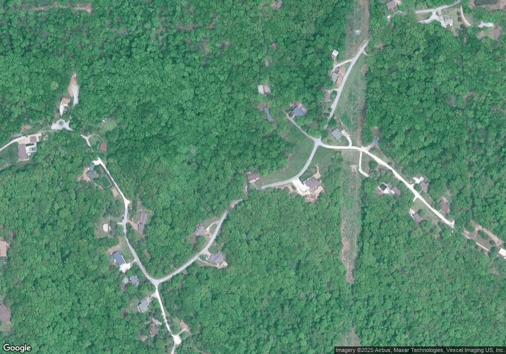
Map
Nearby Homes
- 3456 Wedde Rd
- 0 Wedde Rd
- 3897 Upper Moss Hollow Rd
- 4323 Old Trail
- 4598 Schenk Rd
- 3544 Antonia Woods Dr
- 7577 Sheppard Dr
- 6606 Old Lemay Ferry Rd
- 3152 Alpine Hills Dr
- 8819 Helujon Acres Dr
- 0 Wooded Acres
- 4844 Walmar Rd
- 6420 Glennsway Dr
- Amanda Plan at Antonia Estates
- Kayla Plan at Antonia Estates
- Marylyn Plan at Antonia Estates
- Madison Plan at Antonia Estates
- Julieann Plan at Antonia Estates
- Blake Plan at Antonia Estates
- Connor Plan at Antonia Estates
- 3840 Sierra Dr
- 3825 Sierra Dr
- 7627 Briarwood Ln
- 7604 Briarwood Ln
- 7626 Briarwood Ln
- 3797 Sierra Dr
- 7573 Briarwood Ln
- 7782 Ashwood Dr
- 3768 Sierra Dr
- 7555 Briarwood Ln
- 3769 Sierra Dr
- 3855 Sierra Dr
- 3750 Sierra Dr
- 7783 Ashwood Dr
- 7750 Ashwood Dr
- 0 Schenk Rd
- 7799 Ashwood Dr
- 7791 Ashwood Dr
- 7858 Ashwood Dr
- 7759 Ashwood Dr