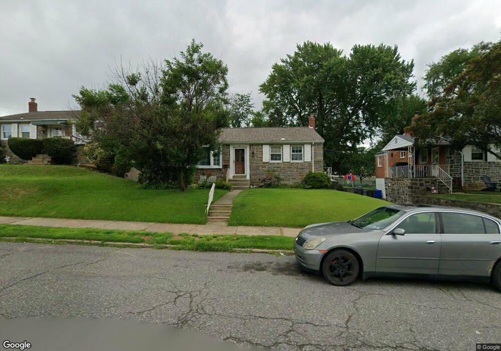
7611 Brous Ave Philadelphia, PA 19152
Rhawnhurst NeighborhoodEstimated Value: $367,328 - $430,000
--
Bed
--
Bath
1,494
Sq Ft
$265/Sq Ft
Est. Value
About This Home
This home is located at 7611 Brous Ave, Philadelphia, PA 19152 and is currently estimated at $395,832, approximately $264 per square foot. 7611 Brous Ave is a home located in Philadelphia County with nearby schools including Lincoln High School, Meehan Austin Middle School, and St. Matthew School.
Ownership History
Date
Name
Owned For
Owner Type
Purchase Details
Closed on
Aug 29, 2007
Sold by
Finor John M and Finor Theresa M
Bought by
Kitchell George D and Kitchell Esther
Current Estimated Value
Home Financials for this Owner
Home Financials are based on the most recent Mortgage that was taken out on this home.
Original Mortgage
$64,900
Outstanding Balance
$41,216
Interest Rate
6.63%
Mortgage Type
Purchase Money Mortgage
Estimated Equity
$354,616
Create a Home Valuation Report for This Property
The Home Valuation Report is an in-depth analysis detailing your home's value as well as a comparison with similar homes in the area
Home Values in the Area
Average Home Value in this Area
Purchase History
| Date | Buyer | Sale Price | Title Company |
|---|---|---|---|
| Kitchell George D | $279,900 | None Available |
Source: Public Records
Mortgage History
| Date | Status | Borrower | Loan Amount |
|---|---|---|---|
| Open | Kitchell George D | $64,900 |
Source: Public Records
Tax History Compared to Growth
Tax History
| Year | Tax Paid | Tax Assessment Tax Assessment Total Assessment is a certain percentage of the fair market value that is determined by local assessors to be the total taxable value of land and additions on the property. | Land | Improvement |
|---|---|---|---|---|
| 2025 | $4,115 | $358,300 | $71,660 | $286,640 |
| 2024 | $4,115 | $358,300 | $71,660 | $286,640 |
| 2023 | $4,115 | $294,000 | $58,800 | $235,200 |
| 2022 | $2,983 | $249,000 | $58,800 | $190,200 |
| 2021 | $3,613 | $0 | $0 | $0 |
| 2020 | $3,613 | $0 | $0 | $0 |
| 2019 | $3,498 | $0 | $0 | $0 |
| 2018 | $2,637 | $0 | $0 | $0 |
| 2017 | $3,057 | $0 | $0 | $0 |
| 2016 | $2,637 | $0 | $0 | $0 |
| 2015 | $2,525 | $0 | $0 | $0 |
| 2014 | -- | $218,400 | $66,828 | $151,572 |
| 2012 | -- | $30,816 | $8,054 | $22,762 |
Source: Public Records
Map
Nearby Homes
- 7703 Brous Ave
- 7722 Fairfield St
- 2547 Shelmire Ave
- 7525 Calvert St
- 7521 Calvert St
- 7914 Farnsworth St
- 7416 Revere St
- 7418 Revere St
- 2755 Rhawn St
- 2803 Rhawn St
- 2727 Rhawn St
- 2727 Rhawn St Unit 7AB
- 3036 Nesper St
- 2345 Ripley St
- 8130 Farnsworth St
- 3011 Teesdale St
- 2301 Ripley St
- 7815 Horrocks St
- 8142 Lister St
- 2302 Rhawn St
- 7609 Brous Ave
- 7613 Brous Ave
- 2904 Carnwath St
- 7607 Brous Ave
- 2906 Carnwath St
- 7605 Brous Ave
- 7701 Brous Ave
- 7614 Brous Ave
- 7700 Lister St
- 7608 Brous Ave
- 2908 Carnwath St
- 7603 Brous Ave
- 7606 Brocklehurst St
- 7604 Brocklehurst St
- 7608 Brocklehurst St
- 7702 Lister St
- 7610 Brocklehurst St
- 7611 Revere St
- 7702 Brous Ave
- 2910 Carnwath St