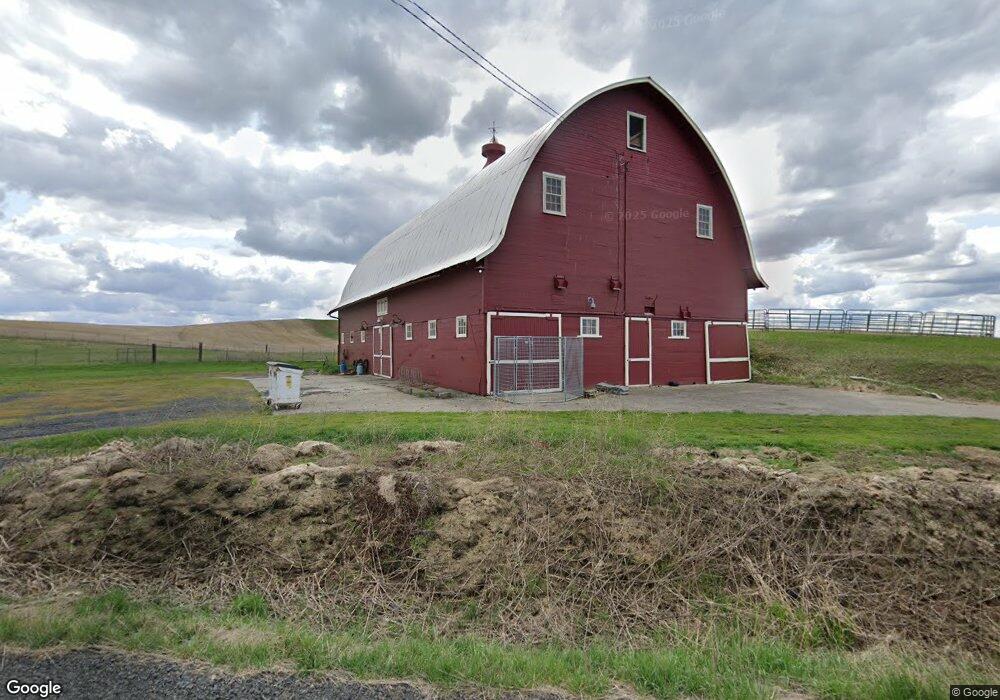
7611 E Spangle Waverly Rd Spangle, WA 99031
Estimated Value: $409,000 - $710,000
5
Beds
2
Baths
1,991
Sq Ft
$294/Sq Ft
Est. Value
About This Home
This home is located at 7611 E Spangle Waverly Rd, Spangle, WA 99031 and is currently estimated at $585,765, approximately $294 per square foot. 7611 E Spangle Waverly Rd is a home located in Spokane County with nearby schools including Liberty Elementary/Junior High School, Liberty High School, and Upper Columbia Academy - Elementary School.
Ownership History
Date
Name
Owned For
Owner Type
Purchase Details
Closed on
Apr 18, 2012
Sold by
Hancock Lucinda M
Bought by
Hancock Lucinda M and Hancock Living Trust
Current Estimated Value
Purchase Details
Closed on
Jan 29, 2010
Sold by
Ford Mark F and Ford Verlaine A
Bought by
Hancock Lucinda M
Purchase Details
Closed on
Dec 15, 2003
Sold by
Sievers Robert R and Sievers Janice A
Bought by
Ford Mark F and Ford Verlaine A
Create a Home Valuation Report for This Property
The Home Valuation Report is an in-depth analysis detailing your home's value as well as a comparison with similar homes in the area
Purchase History
| Date | Buyer | Sale Price | Title Company |
|---|---|---|---|
| Hancock Lucinda M | -- | None Available | |
| Hancock Lucinda M | $169,580 | None Available | |
| Ford Mark F | -- | First American Title Ins |
Source: Public Records
Tax History
| Year | Tax Paid | Tax Assessment Tax Assessment Total Assessment is a certain percentage of the fair market value that is determined by local assessors to be the total taxable value of land and additions on the property. | Land | Improvement |
|---|---|---|---|---|
| 2025 | $3,694 | $486,070 | $116,070 | $370,000 |
| 2024 | $3,694 | $434,970 | $108,570 | $326,400 |
| 2023 | $3,425 | $438,050 | $92,250 | $345,800 |
| 2022 | $3,482 | $421,050 | $92,250 | $328,800 |
| 2021 | $3,236 | $300,900 | $58,000 | $242,900 |
| 2020 | $3,022 | $272,570 | $57,070 | $215,500 |
| 2019 | $2,683 | $258,090 | $49,390 | $208,700 |
| 2018 | $2,507 | $204,710 | $43,410 | $161,300 |
| 2017 | $2,397 | $202,460 | $41,160 | $161,300 |
| 2016 | $1,971 | $181,360 | $41,160 | $140,200 |
| 2015 | $2,066 | $181,360 | $41,160 | $140,200 |
| 2014 | -- | $177,960 | $41,160 | $136,800 |
| 2013 | -- | $0 | $0 | $0 |
Source: Public Records
Map
Nearby Homes
- 32311 S North Pine Creek Rd
- 11900 E Hays Rd Unit Lot A - Parcel 9030
- 0 Unassigned Address Rd Unit SAR202513397
- XXXXX Vacant Land
- 3703 Plaza Rd
- 365 N Pine St
- Lot 2 Nka Cheney Spangle Rd Unit Parcel 32085.9041
- XXX E Cornwall Rd
- 3013 E Watt Rd
- 1112 E Jennings Rd
- XX Vacant Land
- 209 E Ticknor St
- 1403 W Jennings Rd
- 102 E Cameron Rd
- 21608 S Mill Rd
- 20xxx S Parker Rd
- 101 Kelsey Rd
- 4408 E Spangle Creek Rd
- 22711 S Gateway Ln
- 27711 S Cheney Spangle Rd
- 000 E Spangle Waverly Rd
- 6919 E Spangle Waverly Rd
- 6810 E Spangle Waverly Rd
- 0 E Spangle Waverly Rd
- X E Spangle Waverly Rd
- 29515 S North Kentuck Trails Rd
- 29011 S North Kentuck Trails Rd
- 30812 S Cahill Rd
- 30115 S North Pine Creek Rd
- 30114 S North Pine Creek Rd
- 31716 S Dunn Rd
- 29212 S North Kentuck Trails Rd
- 29212 N Kentuck Trails Rd
Your Personal Tour Guide
Ask me questions while you tour the home.