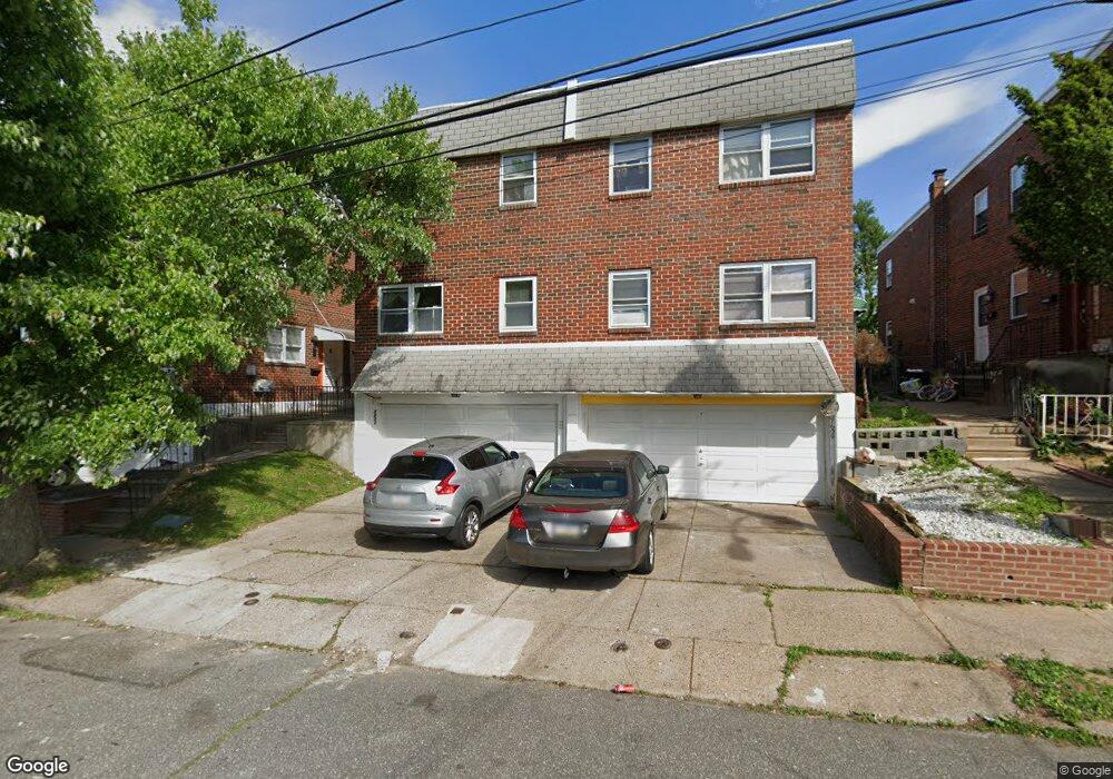
7613 Horrocks St Philadelphia, PA 19152
Rhawnhurst NeighborhoodEstimated Value: $311,000 - $491,134
--
Bed
--
Bath
1,800
Sq Ft
$224/Sq Ft
Est. Value
About This Home
This home is located at 7613 Horrocks St, Philadelphia, PA 19152 and is currently estimated at $403,045, approximately $223 per square foot. 7613 Horrocks St is a home with nearby schools including Rhawnhurst School, Castor Gardens Middle School, and Northeast High School.
Ownership History
Date
Name
Owned For
Owner Type
Purchase Details
Closed on
Dec 30, 1999
Sold by
Taylor John H and Talor Michael J
Bought by
Terletsky Ivan and Pupin Galyna
Current Estimated Value
Home Financials for this Owner
Home Financials are based on the most recent Mortgage that was taken out on this home.
Original Mortgage
$95,400
Outstanding Balance
$30,311
Interest Rate
7.84%
Mortgage Type
Commercial
Estimated Equity
$372,734
Create a Home Valuation Report for This Property
The Home Valuation Report is an in-depth analysis detailing your home's value as well as a comparison with similar homes in the area
Home Values in the Area
Average Home Value in this Area
Purchase History
| Date | Buyer | Sale Price | Title Company |
|---|---|---|---|
| Terletsky Ivan | $106,000 | -- |
Source: Public Records
Mortgage History
| Date | Status | Borrower | Loan Amount |
|---|---|---|---|
| Open | Terletsky Ivan | $95,400 |
Source: Public Records
Tax History Compared to Growth
Tax History
| Year | Tax Paid | Tax Assessment Tax Assessment Total Assessment is a certain percentage of the fair market value that is determined by local assessors to be the total taxable value of land and additions on the property. | Land | Improvement |
|---|---|---|---|---|
| 2025 | $4,176 | $398,500 | $79,700 | $318,800 |
| 2024 | $4,176 | $398,500 | $79,700 | $318,800 |
| 2023 | $4,176 | $298,300 | $59,660 | $238,640 |
| 2022 | $2,963 | $298,300 | $59,660 | $238,640 |
| 2021 | $2,963 | $0 | $0 | $0 |
| 2020 | $2,963 | $0 | $0 | $0 |
| 2019 | $2,776 | $0 | $0 | $0 |
| 2018 | $2,550 | $0 | $0 | $0 |
| 2017 | $2,550 | $0 | $0 | $0 |
| 2016 | $2,550 | $0 | $0 | $0 |
| 2015 | $2,441 | $0 | $0 | $0 |
| 2014 | -- | $182,200 | $35,356 | $146,844 |
| 2012 | -- | $26,816 | $2,464 | $24,352 |
Source: Public Records
Map
Nearby Homes
- 2120 Napfle St
- 7815 Horrocks St
- 2023 Hartel Ave
- 1919 Lansing St
- 7414 Castor Ave
- 7528 Loretto Ave
- 2123 Loney St
- 1834 Lansing St
- 1858 Glendale Ave
- 1824 Afton St
- 2029 Loney St
- 1821 Afton St
- 1826 Hartel Ave
- 7525 Calvert St
- 1917 Griffith St
- 7521 Calvert St
- 2301 Ripley St
- 1807 Napfle Ave
- 1805 Faunce St
- 7912 14 Loretto Ave
- 7615 Horrocks St
- 7611 Horrocks St
- 7609 Horrocks St
- 2210 Afton St Unit 12
- 7607 Horrocks St
- 7619 Horrocks St
- 7605 Horrocks St
- 7621 Horrocks St
- 2136 Afton St
- 7603 Horrocks St
- 2216 Afton St
- 2209 Afton St
- 7623 Horrocks St
- 7601 Horrocks St
- 2209 Faunce St
- 2137 Faunce St
- 2132 Afton St
- 7625 Horrocks St
- 2211 Afton St
- 2137 Afton St