7613 N 387 Rd Locust Grove, OK 74352
Estimated Value: $148,000 - $429,000
3
Beds
1
Bath
936
Sq Ft
$308/Sq Ft
Est. Value
About This Home
This home is located at 7613 N 387 Rd, Locust Grove, OK 74352 and is currently estimated at $288,500, approximately $308 per square foot. 7613 N 387 Rd is a home located in Cherokee County with nearby schools including Locust Grove Early Lrning Center, Locust Grove Upper Elementary School, and Locust Grove Middle School.
Ownership History
Date
Name
Owned For
Owner Type
Purchase Details
Closed on
Jan 11, 2021
Sold by
Rutherford Jennifer R and Georgie J Anderson Living Trus
Bought by
Rutherford Jennifer R and Rutherford Jonathan W
Current Estimated Value
Purchase Details
Closed on
Apr 27, 2019
Sold by
Anderson Georgie J
Bought by
The Georgie J Anderson Living Trust
Purchase Details
Closed on
Apr 4, 2019
Sold by
Anderson Georgie J
Bought by
The Georgie J Anderson Living Trust
Purchase Details
Closed on
Dec 20, 2004
Sold by
Fannie Mae Anderson
Bought by
Theodore Anderson
Create a Home Valuation Report for This Property
The Home Valuation Report is an in-depth analysis detailing your home's value as well as a comparison with similar homes in the area
Home Values in the Area
Average Home Value in this Area
Purchase History
| Date | Buyer | Sale Price | Title Company |
|---|---|---|---|
| Rutherford Jennifer R | -- | None Available | |
| The Georgie J Anderson Living Trust | -- | None Available | |
| The Georgie J Anderson Living Trust | -- | None Available | |
| Theodore Anderson | -- | -- |
Source: Public Records
Tax History Compared to Growth
Tax History
| Year | Tax Paid | Tax Assessment Tax Assessment Total Assessment is a certain percentage of the fair market value that is determined by local assessors to be the total taxable value of land and additions on the property. | Land | Improvement |
|---|---|---|---|---|
| 2024 | $268 | $3,833 | $673 | $3,160 |
| 2023 | $257 | $3,722 | $653 | $3,069 |
| 2022 | $245 | $3,613 | $631 | $2,982 |
| 2021 | $144 | $3,508 | $600 | $2,908 |
| 2020 | $137 | $3,405 | $569 | $2,836 |
| 2019 | $137 | $3,405 | $569 | $2,836 |
| 2018 | $139 | $3,405 | $569 | $2,836 |
| 2017 | $139 | $3,405 | $569 | $2,836 |
| 2016 | $136 | $3,405 | $569 | $2,836 |
| 2015 | $321 | $3,405 | $569 | $2,836 |
| 2014 | $321 | $3,306 | $542 | $2,764 |
Source: Public Records
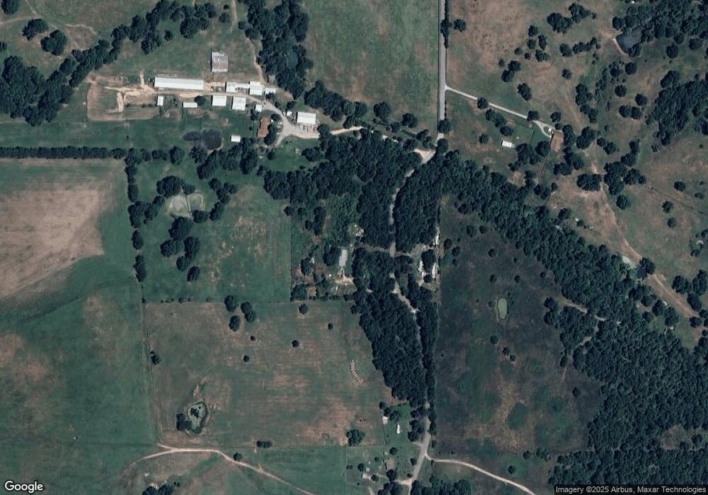
Map
Nearby Homes
- 14209 S 439
- 0 Rural Route Unit 25-1842
- 0 Rural Route Unit 2536190
- 8465 W 660 Rd
- 8465 W 660 Rd Hulbert Unit OK 74441
- 58 Oak
- 0 S 4409 Rd
- 34190 E 651 Way
- 5580 E 610 Rd
- 0 650 Rd E Unit 25-1213
- Lake Crest
- Lake Crest
- 10223 W 670 Rd
- E E 651 Rd
- S S 337 Rd
- 33684 E 650 Dr
- 8683 N 436 Rd
- 12754 S 442 Rd
- 0 S 043 Rd Unit 2512653
- 7167 E 618 Rd
- 7505 N 387 Rd
- 7506 N 387 Rd
- 7759 N 387 Rd
- 7748 N 387 Rd
- 7166 N 387 Rd
- 5573 W 660 Rd
- 8094 N 387 Rd
- 5503 W 660 Rd
- 8209 N 387 Rd
- 7019 N 387 Rd
- 0 E 650 Rd Unit 2113391
- 0 E 650 Rd Unit 2113394
- 0 E 650 Rd Unit 2138147
- 0 E 650 Rd Unit 2138144
- 0 Hwy 62 Hwy Unit 1527874
- 3879 E 650 Rd
- 8401 N 387 Rd
- 5055 W 664 Rd