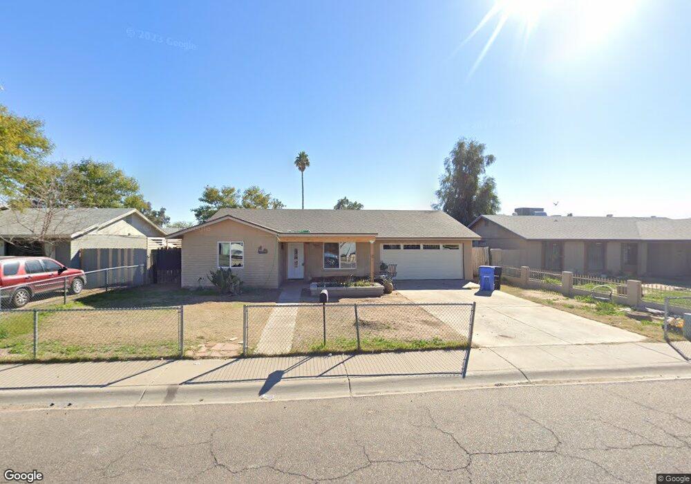
7613 W Mackenzie Dr Phoenix, AZ 85033
Estimated Value: $269,438 - $375,000
About This Home
This home is located at 7613 W Mackenzie Dr, Phoenix, AZ 85033 and is currently estimated at $337,110, approximately $218 per square foot. 7613 W Mackenzie Dr is a home located in Maricopa County with nearby schools including Tomahawk School, Estrella Middle School, and Trevor Browne High School.
Ownership History
We collect this data history from publicly available records. To have your information removed, we recommend requesting removal directly through your county’s website.
Purchase Details
Home Financials for this Owner
Home Financials are based on the most recent Mortgage that was taken out on this home.Purchase Details
Home Financials for this Owner
Home Financials are based on the most recent Mortgage that was taken out on this home.Purchase Details
Purchase Details
Purchase Details
Home Financials for this Owner
Home Financials are based on the most recent Mortgage that was taken out on this home.Purchase Details
Purchase History
We collect this data history from publicly available records. To have your information removed, we recommend requesting removal directly through your county’s website.
| Date | Buyer | Sale Price | Title Company |
|---|---|---|---|
| $117,000 | Security Title Agency | ||
| -- | Security Title Agency | ||
| $94,900 | -- | ||
| $85,000 | Capital Title Agency | ||
| -- | -- | ||
| -- | Grand Canyon Title Agency In | ||
| -- | Grand Canyon Title |
Mortgage History
We collect this data history from publicly available records. To have your information removed, we recommend requesting removal directly through your county’s website.
| Date | Status | Borrower | Loan Amount |
|---|---|---|---|
| Open | $103,700 | ||
| Closed | $10,000 | ||
| Previous Owner | $60,501 |
Tax History
We collect this data history from publicly available records. To have your information removed, we recommend requesting removal directly through your county’s website.
| Year | Tax Paid | Tax Assessment Tax Assessment Total Assessment is a certain percentage of the fair market value that is determined by local assessors to be the total taxable value of land and additions on the property. | Land | Improvement |
|---|---|---|---|---|
| 2025 | $1,170 | $7,337 | -- | -- |
| 2024 | $1,167 | $6,988 | -- | -- |
| 2023 | $1,167 | $23,550 | $4,710 | $18,840 |
| 2022 | $1,095 | $18,530 | $3,700 | $14,830 |
| 2021 | $1,118 | $16,820 | $3,360 | $13,460 |
| 2020 | $1,055 | $15,470 | $3,090 | $12,380 |
| 2019 | $1,007 | $13,600 | $2,720 | $10,880 |
| 2018 | $1,053 | $12,570 | $2,510 | $10,060 |
| 2017 | $1,004 | $10,550 | $2,110 | $8,440 |
| 2016 | $959 | $9,050 | $1,810 | $7,240 |
| 2015 | $884 | $8,000 | $1,600 | $6,400 |
Map
- 7509 W Devonshire Ave
- 4138 N 79th Ave
- 7742 W Fairmount Ave
- 7665 W Minnezona Ave
- 4057 N 79th Dr
- 7346 W Glenrosa Ave
- 7619 W Clarendon Ave
- 7339 W Montecito Ave
- 7957 W Glenrosa Ave
- 7965 W Montecito Ave
- 7922 W Clayton Dr
- 7616 W Mitchell Dr
- 4202 N 72nd Ln
- 4537 N 79th Ave Unit 11
- 3802 N 79th Ave
- 7732 W Mitchell Dr
- 4348 N 80th Dr
- 7937 W Meadowbrook Ave
- 8048 W Glenrosa Ave
- 8109 W Montecito Ave
- 7608 W Devonshire Ave Unit 2
- 7612 W Devonshire Ave
- 7602 W Devonshire Ave
- 7609 W Mackenzie Dr
- 7619 W Mackenzie Dr
- 7618 W Devonshire Ave
- 7556 W Devonshire Ave
- 7601 W Mackenzie Dr
- 7609 W Devonshire Ave
- 7601 W Devonshire Ave
- 7623 W Mackenzie Dr
- 7622 W Devonshire Ave
- 7559 W Mackenzie Dr
- 7619 W Devonshire Ave
- 7554 W Devonshire Ave Unit 2
- 7555 W Devonshire Ave
- 7629 W Mackenzie Dr
- 7610 W Mackenzie Dr
- 7614 W Mackenzie Dr
- 7623 W Devonshire Ave
Ask me questions while you tour the home.