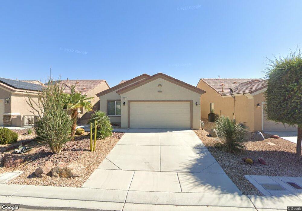
7616 Wingspread St North Las Vegas, NV 89084
Aliante NeighborhoodEstimated Value: $368,000 - $384,000
3
Beds
2
Baths
1,420
Sq Ft
$265/Sq Ft
Est. Value
About This Home
This home is located at 7616 Wingspread St, North Las Vegas, NV 89084 and is currently estimated at $376,846, approximately $265 per square foot. 7616 Wingspread St is a home located in Clark County with nearby schools including Vincent L. Triggs Elementary School, Anthony Saville Middle School, and Shadow Ridge High School.
Ownership History
Date
Name
Owned For
Owner Type
Purchase Details
Closed on
Jan 11, 2007
Sold by
Noder Paul B and Noder Doreen W
Bought by
Noder Paul B and Noder Doreen W
Current Estimated Value
Purchase Details
Closed on
Jul 20, 2006
Sold by
Pn Ii Inc
Bought by
Noder Paul B and Noder Doreen W
Home Financials for this Owner
Home Financials are based on the most recent Mortgage that was taken out on this home.
Original Mortgage
$125,000
Outstanding Balance
$74,086
Interest Rate
6.62%
Mortgage Type
Unknown
Estimated Equity
$302,760
Create a Home Valuation Report for This Property
The Home Valuation Report is an in-depth analysis detailing your home's value as well as a comparison with similar homes in the area
Home Values in the Area
Average Home Value in this Area
Purchase History
| Date | Buyer | Sale Price | Title Company |
|---|---|---|---|
| Noder Paul B | -- | None Available | |
| Noder Paul B | $269,603 | Lawyers Title Of Nevada |
Source: Public Records
Mortgage History
| Date | Status | Borrower | Loan Amount |
|---|---|---|---|
| Open | Noder Paul B | $125,000 |
Source: Public Records
Tax History Compared to Growth
Tax History
| Year | Tax Paid | Tax Assessment Tax Assessment Total Assessment is a certain percentage of the fair market value that is determined by local assessors to be the total taxable value of land and additions on the property. | Land | Improvement |
|---|---|---|---|---|
| 2025 | $1,864 | $95,799 | $26,600 | $69,199 |
| 2024 | $1,810 | $95,799 | $26,600 | $69,199 |
| 2023 | $1,474 | $93,829 | $28,595 | $65,234 |
| 2022 | $1,758 | $83,938 | $24,605 | $59,333 |
| 2021 | $1,706 | $78,295 | $21,945 | $56,350 |
| 2020 | $1,650 | $76,971 | $21,280 | $55,691 |
| 2019 | $1,602 | $74,022 | $19,285 | $54,737 |
| 2018 | $1,555 | $67,790 | $15,295 | $52,495 |
| 2017 | $2,155 | $63,370 | $11,200 | $52,170 |
| 2016 | $1,474 | $61,889 | $9,800 | $52,089 |
| 2015 | $1,470 | $49,911 | $7,840 | $42,071 |
| 2014 | $1,427 | $42,328 | $5,600 | $36,728 |
Source: Public Records
Map
Nearby Homes
- 2508 Mourning Warbler Ave
- 7556 Wingspread St
- 7465 Widewing Dr
- 7757 Coast Jay St
- 7464 Chipping Sparrow St
- 7751 Widewing Dr
- 7713 Songster St
- 7831 Nestor Creek Ln
- 7543 Marie Brook Ln
- 7773 Wading Bird Way
- 7429 Widewing Dr
- 7469 Crested Quail St
- 7509 Chaffinch St
- 7817 Starthroat Ct Unit 8
- 2525 Great Auk Ave
- 7460 Chaffinch St
- 2509 Great Auk Ave
- 7617 Fieldfare Dr
- 7824 Starthroat Ct
- 7511 Phoenix Falls St
- 7612 Wingspread St
- 7624 Wingspread St
- 7608 Wingspread St
- 2409 Mourning Warbler Ave
- 2409 Mourning Warbler Ave Unit na
- 7604 Wingspread St
- 7625 Wingspread St
- 7629 Wingspread St
- 7621 Wingspread St
- 7621 Wingspread St Unit na
- 7633 Wingspread St
- 7617 Wingspread St
- 2380 Yellow Bird Ct
- 7613 Wingspread St
- 2405 Mourning Warbler Ave
- 2428 Mourning Warbler Ave
- 2420 Mourning Warbler Ave
- 2432 Mourning Warbler Ave
- 2416 Mourning Warbler Ave
- 2504 Mourning Warbler Ave