7617 Carter Rd Moss Point, MS 39562
Estimated Value: $173,000 - $240,000
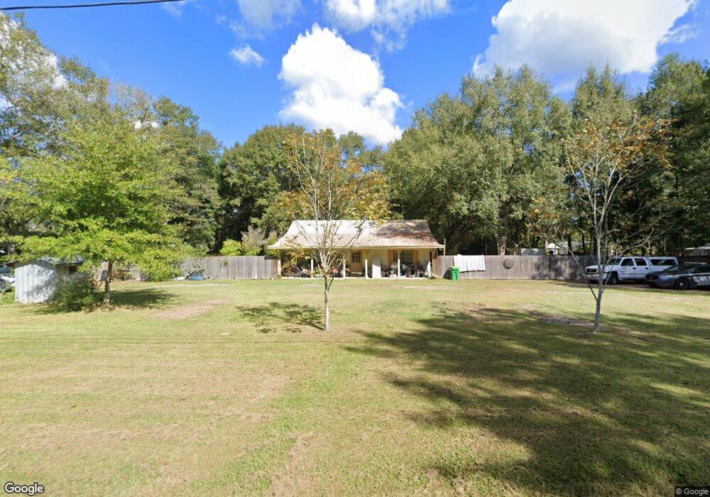
About This Home
This home is located at 7617 Carter Rd, Moss Point, MS 39562 and is currently estimated at $202,985, approximately $133 per square foot. 7617 Carter Rd is a home located in Jackson County with nearby schools including East Central Lower Elementary School, East Central Upper Elementary School, and East Central Middle School.
Ownership History
We collect this data history from publicly available records. To have your information removed, we recommend requesting removal directly through your county’s website.
Purchase Details
Home Financials for this Owner
Home Financials are based on the most recent Mortgage that was taken out on this home.Purchase Details
Purchase History
We collect this data history from publicly available records. To have your information removed, we recommend requesting removal directly through your county’s website.
| Date | Buyer | Sale Price | Title Company |
|---|---|---|---|
| -- | None Available | ||
| -- | -- |
Mortgage History
We collect this data history from publicly available records. To have your information removed, we recommend requesting removal directly through your county’s website.
| Date | Status | Borrower | Loan Amount |
|---|---|---|---|
| Open | $59,850 |
Tax History
We collect this data history from publicly available records. To have your information removed, we recommend requesting removal directly through your county’s website.
| Year | Tax Paid | Tax Assessment Tax Assessment Total Assessment is a certain percentage of the fair market value that is determined by local assessors to be the total taxable value of land and additions on the property. | Land | Improvement |
|---|---|---|---|---|
| 2025 | $110 | $9,860 | $1,035 | $8,825 |
| 2024 | $110 | $8,427 | $1,007 | $7,420 |
| 2023 | $111 | $8,427 | $1,007 | $7,420 |
| 2022 | $108 | $8,427 | $1,007 | $7,420 |
| 2021 | $116 | $8,491 | $1,007 | $7,484 |
| 2020 | $1,397 | $11,564 | $1,398 | $10,166 |
| 2019 | $1,382 | $11,564 | $1,398 | $10,166 |
| 2018 | $1,409 | $11,564 | $1,398 | $10,166 |
| 2017 | $1,438 | $11,606 | $1,398 | $10,208 |
| 2016 | $1,381 | $11,606 | $1,398 | $10,208 |
| 2015 | $1,279 | $71,270 | $9,320 | $61,950 |
| 2014 | $1,271 | $10,815 | $1,398 | $9,417 |
| 2013 | $1,234 | $10,869 | $1,506 | $9,363 |
Map
- 0 Ms-613 Hwy Unit 4107607
- 0 Ms-613 Hwy Unit 4107612
- 14004 Ann Rd
- 13915 Ann Rd
- 14015 Lily Orchard Rd
- 0 Perry St
- 13704 Coleman St
- 17500 Goff Farm Rd
- 26.1 Acres Brinkman Rd E
- 14200 Timber Ridge Dr
- 0 Rayford Shumock Rd Unit 24406728
- 0 Rayford Shumock Rd Unit 4121875
- 17713 Highway 613
- 7201 Bentwood Dr
- 6312 Bond Hill Rd
- 12205 Deer Cir
- 0 Constitution
- 12601 Berkley Rd
- 0 Nhn Forts Lake Rd
- 0 Greenfields Rd Unit 4149793
- 7521 Carter Rd
- 7517 Carter's Rd
- 7517 Carter Rd
- 15013 Curtis Smith Rd
- 15112 Ike Brownlow Rd
- 7700 Carter Rd
- 15109 Ike Brownlow Rd
- 15109 Curtis Smith Rd
- 7729 Carter Rd
- 0 Carters Rd Unit 3257564
- 15111 Curtis Smith Rd
- 7733 Carter Rd
- 15107 Charles Williams Rd
- 15100 Charles Williams Rd
- 15109 Charles Williams Rd
- 7408 Carter Rd
- 15117 Curtis Smith Rd
- 7480 Carlos Keyes Rd
- 15135 Curtis Smith Rd
- 15132 Curtis Smith Rd
Ask me questions while you tour the home.