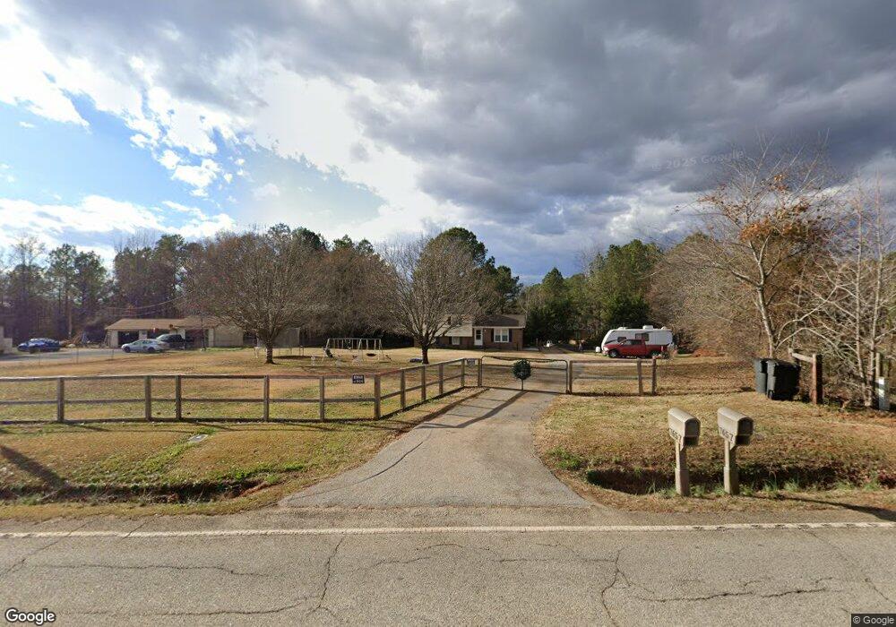
7617 Parris Bridge Rd Chesnee, SC 29323
Estimated Value: $311,000 - $318,000
1
Bed
1
Bath
576
Sq Ft
$545/Sq Ft
Est. Value
About This Home
This home is located at 7617 Parris Bridge Rd, Chesnee, SC 29323 and is currently estimated at $313,738, approximately $544 per square foot. 7617 Parris Bridge Rd is a home with nearby schools including Chesnee Middle School and Chesnee High School.
Ownership History
Date
Name
Owned For
Owner Type
Purchase Details
Closed on
Jul 17, 2007
Sold by
Allen Edward D and Allen Jocelle A
Bought by
Mangum Kevin and Mangum Michele
Current Estimated Value
Home Financials for this Owner
Home Financials are based on the most recent Mortgage that was taken out on this home.
Original Mortgage
$84,000
Outstanding Balance
$52,913
Interest Rate
6.65%
Mortgage Type
Unknown
Estimated Equity
$260,825
Purchase Details
Closed on
Sep 30, 2005
Sold by
Allen Edward Dudley
Bought by
Allen Edward D and Allen Jocelle A
Purchase Details
Closed on
Mar 22, 2004
Sold by
Allen Edward D and Allen Jocelle A
Bought by
Allen Edward Dudley
Create a Home Valuation Report for This Property
The Home Valuation Report is an in-depth analysis detailing your home's value as well as a comparison with similar homes in the area
Home Values in the Area
Average Home Value in this Area
Purchase History
| Date | Buyer | Sale Price | Title Company |
|---|---|---|---|
| Mangum Kevin | $98,880 | None Available | |
| Allen Edward D | -- | -- | |
| Allen Edward Dudley | -- | -- |
Source: Public Records
Mortgage History
| Date | Status | Borrower | Loan Amount |
|---|---|---|---|
| Open | Mangum Kevin | $84,000 |
Source: Public Records
Tax History Compared to Growth
Tax History
| Year | Tax Paid | Tax Assessment Tax Assessment Total Assessment is a certain percentage of the fair market value that is determined by local assessors to be the total taxable value of land and additions on the property. | Land | Improvement |
|---|---|---|---|---|
| 2025 | $505 | $24,390 | $604 | $23,786 |
| 2024 | $505 | $2,757 | $293 | $2,464 |
| 2023 | $505 | $2,757 | $293 | $2,464 |
| 2022 | $457 | $2,404 | $216 | $2,188 |
| 2021 | $457 | $2,403 | $76 | $2,327 |
| 2020 | $76 | $205 | $53 | $152 |
| 2019 | $76 | $205 | $53 | $152 |
| 2018 | $56 | $156 | $53 | $103 |
| 2017 | $71 | $197 | $53 | $144 |
| 2016 | $71 | $197 | $53 | $144 |
| 2015 | $71 | $197 | $53 | $144 |
| 2014 | $71 | $197 | $53 | $144 |
Source: Public Records
Map
Nearby Homes
- 351 Smith Wall Rd
- 0 Cantrell Dr
- 107 Brooklyn Church Rd
- 190 Clement Rd
- 202 Arrowood Branch Rd
- 140 Manor House Ln
- 291 Robbins Rd
- 1543 Highway 11 W
- 569 State Road S-42-1879
- 565 State Road S-42-1879
- 561 State Road S-42-1879
- 545 State Road S-42-1879
- 537 State Road S-42-1879
- 229 Holly Rd
- 0 State Road S-42-1879
- 402 Dodger Ave
- 407 Dodger Ave
- 411 Dodger Ave
- 410 Dodger Ave
- 415 Dodger Ave
- 7657 Parris Bridge Rd
- 7651 Parris Bridge Rd
- 7650 Parris Bridge Rd
- 624 Raytown Dr
- 7610 Parris Bridge Rd
- 7720 Parris Bridge Rd
- 7585 Parris Bridge Rd
- 7605 Parris Bridge Rd
- 7743 Parris Bridge Rd
- 7740 Parris Bridge Rd
- 7570 Parris Bridge Rd Unit 7570
- 459 Smith Wall Rd
- 7553 Parris Bridge Rd
- 7775 Parris Bridge Rd
- 450 Smith Wall Rd
- 7760 Parris Bridge Rd
- 7771 Parris Bridge Rd
- 7552 Parris Bridge Rd
- 7551 Parris Bridge Rd
- 447 Smith Wall Rd