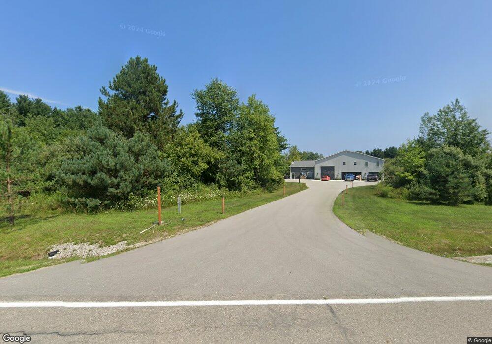
7618 State Rd Burtchville, MI 48059
Estimated Value: $958,000 - $1,062,734
Studio
--
Bath
3,680
Sq Ft
$275/Sq Ft
Est. Value
About This Home
This home is located at 7618 State Rd, Burtchville, MI 48059 and is currently estimated at $1,010,367, approximately $274 per square foot. 7618 State Rd is a home with nearby schools including Edison Elementary School, Fort Gratiot Middle School, and Port Huron Northern High School.
Ownership History
Date
Name
Owned For
Owner Type
Purchase Details
Closed on
Apr 26, 2021
Sold by
Postill Makenna Rae
Bought by
Postill Makenna Rae and Postill Laura A
Current Estimated Value
Purchase Details
Closed on
Jul 27, 2020
Sold by
Clark A Russell And Stella Russell Trust
Bought by
Postill Makenna Rae
Create a Home Valuation Report for This Property
The Home Valuation Report is an in-depth analysis detailing your home's value as well as a comparison with similar homes in the area
Home Values in the Area
Average Home Value in this Area
Purchase History
| Date | Buyer | Sale Price | Title Company |
|---|---|---|---|
| Postill Makenna Rae | -- | None Available | |
| Postill Makenna Rae | $50,000 | Liberty Title | |
| Postill Makenna Rae | $50,000 | Liberty Title |
Source: Public Records
Tax History
| Year | Tax Paid | Tax Assessment Tax Assessment Total Assessment is a certain percentage of the fair market value that is determined by local assessors to be the total taxable value of land and additions on the property. | Land | Improvement |
|---|---|---|---|---|
| 2025 | $7,671 | $507,600 | $0 | $0 |
| 2024 | $7,442 | $468,800 | $0 | $0 |
| 2023 | $13,821 | $400,700 | $0 | $0 |
| 2022 | $10,541 | $230,600 | $0 | $0 |
| 2020 | $678 | $22,400 | $22,400 | $0 |
| 2019 | $666 | $22,400 | $0 | $0 |
| 2018 | $643 | $23,900 | $0 | $0 |
| 2017 | $616 | $23,900 | $0 | $0 |
| 2016 | $490 | $23,900 | $0 | $0 |
| 2015 | -- | $23,900 | $23,900 | $0 |
| 2014 | -- | $23,900 | $23,900 | $0 |
| 2013 | -- | $23,900 | $0 | $0 |
Source: Public Records
Map
Nearby Homes
- 3831 Beech St
- 3735 Haynes Ct
- TBD Harris Rd
- 3724 Shorewood Rd
- 7884 North Rd
- 0 Kimball (M25) Rd Unit 50181842
- 3855 Conifer Ct
- 7226 2nd St
- 3821 Myrtle Rd
- 4202 Norman Rd
- V/L Lakeshore Rd
- 6010 Indian
- 6026 Delaware Dr
- TBD Metcalf Rd
- 0 Mcintyre Rd Unit 50193698
- 0 Mcintyre Unit 50191499
- 5851 Lakeshore Rd
- 3055 Maplewood Dr
- 4452 Cole Rd
- 6015 Jeddo Rd
- 4184 Manning Dr
- 4197 Manning Dr
- 4245 Manning Dr
- 7559 State Rd
- 7621 State Rd
- 4155 Hillock Dr
- 7543 State Rd
- VL Manning Dr Unit Lot 3
- VL Manning Dr Unit Lot 2
- VL Manning Dr
- 4179 Manning Dr
- 7516 State Rd
- 4149 Hillock Dr
- 7527 State Rd
- 4165 Manning Dr
- 4172 Manning Dr
- 7511 State Rd
- 7669 State Rd
- 4133 Hillock Dr
- 7514 State Rd
Your Personal Tour Guide
Ask me questions while you tour the home.