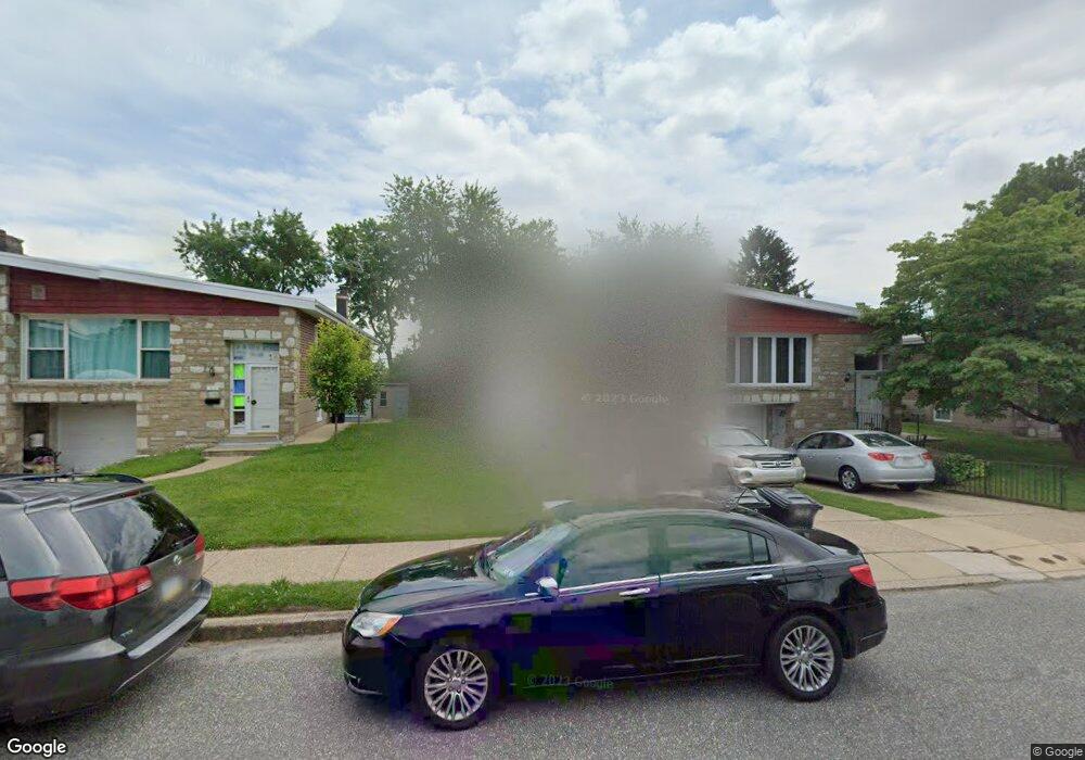
7619 Dorcas St Philadelphia, PA 19111
Fox Chase NeighborhoodEstimated Value: $299,767 - $348,000
--
Bed
--
Bath
1,296
Sq Ft
$257/Sq Ft
Est. Value
About This Home
This home is located at 7619 Dorcas St, Philadelphia, PA 19111 and is currently estimated at $332,692, approximately $256 per square foot. 7619 Dorcas St is a home located in Philadelphia County with nearby schools including Kennedy C. Crossan School, Castor Gardens Middle School, and Northeast High School.
Ownership History
Date
Name
Owned For
Owner Type
Purchase Details
Closed on
Feb 28, 2005
Sold by
Rubenstein Matthew and Rubenstein Allyson
Bought by
Goldman Simon and Goldman Rivka
Current Estimated Value
Purchase Details
Closed on
Jul 22, 2003
Sold by
Greenberg Matt J and Greenberg Marsha
Bought by
Rubenstein Matthew and Rubenstein Allyson
Home Financials for this Owner
Home Financials are based on the most recent Mortgage that was taken out on this home.
Original Mortgage
$118,750
Interest Rate
5.27%
Mortgage Type
Purchase Money Mortgage
Create a Home Valuation Report for This Property
The Home Valuation Report is an in-depth analysis detailing your home's value as well as a comparison with similar homes in the area
Home Values in the Area
Average Home Value in this Area
Purchase History
| Date | Buyer | Sale Price | Title Company |
|---|---|---|---|
| Goldman Simon | $195,000 | -- | |
| Rubenstein Matthew | $132,000 | -- |
Source: Public Records
Mortgage History
| Date | Status | Borrower | Loan Amount |
|---|---|---|---|
| Previous Owner | Rubenstein Matthew | $118,750 |
Source: Public Records
Tax History Compared to Growth
Tax History
| Year | Tax Paid | Tax Assessment Tax Assessment Total Assessment is a certain percentage of the fair market value that is determined by local assessors to be the total taxable value of land and additions on the property. | Land | Improvement |
|---|---|---|---|---|
| 2025 | $3,302 | $287,500 | $57,500 | $230,000 |
| 2024 | $3,302 | $287,500 | $57,500 | $230,000 |
| 2023 | $3,302 | $235,900 | $47,180 | $188,720 |
| 2022 | $2,359 | $190,900 | $47,180 | $143,720 |
| 2021 | $2,989 | $0 | $0 | $0 |
| 2020 | $2,989 | $0 | $0 | $0 |
| 2019 | $2,721 | $0 | $0 | $0 |
| 2018 | $2,356 | $0 | $0 | $0 |
| 2017 | $2,356 | $0 | $0 | $0 |
| 2016 | $1,936 | $0 | $0 | $0 |
| 2015 | $1,853 | $0 | $0 | $0 |
| 2014 | -- | $168,300 | $61,858 | $106,442 |
| 2012 | -- | $25,056 | $4,525 | $20,531 |
Source: Public Records
Map
Nearby Homes
- 7734 Langdon St
- 7714 Summerdale Ave
- 7735 Langdon St
- 7821 Anita Dr
- 1409 Faunce St
- 1412 Faunce St
- 7831 Lorna Dr
- 1340 Napfle Ave
- 7830 Summerdale Ave
- 7718 Whitaker Ave
- 7524 Whitaker Ave
- 7900 Algon Ave Unit A
- 1431-35 Vista St
- 1627 Borbeck Ave
- 7804 Whitaker Ave
- 1807 Napfle Ave
- 1819 Oakmont St
- 7836 Lorna Dr
- 1423 Bleigh Ave
- 1821 Afton St