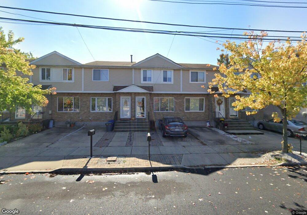
762 Barlow Ave Staten Island, NY 10312
Eltingville NeighborhoodEstimated Value: $549,000 - $611,000
2
Beds
2
Baths
1,116
Sq Ft
$523/Sq Ft
Est. Value
About This Home
This home is located at 762 Barlow Ave, Staten Island, NY 10312 and is currently estimated at $584,026, approximately $523 per square foot. 762 Barlow Ave is a home located in Richmond County with nearby schools including P.S. 42 The Eltingville School, I.S. 007 Elias Bernstein, and Tottenville High School.
Ownership History
Date
Name
Owned For
Owner Type
Purchase Details
Closed on
Apr 13, 1999
Sold by
Abiuso William P and Abiuso Rachel
Bought by
Saletto Marlene L
Current Estimated Value
Home Financials for this Owner
Home Financials are based on the most recent Mortgage that was taken out on this home.
Original Mortgage
$109,000
Interest Rate
7.19%
Purchase Details
Closed on
Aug 7, 1998
Sold by
Gallo John and Gallo Maryann
Bought by
Abiuso William P and Abiuso Rachel
Create a Home Valuation Report for This Property
The Home Valuation Report is an in-depth analysis detailing your home's value as well as a comparison with similar homes in the area
Home Values in the Area
Average Home Value in this Area
Purchase History
| Date | Buyer | Sale Price | Title Company |
|---|---|---|---|
| Saletto Marlene L | $149,000 | -- | |
| Abiuso William P | $134,000 | Commonwealth Land Title Ins |
Source: Public Records
Mortgage History
| Date | Status | Borrower | Loan Amount |
|---|---|---|---|
| Previous Owner | Saletto Marlene L | $109,000 |
Source: Public Records
Tax History Compared to Growth
Tax History
| Year | Tax Paid | Tax Assessment Tax Assessment Total Assessment is a certain percentage of the fair market value that is determined by local assessors to be the total taxable value of land and additions on the property. | Land | Improvement |
|---|---|---|---|---|
| 2025 | $4,665 | $33,900 | $3,742 | $30,158 |
| 2024 | $4,677 | $30,540 | $3,919 | $26,621 |
| 2023 | $4,665 | $24,624 | $3,620 | $21,004 |
| 2022 | $4,413 | $28,680 | $4,860 | $23,820 |
| 2021 | $4,549 | $29,220 | $4,860 | $24,360 |
| 2020 | $4,308 | $25,380 | $4,860 | $20,520 |
| 2019 | $4,000 | $27,540 | $4,860 | $22,680 |
| 2018 | $3,885 | $20,520 | $4,682 | $15,838 |
| 2017 | $3,700 | $19,620 | $4,860 | $14,760 |
| 2016 | $3,531 | $19,213 | $4,687 | $14,526 |
| 2015 | $2,977 | $18,126 | $3,825 | $14,301 |
| 2014 | $2,977 | $17,100 | $4,140 | $12,960 |
Source: Public Records
Map
Nearby Homes
- 775 Barlow Ave
- 774 Barlow Ave
- 731 Barlow Ave
- 682 Barlow Ave
- 71 Reading Ave
- 149 Crossfield Ave
- 226 Annadale Rd
- 56 Mcarthur Ave
- 50 Reading Ave
- 3 Gold Ave
- 102 Lovelace Ave
- 688 Leverett Ave Unit 8520
- 43 Watkins Ave
- 77 Wainwright Ave
- 621 Barlow Ave
- 622 Barlow Ave
- 110 Lovelace Ave
- 135 Mcarthur Ave
- 104 Berry Ave
- 156 Mcarthur Ave
- 760 Barlow Ave
- 764 Barlow Ave
- 758 Barlow Ave
- 766 Barlow Ave
- 756 Barlow Ave
- 768 Barlow Ave
- 770 Barlow Ave
- 17 Monterey Ave
- 19 Monterey Ave
- 772 Barlow Ave
- 15 Monterey Ave
- 21 Monterey Ave
- 23 Monterey Ave
- 761 Barlow Ave
- 746 Barlow Ave
- 25 Monterey Ave
- 776 Barlow Ave
- 744 Barlow Ave
- 27 Monterey Ave
- 188 Drumgoole Rd E