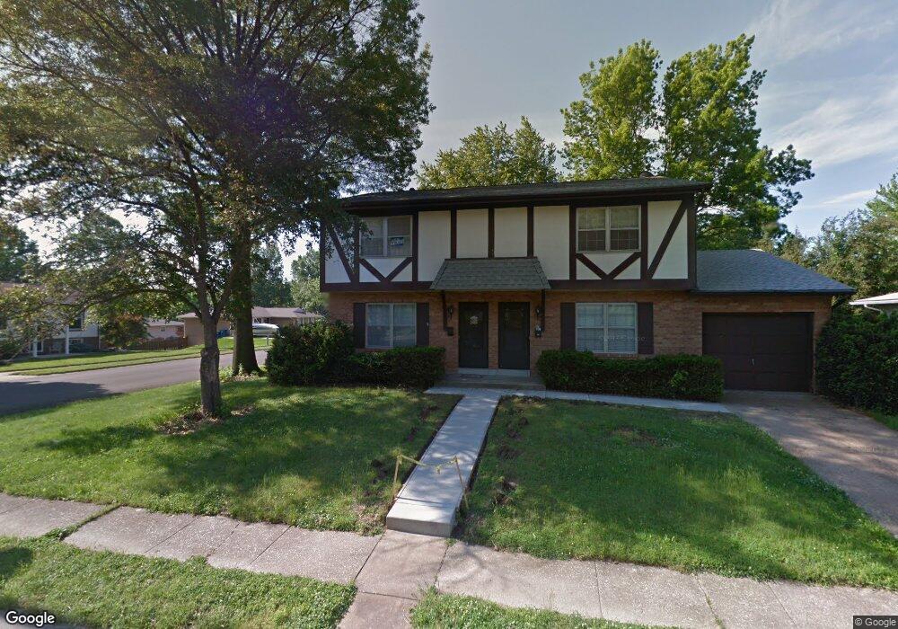
762 Harvard Dr Edwardsville, IL 62025
Estimated Value: $226,904 - $277,000
6
Beds
4
Baths
1,287
Sq Ft
$199/Sq Ft
Est. Value
About This Home
This home is located at 762 Harvard Dr, Edwardsville, IL 62025 and is currently estimated at $255,976, approximately $198 per square foot. 762 Harvard Dr is a home located in Madison County with nearby schools including LeClaire Elementary School, Columbus Elementary School, and Liberty Middle School.
Ownership History
Date
Name
Owned For
Owner Type
Purchase Details
Closed on
Jan 19, 2016
Sold by
Grist Arthur L and Grist Nancy J
Bought by
Novella Llc
Current Estimated Value
Home Financials for this Owner
Home Financials are based on the most recent Mortgage that was taken out on this home.
Original Mortgage
$277,100
Outstanding Balance
$11,380
Interest Rate
4.5%
Mortgage Type
Purchase Money Mortgage
Estimated Equity
$244,596
Create a Home Valuation Report for This Property
The Home Valuation Report is an in-depth analysis detailing your home's value as well as a comparison with similar homes in the area
Home Values in the Area
Average Home Value in this Area
Purchase History
| Date | Buyer | Sale Price | Title Company |
|---|---|---|---|
| Novella Llc | $140,000 | Abstracts & Titles Inc | |
| Grist Arthur L | -- | Abstracts & Titles Inc |
Source: Public Records
Mortgage History
| Date | Status | Borrower | Loan Amount |
|---|---|---|---|
| Open | Novella Llc | $277,100 |
Source: Public Records
Tax History Compared to Growth
Tax History
| Year | Tax Paid | Tax Assessment Tax Assessment Total Assessment is a certain percentage of the fair market value that is determined by local assessors to be the total taxable value of land and additions on the property. | Land | Improvement |
|---|---|---|---|---|
| 2024 | $4,581 | $64,170 | $11,990 | $52,180 |
| 2023 | $4,581 | $59,550 | $11,130 | $48,420 |
| 2022 | $4,313 | $55,050 | $10,290 | $44,760 |
| 2021 | $3,884 | $52,250 | $9,770 | $42,480 |
| 2020 | $3,767 | $50,640 | $9,470 | $41,170 |
| 2019 | $3,744 | $49,790 | $9,310 | $40,480 |
| 2018 | $3,685 | $47,570 | $8,900 | $38,670 |
| 2017 | $3,591 | $46,560 | $8,710 | $37,850 |
| 2016 | $3,403 | $48,740 | $8,710 | $40,030 |
| 2015 | $4,980 | $68,730 | $8,190 | $60,540 |
| 2014 | $4,980 | $68,730 | $8,190 | $60,540 |
| 2013 | $4,980 | $68,730 | $8,190 | $60,540 |
Source: Public Records
Map
Nearby Homes
- 638 Yale Ave
- 500 Monticello Place
- 502 Jaime Lynn Ct
- 613 Jaime Lynn Ct
- 4 Hadley Ct
- 629 Bollman Ave
- 503 Bollman Ave
- 426 Roanoke Dr
- 116 Surrey Ln
- 424 Hadley Ave
- 1120 Franklin Ave
- 221 4th Ave
- 424 Circle Dr
- 7004 Seminary Ridge Ct
- 7008 Seminary Ridge Ct
- 112 Chattanooga Ct
- 18 Shiloh Ct
- 3478 Manassas Dr
- 6812 Quail Walk
- 808 Meade Ave
- 756 Harvard Dr
- 2112 Monticello Place
- 737 Slippery Rock Dr
- 752 Harvard Dr
- 735 Slippery Rock Dr
- 2101 Monticello Place
- 750 Harvard Dr
- 731 Slippery Rock Dr
- 763 Harvard Dr
- 2109 Monticello Place
- 757 Harvard Dr
- 315317 Monticello Place
- 311313 Monticello Place
- 729 Slippery Rock Dr
- 744 Harvard Dr
- 751 Harvard Dr
- 727 Slippery Rock Dr
- 2009 Monticello Place
- 808 Harvard Dr
- 725 Slippery Rock Dr