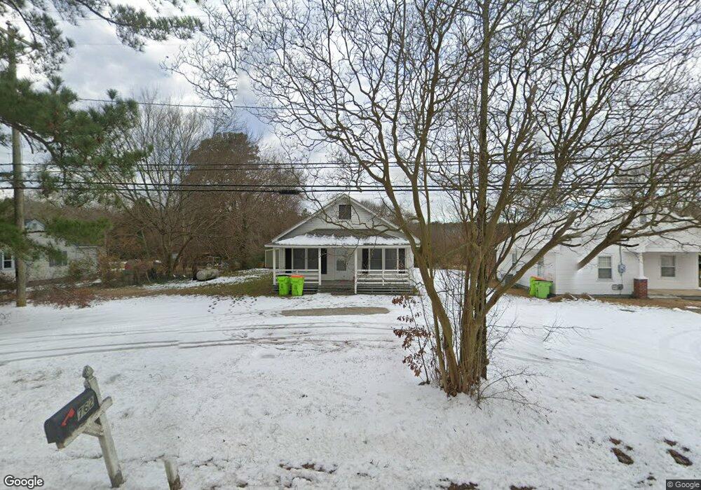
762 Nc Highway 48 Roanoke Rapids, NC 27870
Estimated Value: $91,352 - $141,000
3
Beds
2
Baths
1,320
Sq Ft
$85/Sq Ft
Est. Value
About This Home
This home is located at 762 Nc Highway 48, Roanoke Rapids, NC 27870 and is currently estimated at $112,088, approximately $84 per square foot. 762 Nc Highway 48 is a home located in Halifax County with nearby schools including Aurelian Springs Elementary School, William R. Davie Middle School, and Northwest Halifax High School.
Ownership History
Date
Name
Owned For
Owner Type
Purchase Details
Closed on
Oct 27, 2016
Sold by
Mincher Anthony Glenn
Bought by
Schoenherr Gl and Furcron Land Trust
Current Estimated Value
Purchase Details
Closed on
Sep 9, 2016
Sold by
Mincher Angela D
Bought by
Mincher Anthony G
Purchase Details
Closed on
Aug 12, 1999
Bought by
Mincher Angela D and Mincher Mincher,Anthony G
Create a Home Valuation Report for This Property
The Home Valuation Report is an in-depth analysis detailing your home's value as well as a comparison with similar homes in the area
Home Values in the Area
Average Home Value in this Area
Purchase History
| Date | Buyer | Sale Price | Title Company |
|---|---|---|---|
| Schoenherr Gl | $9,000 | None Available | |
| Mincher Anthony G | -- | None Available | |
| Mincher Angela D | -- | -- |
Source: Public Records
Tax History Compared to Growth
Tax History
| Year | Tax Paid | Tax Assessment Tax Assessment Total Assessment is a certain percentage of the fair market value that is determined by local assessors to be the total taxable value of land and additions on the property. | Land | Improvement |
|---|---|---|---|---|
| 2025 | $6 | $68,000 | $7,700 | $60,300 |
| 2024 | $6 | $42,600 | $7,700 | $34,900 |
| 2023 | $586 | $38,000 | $7,700 | $30,300 |
| 2022 | $598 | $38,000 | $7,700 | $30,300 |
| 2021 | $576 | $38,000 | $7,700 | $30,300 |
| 2020 | $576 | $38,000 | $7,700 | $30,300 |
| 2019 | $504 | $29,900 | $7,700 | $22,200 |
| 2018 | $492 | $29,900 | $7,700 | $22,200 |
| 2017 | $494 | $29,900 | $7,700 | $22,200 |
| 2016 | $469 | $29,900 | $7,700 | $22,200 |
| 2015 | $444 | $29,900 | $7,700 | $22,200 |
| 2014 | $475 | $37,030 | $9,430 | $27,600 |
Source: Public Records
Map
Nearby Homes
- 461 Pearson Hill Rd
- 1429 American Legion Rd
- 415 Hales Branch Dr
- 2013 Roanoke Ave
- 703 Andrews St
- 101 Martin Cir
- 120 Southgate Dr
- Tbd Hwy 158
- 1924 Willow St
- 127 Haywood Dr
- 130 Appleberry Ct
- 1914 Glover St
- 116 Lewis St
- 1445 E Chaloner Dr
- 1426 W Circle Dr
- 403 Oak St
- 144 Savannah Cir N
- 131-133 Savannah Cir N
- 117-121 Savannah Cir N
- 206 Hatteras Dr
- 752 Nc Highway 48
- 780 Nc Highway 48
- 780 N Carolina 48
- 792 Nc Highway 48
- 736 Nc Highway 48
- 736 N Carolina 48
- 730 Nc Highway 48
- 730 N Carolina 48
- 753 Nc Highway 48
- 797 Nc Highway 48
- 716 Nc Highway 48
- 811 Nc Highway 48
- 825 Nc Highway 48
- 719 Nc Highway 48
- 826 Nc Highway 48
- 682 Nc Highway 48
- 676 Nc Highway 48
- 839 N Carolina 48
- 839 Nc Highway 48
- 660 Nc Highway 48