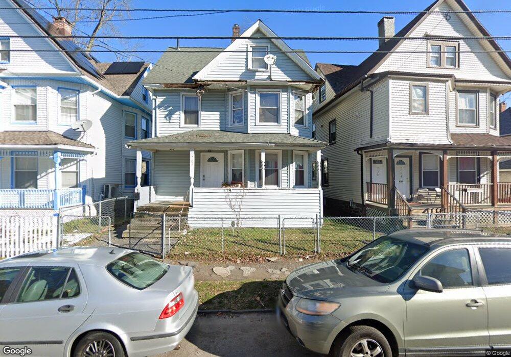
762 Norman St Bridgeport, CT 06605
West End-West Side NeighborhoodEstimated Value: $280,000 - $392,000
4
Beds
2
Baths
1,586
Sq Ft
$202/Sq Ft
Est. Value
About This Home
This home is located at 762 Norman St, Bridgeport, CT 06605 and is currently estimated at $321,012, approximately $202 per square foot. 762 Norman St is a home located in Fairfield County with nearby schools including James J. Curiale School, Bassick High School, and Catholic Academy of Bridgeport-St. Raphael Academy.
Ownership History
Date
Name
Owned For
Owner Type
Purchase Details
Closed on
Mar 28, 2000
Sold by
Turchiano Frank
Bought by
Rose Delroy
Current Estimated Value
Home Financials for this Owner
Home Financials are based on the most recent Mortgage that was taken out on this home.
Original Mortgage
$63,000
Interest Rate
10.88%
Purchase Details
Closed on
Feb 9, 2000
Sold by
Valenta Barbara
Bought by
Turchiano Frank
Home Financials for this Owner
Home Financials are based on the most recent Mortgage that was taken out on this home.
Original Mortgage
$63,000
Interest Rate
10.88%
Create a Home Valuation Report for This Property
The Home Valuation Report is an in-depth analysis detailing your home's value as well as a comparison with similar homes in the area
Home Values in the Area
Average Home Value in this Area
Purchase History
| Date | Buyer | Sale Price | Title Company |
|---|---|---|---|
| Rose Delroy | $70,000 | -- | |
| Rose Delroy | $70,000 | -- | |
| Turchiano Frank | $35,000 | -- | |
| Turchiano Frank | $35,000 | -- |
Source: Public Records
Mortgage History
| Date | Status | Borrower | Loan Amount |
|---|---|---|---|
| Open | Turchiano Frank | $178,500 | |
| Closed | Turchiano Frank | $131,000 | |
| Closed | Turchiano Frank | $63,000 |
Source: Public Records
Tax History Compared to Growth
Tax History
| Year | Tax Paid | Tax Assessment Tax Assessment Total Assessment is a certain percentage of the fair market value that is determined by local assessors to be the total taxable value of land and additions on the property. | Land | Improvement |
|---|---|---|---|---|
| 2025 | $4,805 | $110,590 | $40,320 | $70,270 |
| 2024 | $4,805 | $110,590 | $40,320 | $70,270 |
| 2023 | $4,805 | $110,590 | $40,320 | $70,270 |
| 2022 | $4,805 | $110,590 | $40,320 | $70,270 |
| 2021 | $4,805 | $110,590 | $40,320 | $70,270 |
| 2020 | $4,906 | $90,860 | $24,440 | $66,420 |
| 2019 | $4,906 | $90,860 | $24,440 | $66,420 |
| 2018 | $4,940 | $90,860 | $24,440 | $66,420 |
| 2017 | $4,940 | $90,860 | $24,440 | $66,420 |
| 2016 | $4,940 | $90,860 | $24,440 | $66,420 |
| 2015 | $5,143 | $121,870 | $36,970 | $84,900 |
| 2014 | $5,143 | $121,870 | $36,970 | $84,900 |
Source: Public Records
Map
Nearby Homes
- 1373 Iranistan Ave
- 60 Olive St
- 826 Norman St
- 592 Norman St Unit 594
- 414 Wood Ave
- 1199 Iranistan Ave Unit 1201
- 309 Pequonnock St
- 566 Wood Ave
- 393 Laurel Ave Unit 203
- 393 Laurel Ave Unit 415
- 700 Laurel Ave
- 200 Harral Ave
- 1872 North Ave Unit 1874
- 697 Laurel Ave
- 357 Norman St
- 687 Wood Ave
- 670 Clinton Ave
- 533 Clinton Ave
- 113 Milne St Unit 115
- 183 Calhoun Ave
- 768 Norman St Unit 770
- 768 Norman St Unit 1
- 756 Norman St Unit 756
- 754 Norman St Unit 756
- 754 Norman St Unit 754
- 754 Norman St Unit 754-756
- 754 Norman St Unit 1
- 776 Norman St
- 751 Norman St Unit 753
- 751 Norman St Unit 3
- 782 Norman St
- 782 Norman St
- 782 Norman St Unit 1227 Iranistan Av
- 765 Norman St Unit 767
- 109 Benham Ave Unit 2
- 773 Norman St Unit 775
- 759 Norman St
- 788 Norman St
- 781 Norman St Unit 783
- 115 Benham Ave Unit 117